Talk about a trip you took out to Anza Borrego
Pepperwood and Bow Willow
|
tekewin Posts: 365
4/16/2020
|
Drove the end of McCain Valley Road last Sunday for a BLM hike. Well, almost to the end of the road. The last half mile was badly rutted from rain so I stopped at the last windmills. No cars around, no people. It had rained on me the entire drive until the end when I saw patches of blue sky.
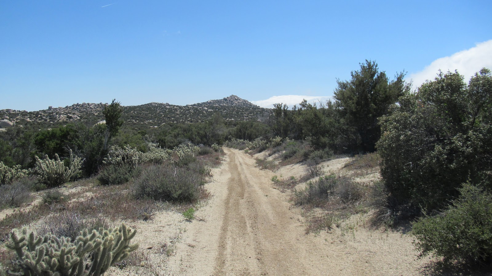
A single track continues north from the end of the road. It's mostly gently rolling land and half open desert. Eventually, I hit an old dirt road heading toward Pepperwood, which sits just above Canebrake.

Pepperwood, the high point is the middle bump. Red Top rising behind.
Pretty good scramble to the top, but only a couple of hundred feet. Thought I had found a register on top, but it turned out to be some kind of solar powered radio relay or something. Views were so nice into Canebrake and toward the Sawtooth Mountains.

Radio?


The tippy tops of False Sombrero and Sombrero
It was a few miles back on the road to get to the base of unofficial Bow Willow Peak. There was already the start of a some nice yellow blooms around the base. There is a line of giant boulders making up the summit. The highest boulders were class 5 and beyond reach without a rope. No register or marks found on either one. It felt great to get outside. Too bad so much public land is closed right now.
Bow Willow ahead


Looking back toward Pepperwood

Baby gopher snake, maybe 18 inches long
[edited for formatting]
edited by tekewin on 4/16/2020
|
|
|
+1
link
|
|
Brian Posts: 221
4/16/2020
|
Great trip report. I've done hikes leaving from Cottonwood campground, but have never driven the road beyond there. Always meant to some day. It's on my very long list of places I want to explore some day.
|
|
|
+1
link
|
|
tekewin Posts: 365
4/17/2020
|
Brian wrote:
Great trip report. I've done hikes leaving from Cottonwood campground, but have never driven the road beyond there. Always meant to some day. It's on my very long list of places I want to explore some day.
There's maybe a mile of road after Cottonwood. I chickened out when facing the deep ruts, probably could have driven them but was happy to hike a little extra. I'm thinking about looking around Mojave until AB reopens. Or going further east on I-8. I can do those trips with one stop for self serve gas and no interactions.
|
|
|
+1
link
|
|
dsefcik Administrator Posts: 2609
4/17/2020
|
tekewin wrote:
I'm thinking about looking around Mojave until AB reopens. Or going further east on I-8. I can do those trips with one stop for self serve gas and no interactions. I think parts of CNF are open as well as wilderness areas of BLM, all within reach of ABDSP areas.
--
http://www.sefcik.com
http://www.darensefcik.com
http://www.carrizogorge.com
|
|
|
+1
link
|
|
tekewin Posts: 365
4/17/2020
|
Rocko1,
Can you point me toward Domelands? Not sure where that is.
|
|
|
+1
link
|
|
Buford Posts: 453
4/17/2020
|
I assume the small solar panel and array is BP, but I don't know for certain. I do know I stumbled on a similar setup somewhere in the vicinity of the Stage BM.
--
Links to my photos: ABDSP photos, Bighorn sheep photos, ABDSP time lapse video, Wildlife photos (mainly birds)
|
|
|
+1
link
|
|
deborah Posts: 115
4/25/2020
|
Great pictures and info! Thanks for sharing!
|
|
|
+1
link
|