|
rockhopper Posts: 668
1/7/2013
|
Hello all. Great trips posted so far as desert season is in full gear. Took a two day run out to the desert Fri and Sat the 4th and 5th of January. I'm calling it Expedition 2013.01
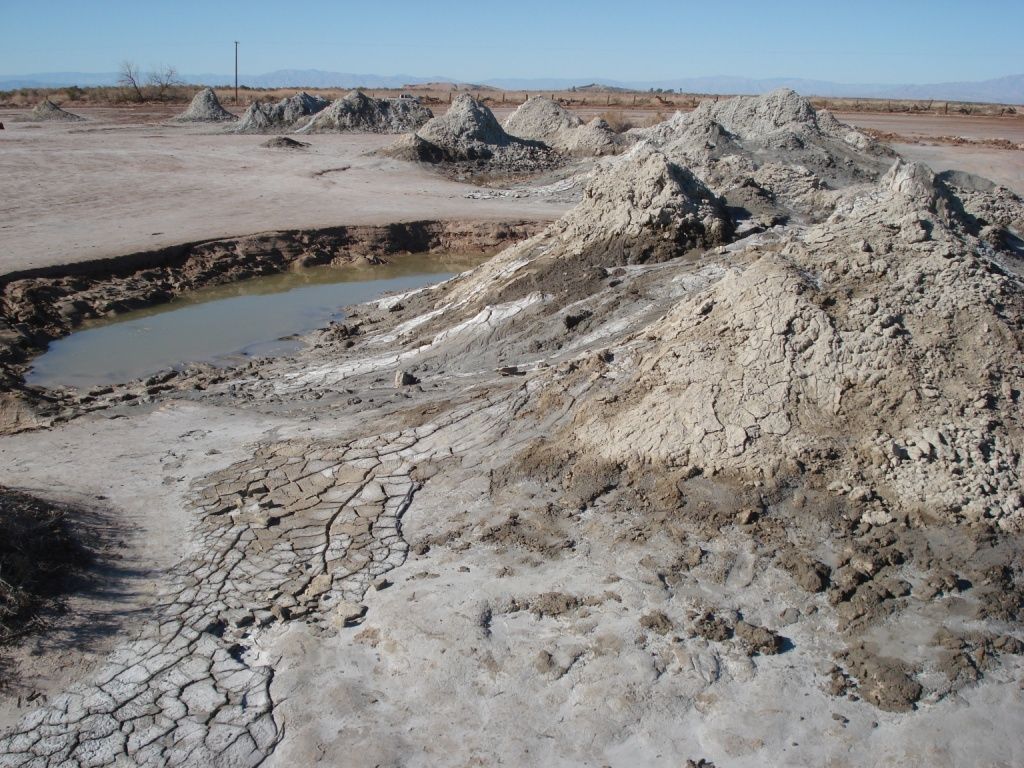
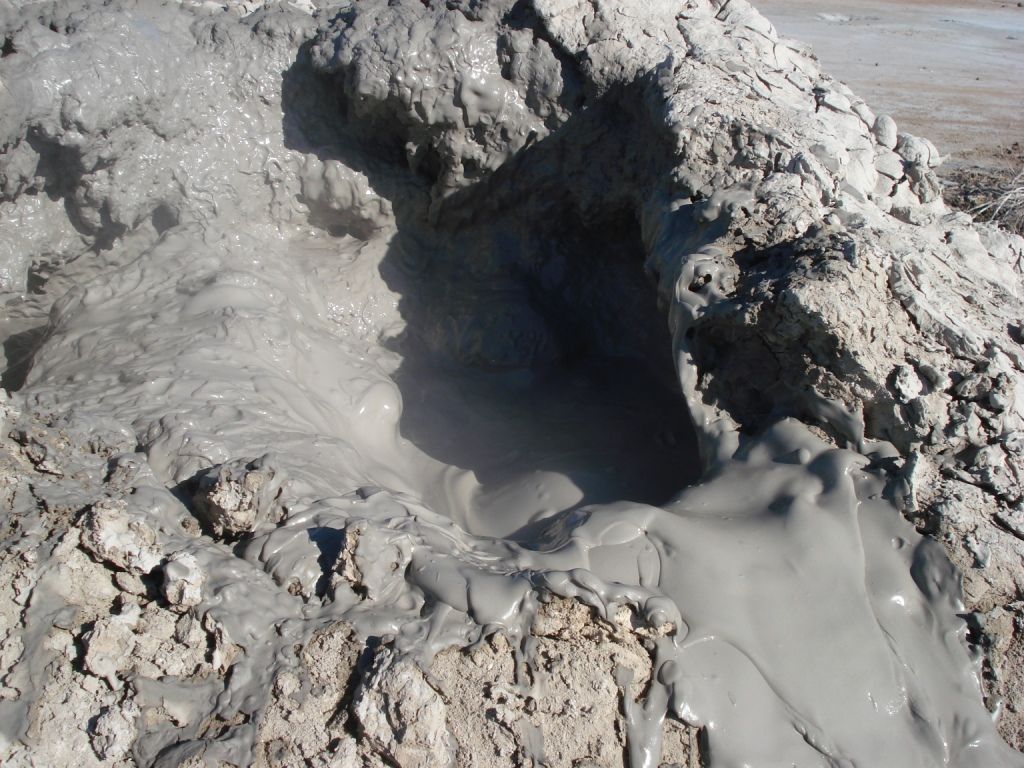
First stop was a quick stop at the geothermal mud volcanoes on the eastern shore of the Salton Sea.
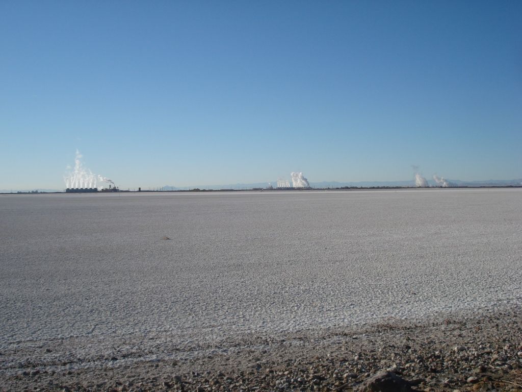
Geothermal plants
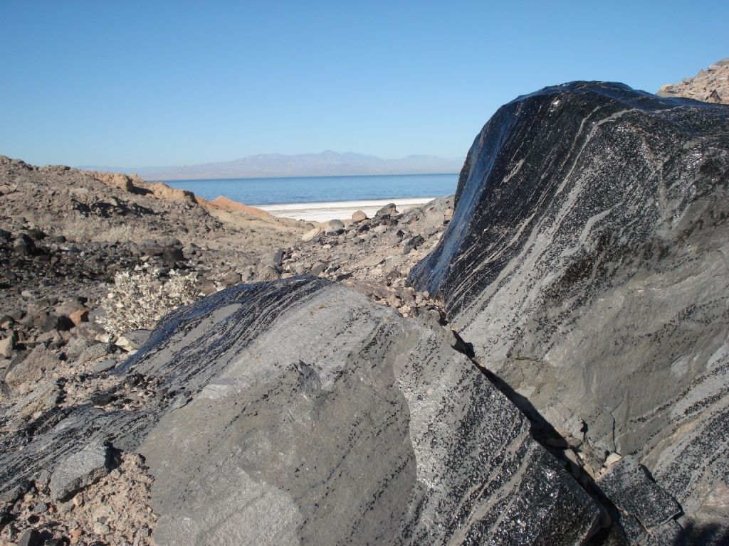
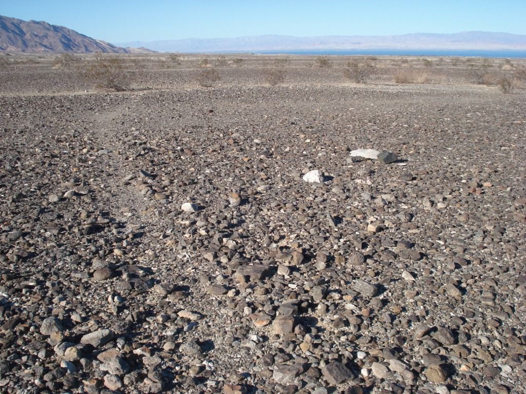
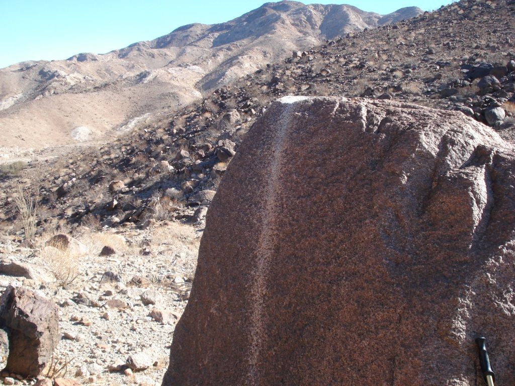
Obsidian source with Santa Rosa Mountians in background.
Headed back west to hike on some old Native American trails.
This one is near the old shoreline of Ancient Lake Chauilla
Headed north to the county line. Plan was to hike into ABDSP from the east.
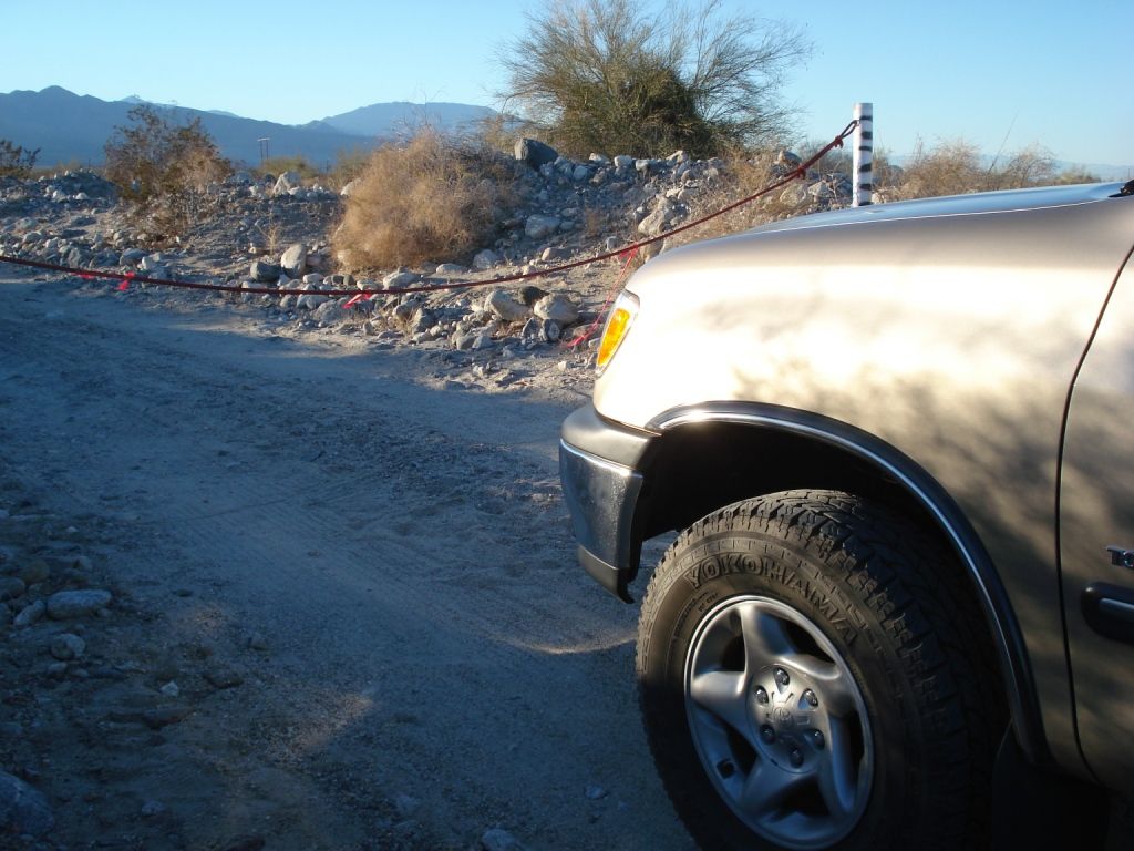
Hit the dreaded lock gate! When ever these #^%&* throw up a new locked barrier could they please proved a turnaround!
Headed back South. Parked and hiked over Mountian passes following the ancient trails to the oasis.
On the off again on again trail. Came over the pass to the right. Ancient shore line kissed these hills on the other side.
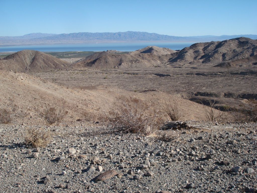
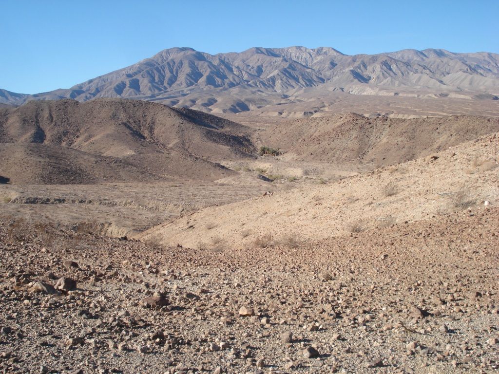
Oasis in sight. Villager peak and Rabbit beyond. Can't quite see the peaks.
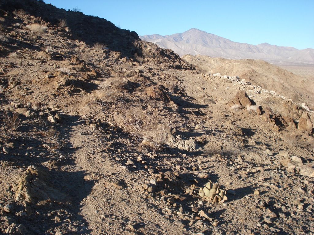
The "trail"
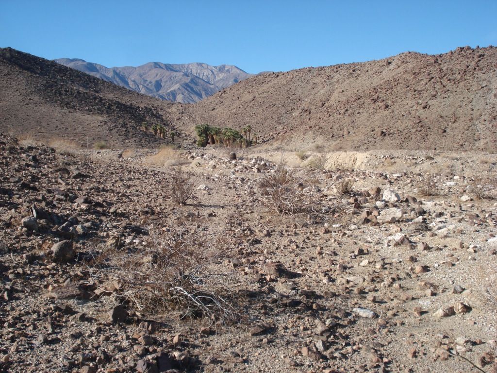
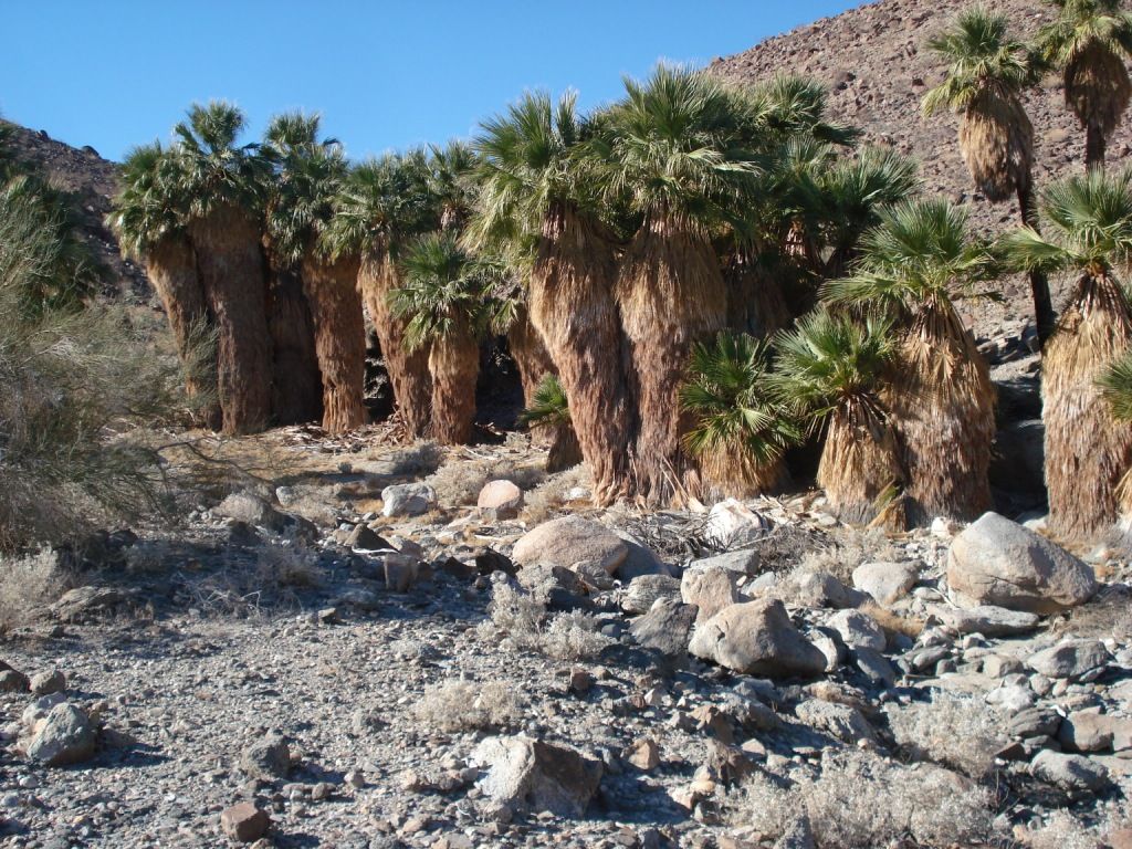
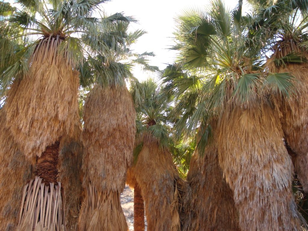
Traverine Palm Oasis
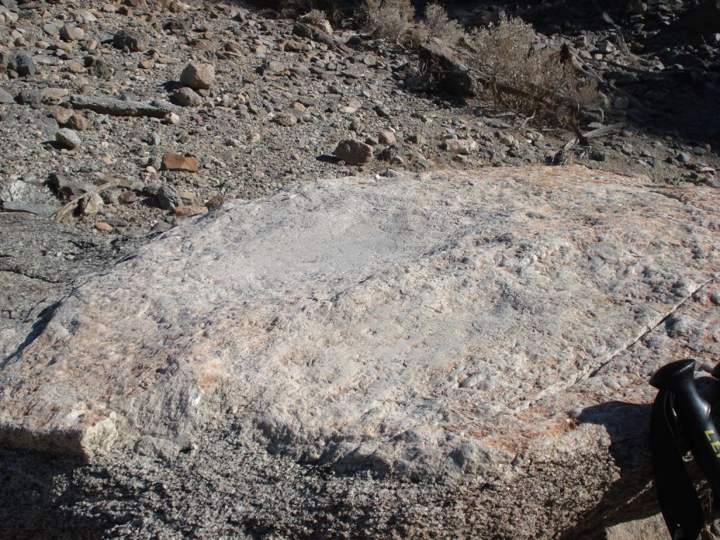
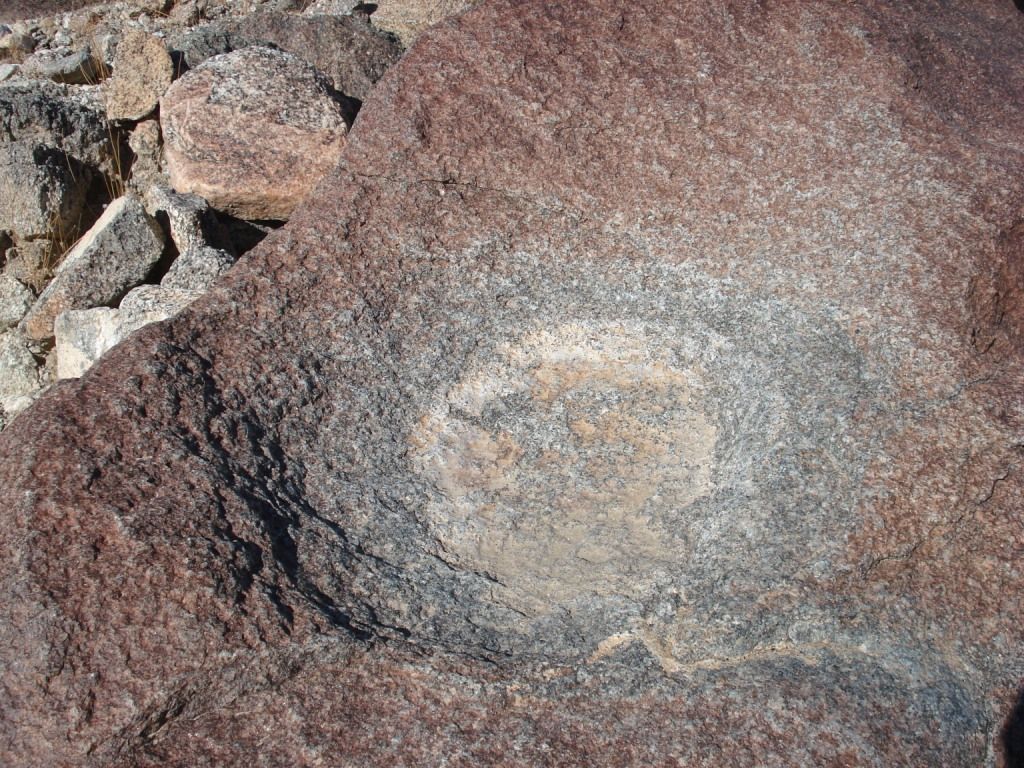
This was an interesting smooth grinding rock.
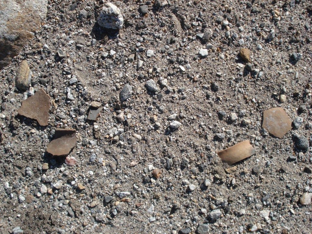
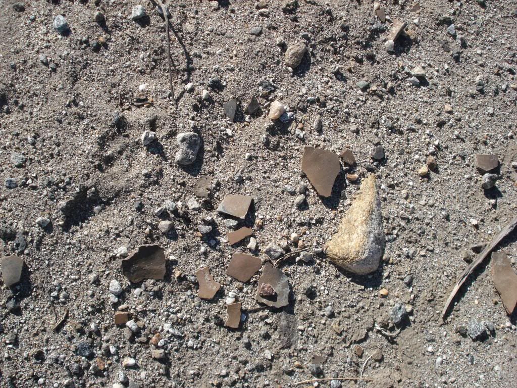
Area littered with pot shards
Trail marker? with motareo ontop.
more shards
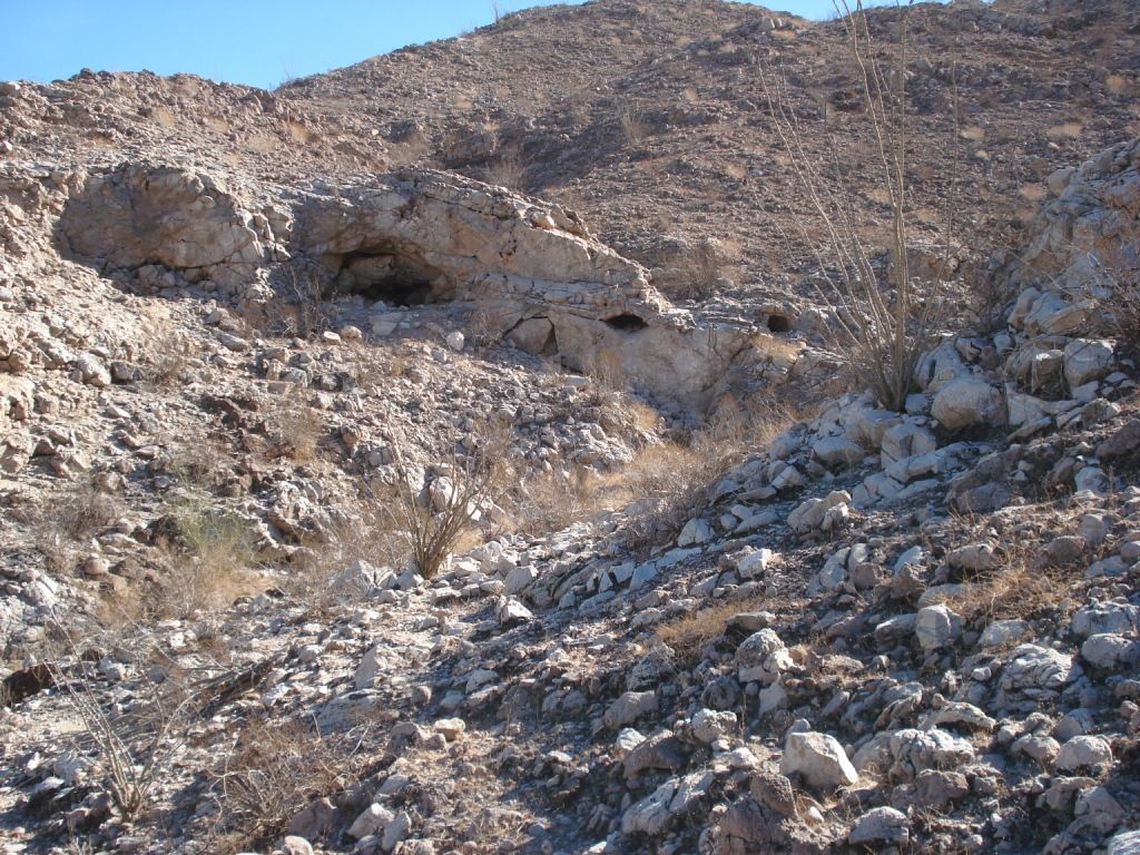
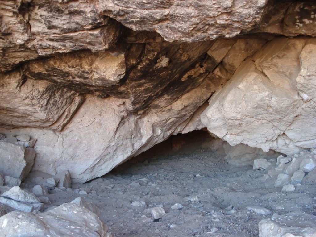
Old trail to Grottos
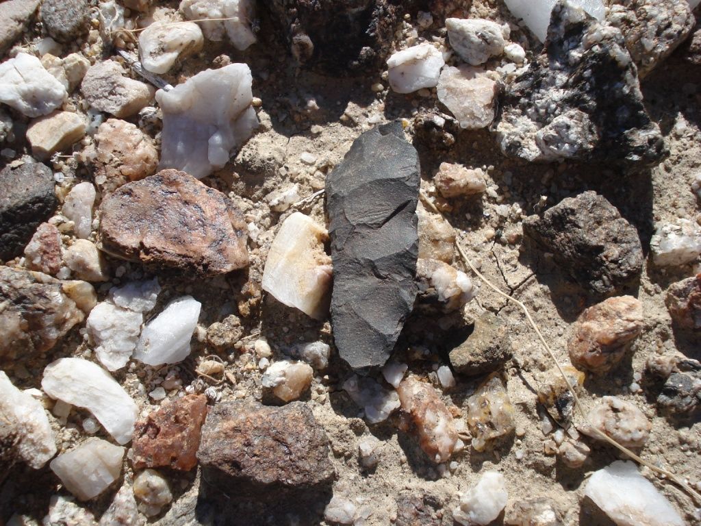
Arrow point shard
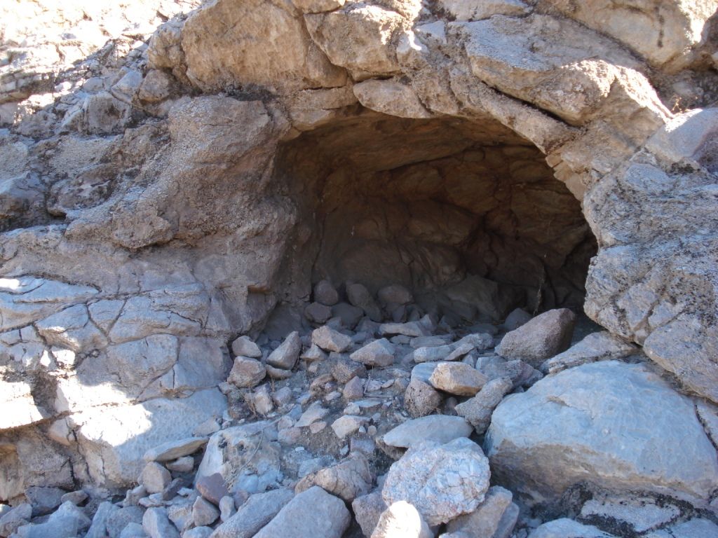
Storm shelter. Looked well used.
Evidence of cooking and heating. Lots of pottery pieces.
I'll be back!
edited by rockhopper on 1/7/2013
edited by rockhopper on 1/7/2013
edited by rockhopper on 1/8/2013
|
|
|
link
|
|
ziphius Posts: 911
1/8/2013
|
That's a great trip in an area we don't get to see often. The obsidian outcrop is great. Reminds me of the obsidian points shown at the ABDSP visitor center that came from the Mine Wash area, where they state that the nearest source of obsidian comes from the Salton Sea. Photos of those old native trails just tie that whole collection, transport, and production of obsidian points from that region to other parts of AB together.... Any water at Travertine?
--
http://www.coyotelearning.org
|
|
|
link
|
|
tommy750 Posts: 1040
1/8/2013
|
Great trip! Never have been to the mud volcanoes or Obsidian Butte. Amazing what they can do tracing the origins of obsidian artifacts these days. Here's an interesting link about obsidian sites used by the indigenous in the Southwest including Obsidian Butte. Tom
http://www.swxrflab.net//swobsrcs.htm
|
|
|
link
|
|
hikerdmb Posts: 423
1/8/2013
|
Great trip. Looks like lots of history in all those places. I agree that there have been some good trip reports the last few days.
David
|
|
|
link
|
|
dsefcik Administrator Posts: 2609
1/8/2013
|
Great stuff...if you have never been to the mud pots or obsidan butte they are worth the gas money....amazing places.
Was the Red Sea still flowing at obsidian butte?

--
http://www.sefcik.com
http://www.darensefcik.com
http://www.carrizogorge.com
|
|
|
link
|
|
rockhopper Posts: 668
1/8/2013
|
Here are answers to some questions:
Ziphius: There was a walk in excavated well dug near the grove but was dry
Tommy: I have read about the early peoples traveling from far off to these obsidian fields after Lake cahuilla water level dropped down to lower levels as is today.
hikerdmb: I agree the trips of late have been great! Lets keep em' coming!
dsefcik: The photo was taken a few miles north of obsidian butte near the mud pot/ volcanoes.
Red sea? Are you talking about the New River? It looked a little muddy color but no suds.
actually looked better than I would have thought
added a couple youtube videos
Mud Volcanoes
http://www.youtube.com/watch?v=mcQm2-X44Zw
Ancient trail near Ancient Lake Cahuilla shoreline
http://www.youtube.com/watch?v=a9TLMJfGLiE
edited by rockhopper on 1/8/2013
|
|
|
link
|
|
dsefcik Administrator Posts: 2609
1/9/2013
|
rockhopper wrote:
dsefcik: The photo was taken a few miles north of obsidian butte near the mud pot/ volcanoes.
Red sea? Are you talking about the New River? It looked a little muddy color but no suds.
actually looked better than I would have thought I was there a couple of times last year and there was a red water "sea" right next to obsidian butte, it was pretty cool.
--
http://www.sefcik.com
http://www.darensefcik.com
http://www.carrizogorge.com
|
|
|
link
|
|
rockhopper Posts: 668
1/14/2013
|
Added a couple youtube videos of the caves near Travertine Palms
Cave Trail:
http://www.youtube.com/watch?v=kRoxEP78yhw
Caves:
http://www.youtube.com/watch?v=DSqWdbmIriE
|
|
|
link
|
|
kylekai Posts: 82
1/15/2013
|
Very interesting. I hope to head that way this weekend and you've given me some areas to explore.
Now for some shameless self-promotion. You can find the 11 or so mud caves and hot springs near the Salton Sea (and another 1,600 other hot springs in the US) with my 99 cent iPhone app Hot Springs of the US:
https://itunes.apple.com/us/app/hot-springs-of-the-usa/id583654750?mt=8
-Bill
|
|
|
link
|
|
harmono Posts: 71
1/20/2013
|
Got it. Nice.
kylekai wrote:
Very interesting. I hope to head that way this weekend and you've given me some areas to explore.
Now for some shameless self-promotion. You can find the 11 or so mud caves and hot springs near the Salton Sea (and another 1,600 other hot springs in the US) with my 99 cent iPhone app Hot Springs of the US:
https://itunes.apple.com/us/app/hot-springs-of-the-usa/id583654750?mt=8
-Bill
--

IMG_1032 by harmono619, on Flickr
|
|
|
link
|
|
RobertMarcos Posts: 23
12/24/2016
|
A great and productive tour. Thanks for the photos.
|
|
|
link
|