|
AdventureGraham Posts: 170
11/18/2012
|
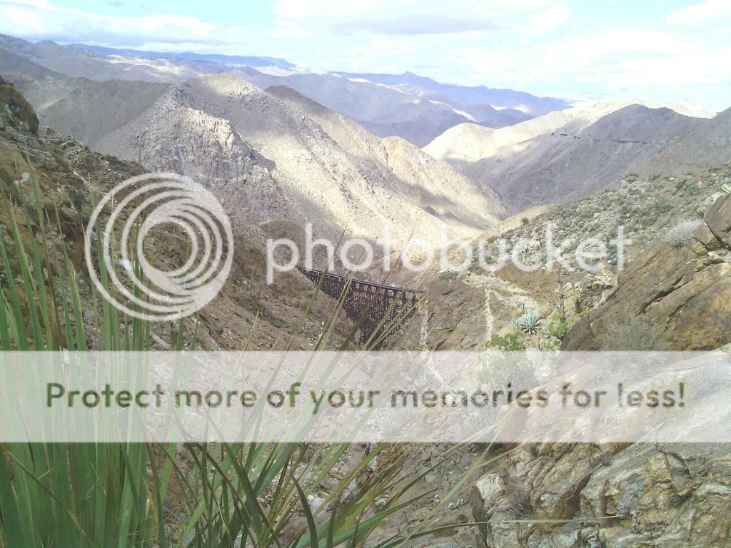
The Carrizo Gorge at the southern edge of Anza-Borrego Desert State Park is a spectacular chasm and home to the Goat Canyon railroad trestle. Two hundred feet tall and 750 feet long, it's the tallest curved wooden trestle ever built in the world.
The construction of the San Diego & Arizona Eastern Railroad began during World War I in the steep-walled Carrizo Gorge near the town of Jacumba. Many people were convinced at the time that it couldn't be done, but John D. Spreckels didn't rest until the "impossible track" was completed in November, 1919, at a cost of $18 million. The Goat Canyon trestle was built in 1932 after an earthquake collapsed one of the tunnels.
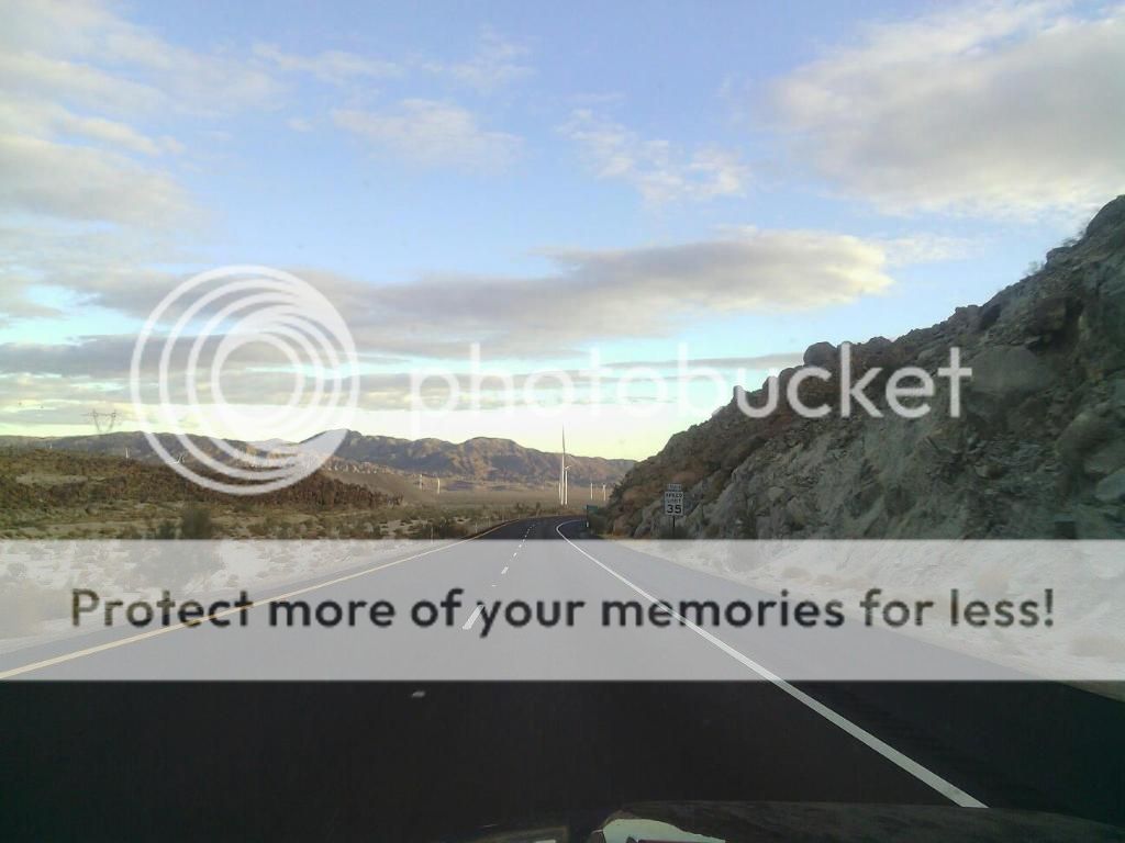
Heading east along I-8.

Nearing the desert town of Ocotillo.
A portion of desert not ruined by the Ocotillo Express wind farm.

The area was busy with construction.


Montero Palms Oasis.


A bit of boulder scrambling above the palms.

Looking back towards where we came.

Still climbing...

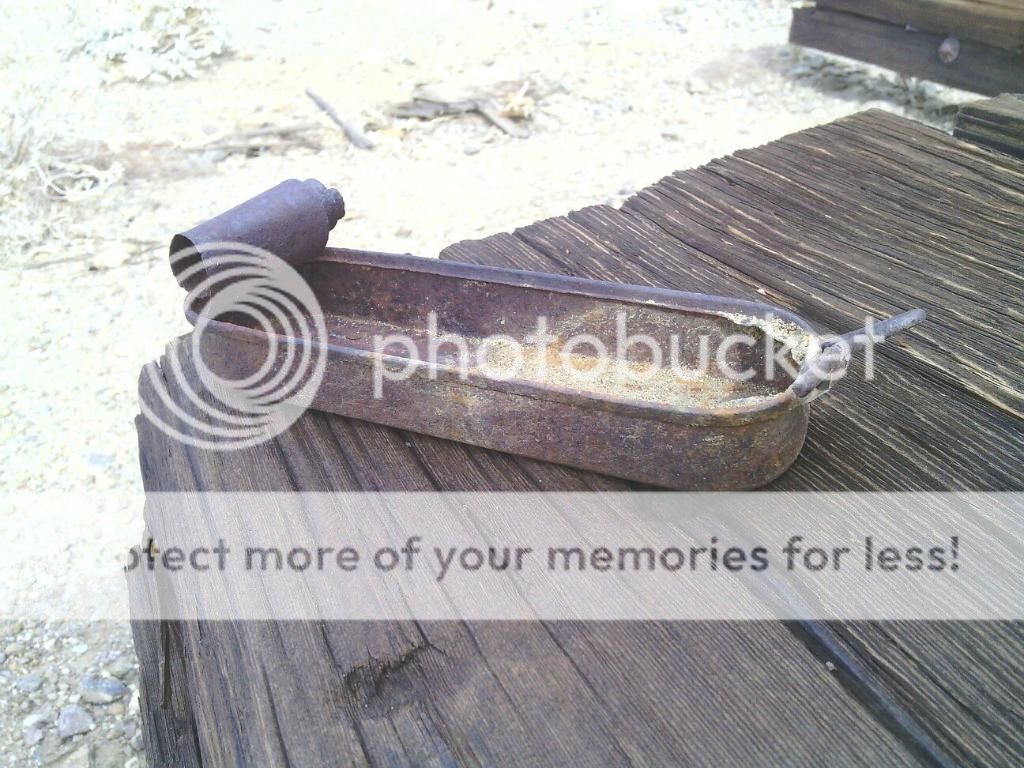
We found Native American morteros below and above the palms.


Steve and his brother-in-law, at the top of the first ridge.

First glimpse of the trestle.
Working our way down the dry waterfalls.


Don't fall!

Steve was feeling adventurous.

King of the world... or wreck.

Looking back towards the trestle.

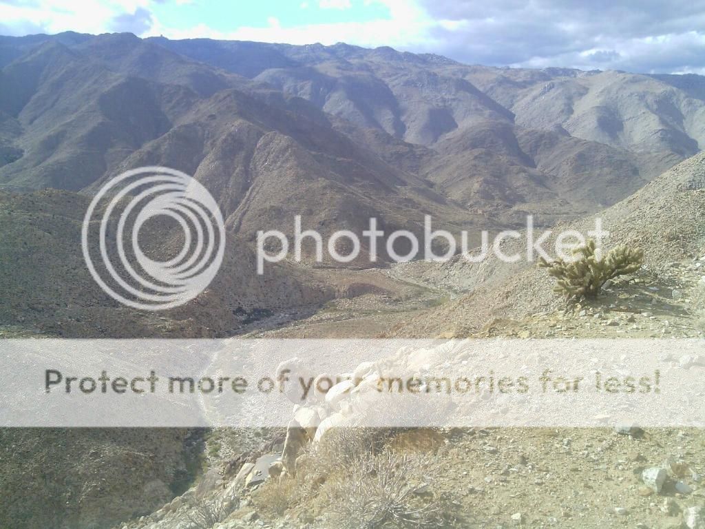
Carrizo Gorge snakes its way below us.
Something was hungry...


We make our way into a valley that contains various remnants of the railroad construction work.


Looks like a fixer-upper!

The old railroad workers camp.

Here's the pic Tom posted earier.


We passed Indian Hill on the way back but didn't look for the Indian village site since we were feeling tired and it was getting late. We piled in my Jeep and made our way back to where we had left Steve's 4runner at the trail head. It was a great hike and I hope I don't let another two years go by before I head out there again.
edited by BorregoWrangler on 11/18/2012
|
|
|
link
|
|
dsefcik Administrator Posts: 2609
11/18/2012
|
Great TR, I have never done that route. Looks like you got a hawk(?) in your tunnel photo....
That photo of the barrel wall is awful, Bob and I went out there last year and there was much,much more left of it. Your photo makes it look like it is almost gone.
--
http://www.sefcik.com
http://www.darensefcik.com
http://www.carrizogorge.com
|
|
|
link
|
|
surfponto Administrator Posts: 1362
11/18/2012
|
Looks like a great day BorregoWrangler 
Have done that route up from Mortero Palms to the Goat Canyon Trestle a couple times.
Never have done a loop like that out to the tracks though.
How long did that take?
Like Daren says, I can't believe how much smaller the wall at the Railroad camp is?
Are people removing parts of the wall?
Bob
edited by surfponto on 11/18/2012
--
https://www.anzaborrego.net/


|
|
|
link
|
|
hikerdmb Posts: 423
11/18/2012
|
Great trip. Good call having another rig at the Indian Hill end of the hike.
David
|
|
|
link
|
|
tommy750 Posts: 1040
11/18/2012
|
Great trip! Like the pics. Tom
|
|
|
link
|
|
AdventureGraham Posts: 170
11/19/2012
|
Daren Sefcik wrote:
Great TR, I have never done that route. Looks like you got a hawk(?) in your tunnel photo....
That photo of the barrel wall is awful, Bob and I went out there last year and there was much,much more left of it. Your photo makes it look like it is almost gone.
It sure looks like a hawk. I didn't even notice that.
surfponto wrote:
Looks like a great day BorregoWrangler
Have done that route up from Mortero Palms to the Goat Canyon Trestle a couple times.
Never have done a loop like that out to the tracks though.
How long did that take?
Like Daren says, I can't believe how much smaller the wall at the Railroad camp is?
Are people removing parts of the wall?
Bob
The hike is around 11 miles and took about 7 hours. Yeah that wall is in bad shape. There was more to it when I was out there in January. I sure hope other people aren't messing with it.
edited by BorregoWrangler on 11/19/2012
|
|
|
link
|
|
ziphius Posts: 911
11/19/2012
|
Nice post John! The mortar on that old structure held up much better than the cans embedded in it. I bet a lot more of the structure would be standing today if they had used rocks as their primary wall material. But that probably would have required much more mortar (smaller rocks). Funny, the hawk (or falcon with unusually broad wings) was the first thing I noticed in your photo.  Thanks for posting. - Jim Thanks for posting. - Jim
--
http://www.coyotelearning.org
|
|
|
link
|
|
surfponto Administrator Posts: 1362
11/19/2012
|
Quick question.
Did you follow the tracks all the way back through the last tunnel (green line in picture) and then hike over to the railroad camp or did you take that trail off to the south that intersects the railroad tracks for a more direct route?
the reason I ask is because we were thinking of hiking from the RR camp to the tracks by way of a trail I saw last time we were out. (red line in picture)

Thanks,
Bob
--
https://www.anzaborrego.net/
|
|
|
link
|
|
AdventureGraham Posts: 170
11/19/2012
|
surfponto wrote:
Quick question.
Did you follow the tracks all the way back through the last tunnel (green line in picture) and then hike over to the railroad camp or did you take that trail off to the south that intersects the railroad tracks for a more direct route?
the reason I ask is because we were thinking of hiking from the RR camp to the tracks by way of a trail I saw last time we were out. (red line in picture)
Thanks,
Bob
Yeah, we didn't hike along the green route at all. We turned southeast (just before the tunnel with hawk in the photo) and onto the route highlighted in red. We had left my Jeep parked along the tracks right where the G in Google is on your map. The red route is actually an old Jeep trail that takes you all the way to the railroad tracks. I once drove all the way out there before I knew it was a closed route. It was blocked off and clearly marked when we were out there, though.

Parked next to the old RR workers camp.
edited by BorregoWrangler on 11/19/2012
|
|
|
link
|
|
AdventureGraham Posts: 170
11/19/2012
|
Here are some pics that my friend took:
"What can I say other than that this was another great hike with great company... I gotta admit, I was pretty worn out by the time we got home, but a long hot shower and a good night's rest, and I'm good as new." -Steve


edited by BorregoWrangler on 11/19/2012
|
|
|
link
|
|
surfponto Administrator Posts: 1362
11/20/2012
|
Great pictures.
That rock structure is pretty interesting. We were thinking of hiking that jeep trail this Saturday.
Kind of depends how we are feeling after Friday nights post Thanksgiving celebration in Carrizo Gorge
--
https://www.anzaborrego.net/
|
|
|
link
|