|
tommy750 Posts: 1086
12/29/2017
|
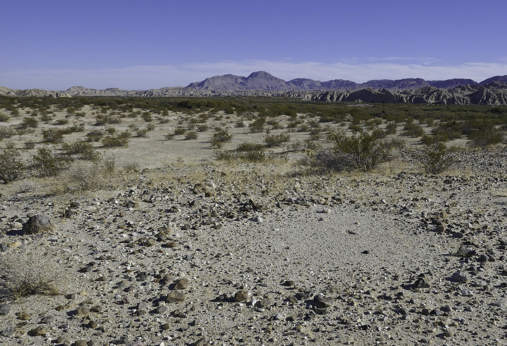
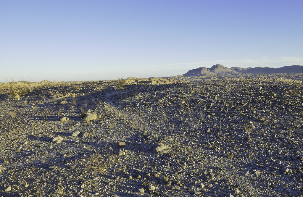
Thought I'd burn off some Christmas calories and check out a few places I've been meaning to visit mainly stumbling upon while checking out GE. Three streams flow into the Carrizo Valley, Vallecito, Bow Willow and Carrizo. They feed Carrizo Cienaga/Marsh, an area undergoing tamarisk removal with mitigation dollars from Pattern Energy. Headed out Bow Willow Creek and parked near an old well and nearby structure remains possibly the old Bow Willow ranger station. Headed south over a small ridge and came across this recent addition to ABDSP:
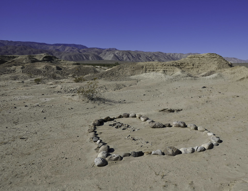 Rock Heart by tomteske, on Flickr Rock Heart by tomteske, on Flickr
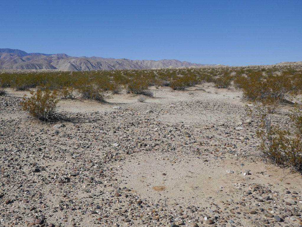
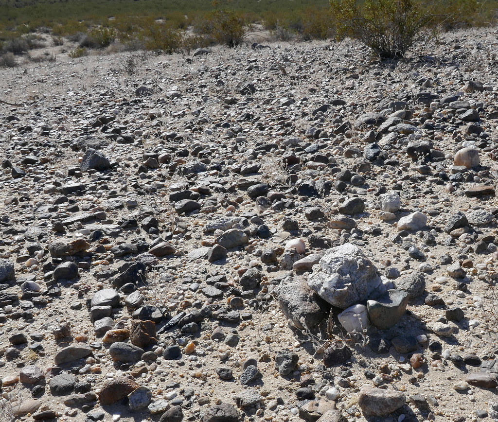
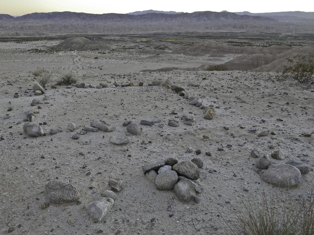
On some low lying rises, a few cleared circles, some with small cairns and a few scattered flakes.
 Cleared Circles2 by tomteske, on Flickr Cleared Circles2 by tomteske, on Flickr
 Small Cairn2 by tomteske, on Flickr Small Cairn2 by tomteske, on Flickr
On the way back, stumbled on this, presumably from one of the homesteaders that carved up parts of Carrizo Valley.
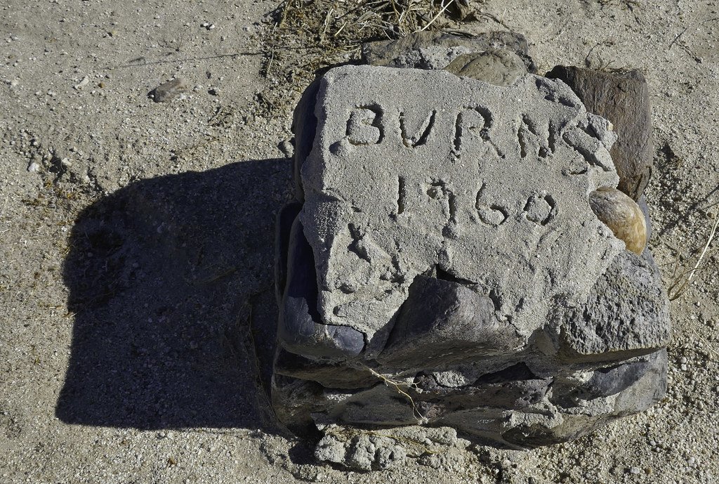 Burns 1960 by tomteske, on Flickr Burns 1960 by tomteske, on Flickr
Ended up finding over a dozen stone posts, some partially completed and others still piles of cobble next to a marker awaiting completion. Couldn't find much history about the homesteaders in this area. The only site I found info on was the stone cabin near the Carrizo Stage Station built by the Graves family of El Cajon per Lindsay.
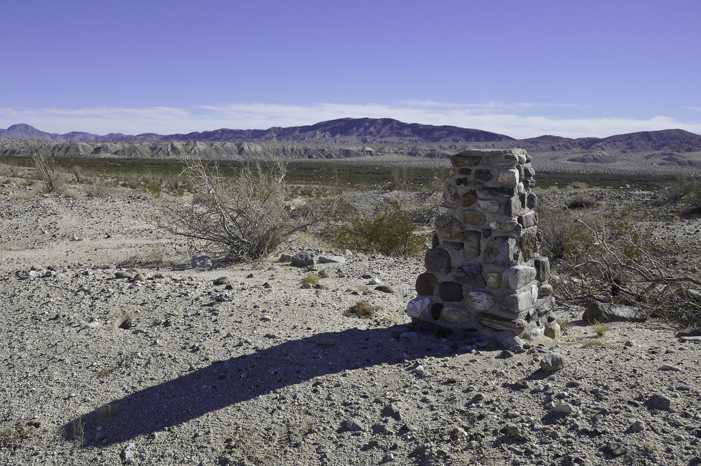 Burns Stele by tomteske, on Flickr Burns Stele by tomteske, on Flickr
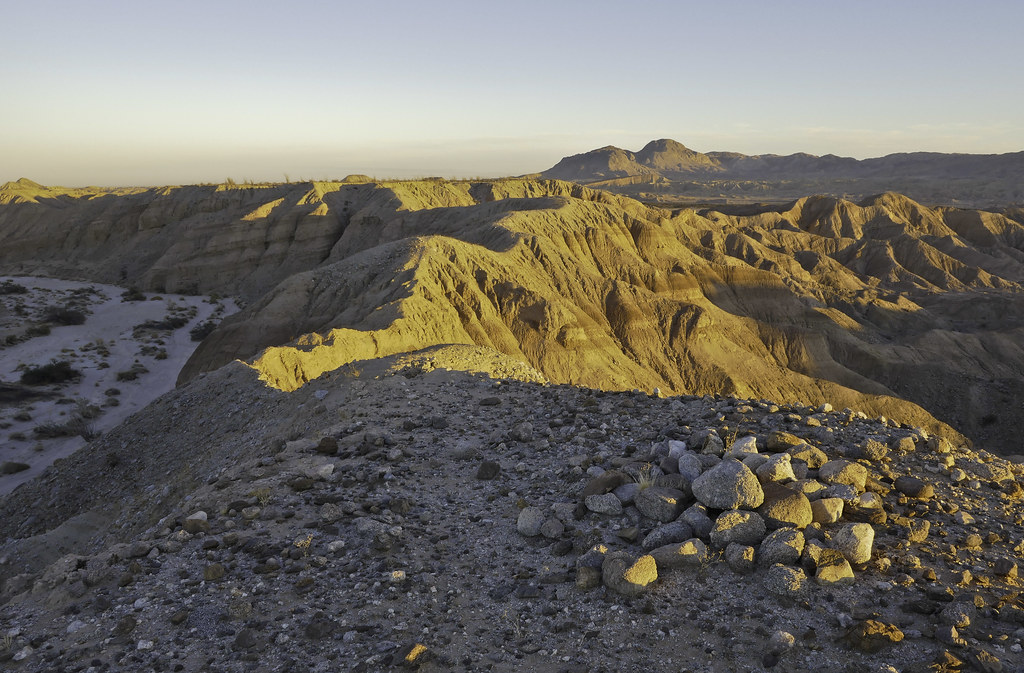
Headed further downstream past the confluence of the three streams and started toward BM LOST, a great BM name, IMHO. Encountered more cleared circles. Reportedly they're now felt to be some sort of ceremonial prayer site and not "sleeping circles" since many are too small to sleep in.
 Cleared Circle by tomteske, on Flickr Cleared Circle by tomteske, on Flickr
 Cleared Circles by tomteske, on Flickr Cleared Circles by tomteske, on Flickr
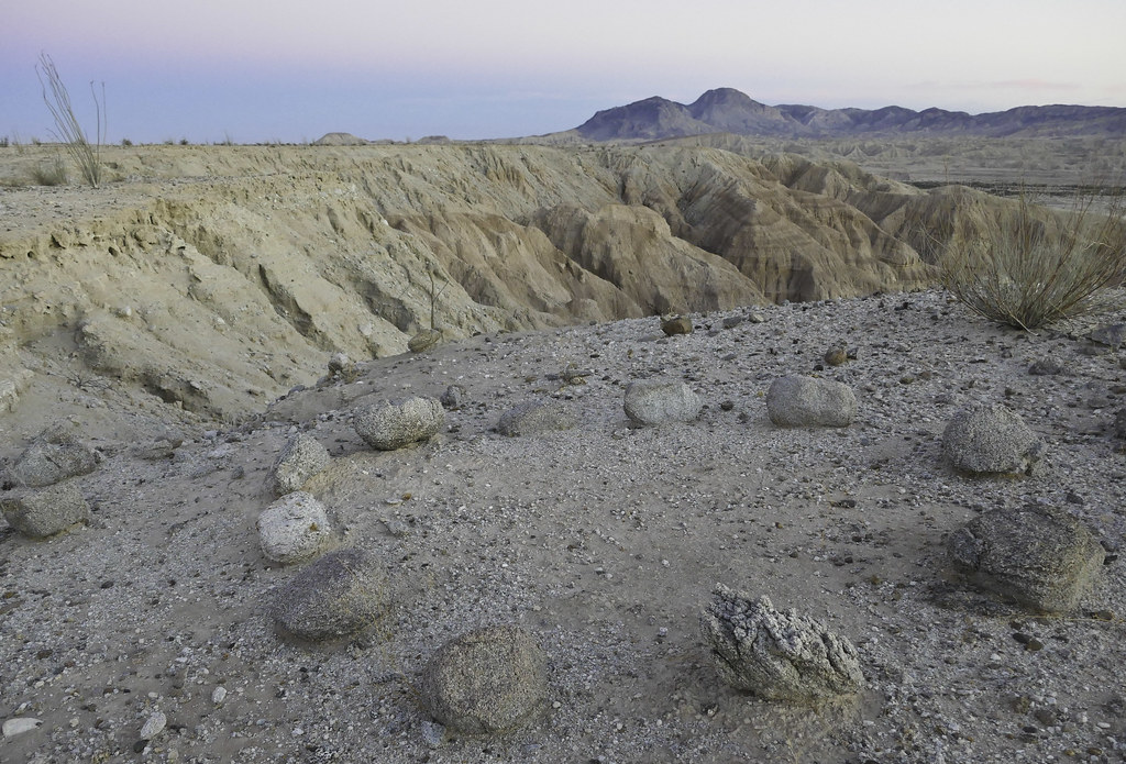
Headed north and made it to BM LOST. One set of recent foot prints was spotted but no register. Here is the view from LOST looking southeast.
 View from BM LOST by tomteske, on Flickr View from BM LOST by tomteske, on Flickr
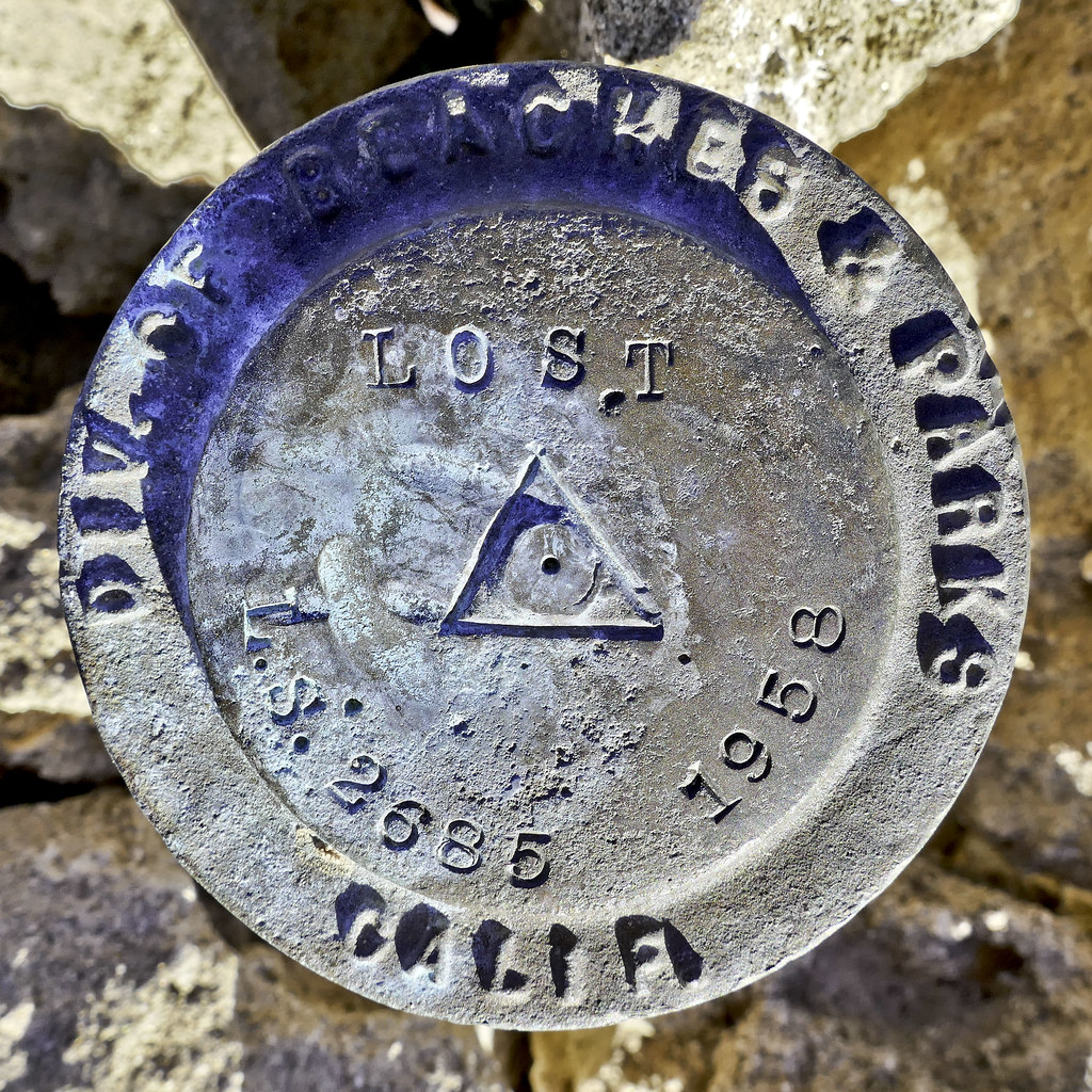 BM LOST by tomteske, on Flickr BM LOST by tomteske, on Flickr
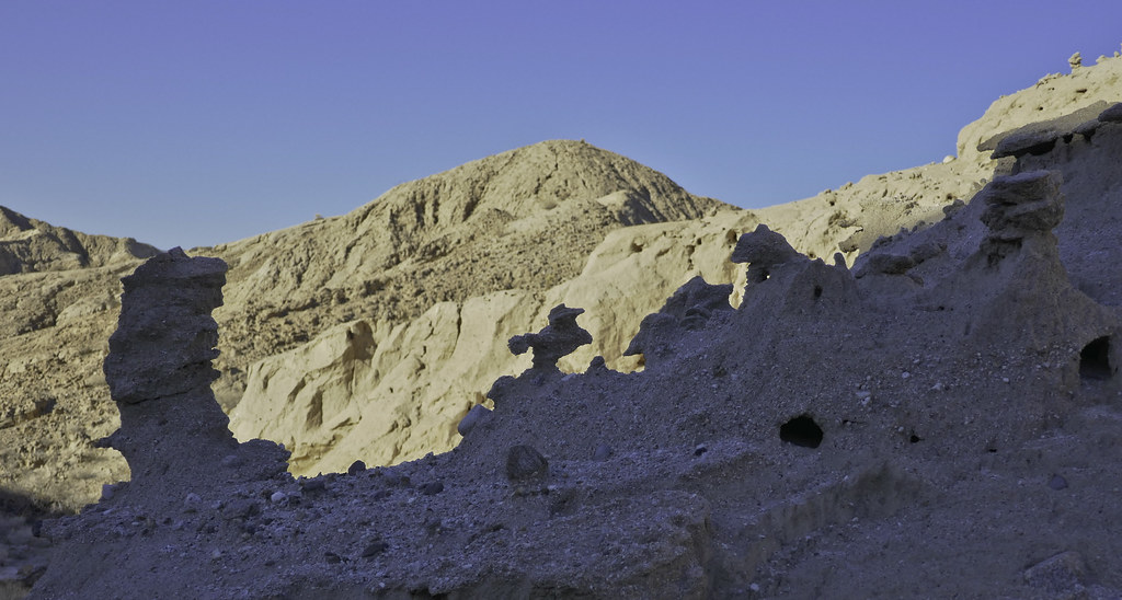
Here's the view toward the next stop, South Mesa. Just need to find a suitable finger to ascend.
 To the North From BM LOST by tomteske, on Flickr To the North From BM LOST by tomteske, on Flickr
Wind carved statuettes.
 Statuettes by tomteske, on Flickr Statuettes by tomteske, on Flickr
Finally on top without too much difficulty.
 North of BM LOST by tomteske, on Flickr North of BM LOST by tomteske, on Flickr
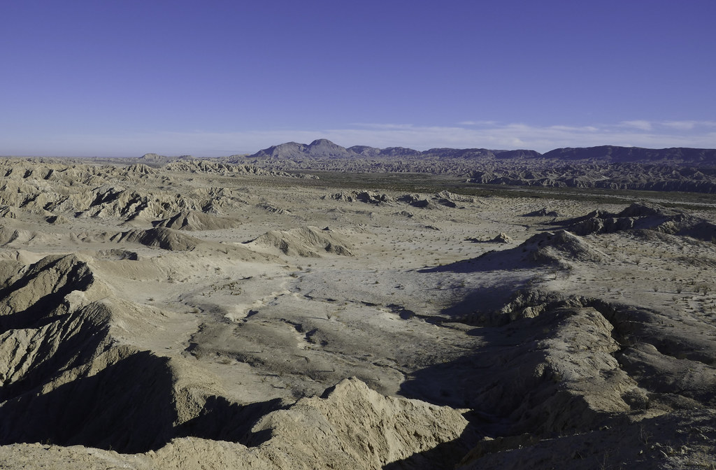
Wouldn't say South Mesa is the most picturesque site in Anza Borrego, but it does have some funky stuff.
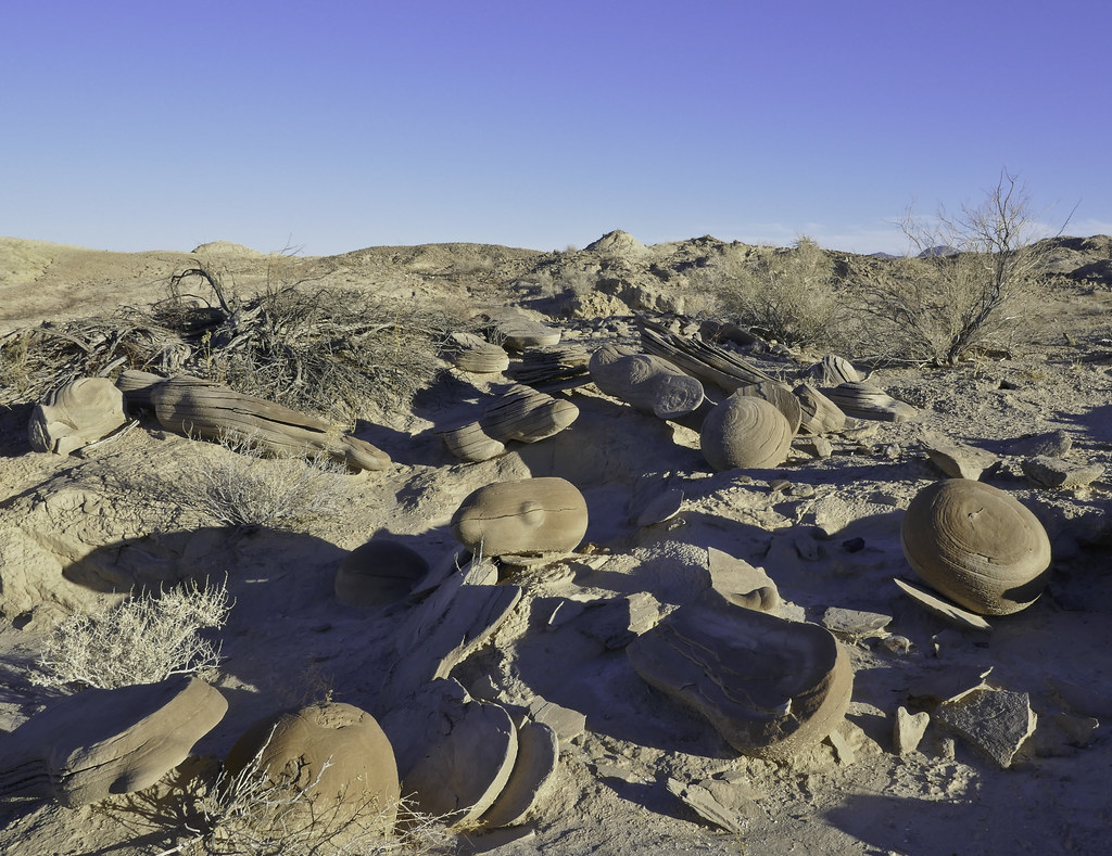 Concretions by tomteske, on Flickr Concretions by tomteske, on Flickr
Dropped into a tributary of Gert Wash and headed toward a possible old trail spotted on GE. Walked right by BM Gert but forgot to add its location to my gps so maybe next time. Found this this little guy. Feather pattern is kinda neat close up. I know one of you knows what kind of bird this is.
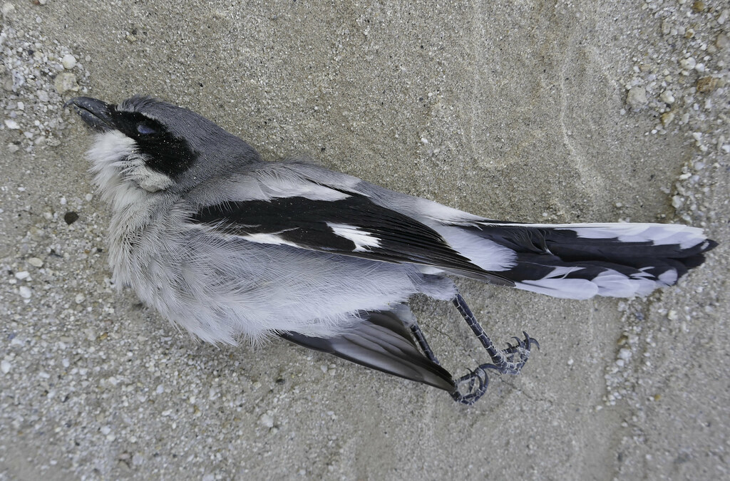 Fallen by tomteske, on Flickr Fallen by tomteske, on Flickr
 Plumage by tomteske, on Flickr Plumage by tomteske, on Flickr
Due to my usual late start times, was getting late in the day when I finally came across the trail and still only about half done with the trip.
 Ancient Trail by tomteske, on Flickr Ancient Trail by tomteske, on Flickr
Before a sketchy washed out segment, what appears to be a trail cairn
 Trail Cairn by tomteske, on Flickr Trail Cairn by tomteske, on Flickr
Came across a nice rock circle but it was right next to a rock square with some sort of cairns on one side, all being kinda weird.
 Rock Circle by tomteske, on Flickr Rock Circle by tomteske, on Flickr
 Rock Square by tomteske, on Flickr Rock Square by tomteske, on Flickr
On a previous trip out here ( http://www.anzaborrego.net/anzaborrego/forum/topic948-carrizo-badlands.aspx ), I had found this rock square and assumed it was for an old miner's tent.
 Southern Square by tomteske, on Flickr Southern Square by tomteske, on Flickr
Started thinking about it and remembered I'd spotted another similar rock square on GE miles to the north and wondered if they were related. Drew a NS line through the three and they all were exactly on it. Looked carefully up and down the line and found four more rock squares exactly on the same line. The line extended a little more than four miles and was slightly inside the CIA. Presumably it provided some sort of guidance for aircraft but the small 10 ft X 10 ft squares are difficult to see and possibly they had other enhancements that has since been removed.
 Seven Squares by tomteske, on Flickr Seven Squares by tomteske, on Flickr
Headed back in the dark and followed the Overland Stage Route most of the way. Can't really comment too much on what the marsh looked like but there is some standing water although not too appealing!
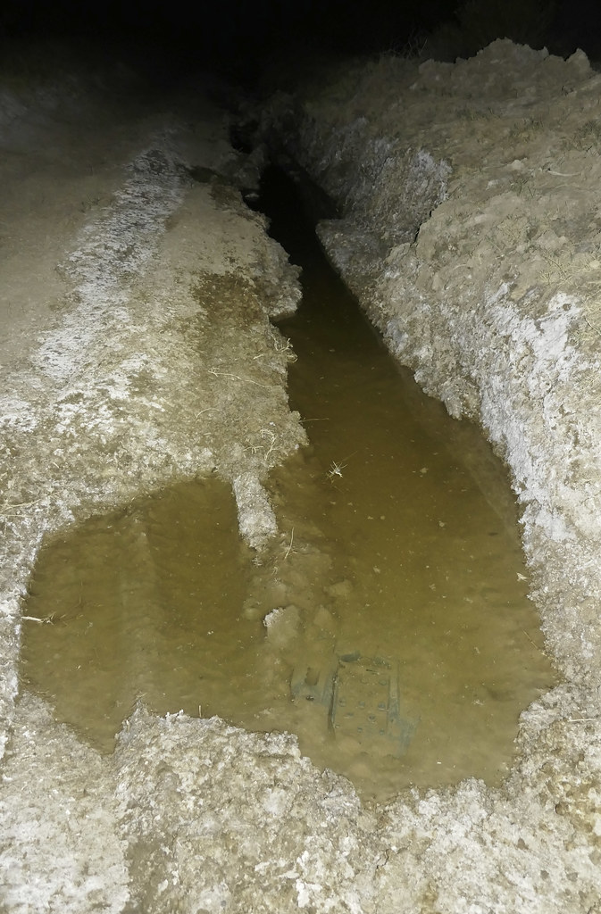 Carrizo Creek by tomteske, on Flickr Carrizo Creek by tomteske, on Flickr
The barrier fence is up but no signage.
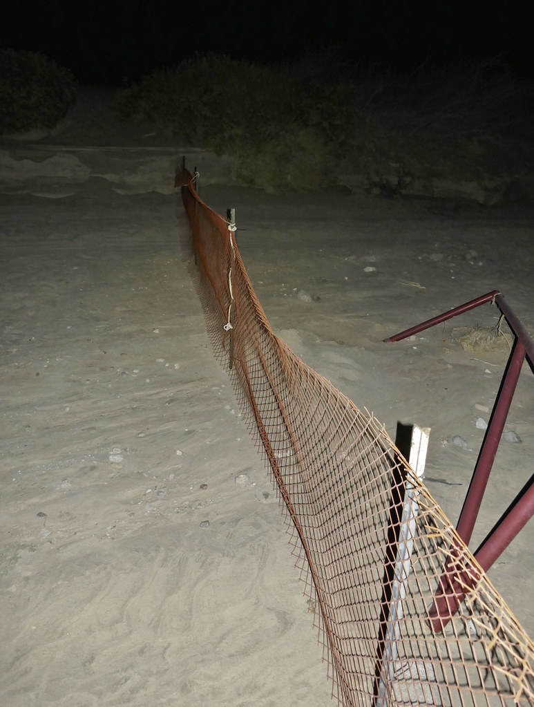 The Fence by tomteske, on Flickr The Fence by tomteske, on Flickr
About 14 miles total and another fun trip in the desert. Enjoy. Tom
edited by tommy750 on 12/29/2017
|