|
tommy750 Posts: 1086
6/26/2012
|
The camp Rick Perry used to visit in Texas is not the only local with a non-PC moniker. Squaw Tit is definitely in the same category and even has infamously made a book title, "From Squaw Tit to Whorehouse Meadow: How Maps Name, Claim, and Inflame" (probably referring to the same peak name in the Phoenix area, but you get the drift). To the southeast is my favorite, a BM right on the Mexican border named "Puto!" Couldn't believe it when I first saw it. Anyway, decided to take a hike over Table Mountain this past Saturday since weather.com promised highs of 82 degrees in Jacumba while the rest of ABDSP was 20 degrees warmer. Well, they lied! Was 92 when I got back to the Tundra and some of the volcanic areas were at least 5-10 degrees hotter. Glad I brought 3 liters and had a nice breeze.
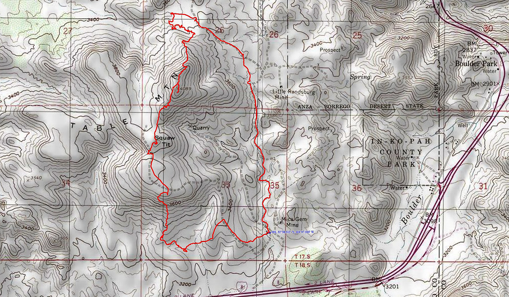
Table Mt GPS by tomteske, on Flickr

Table Mountain by tomteske, on Flickr
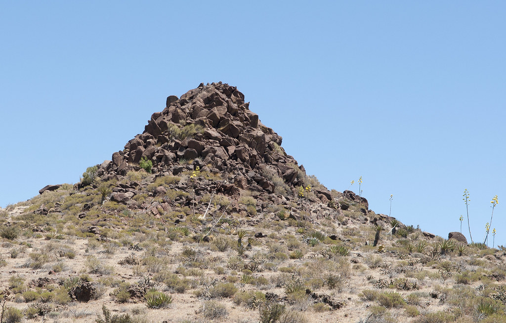
Worked my way over toward a dam-looking structure crossing a stream bed. Actually ended up being a granitic dike but it easily could have been a useful natural feature.
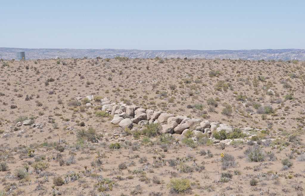
Table Granitic dike by tomteske, on Flickr
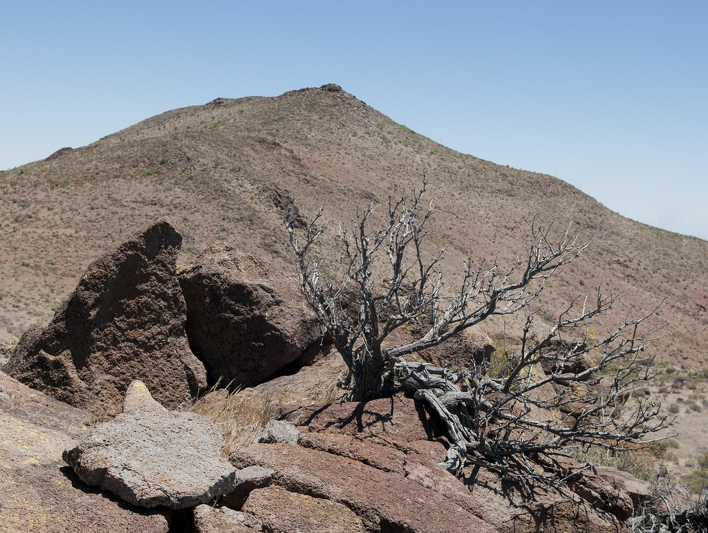
Grey Mountain to the southwest is a granitic remnant of the Peninsular Batholith but Table Mt is a result of later volcanic activity. Round Mountain is the higher peak in the right background and is south of I-8.
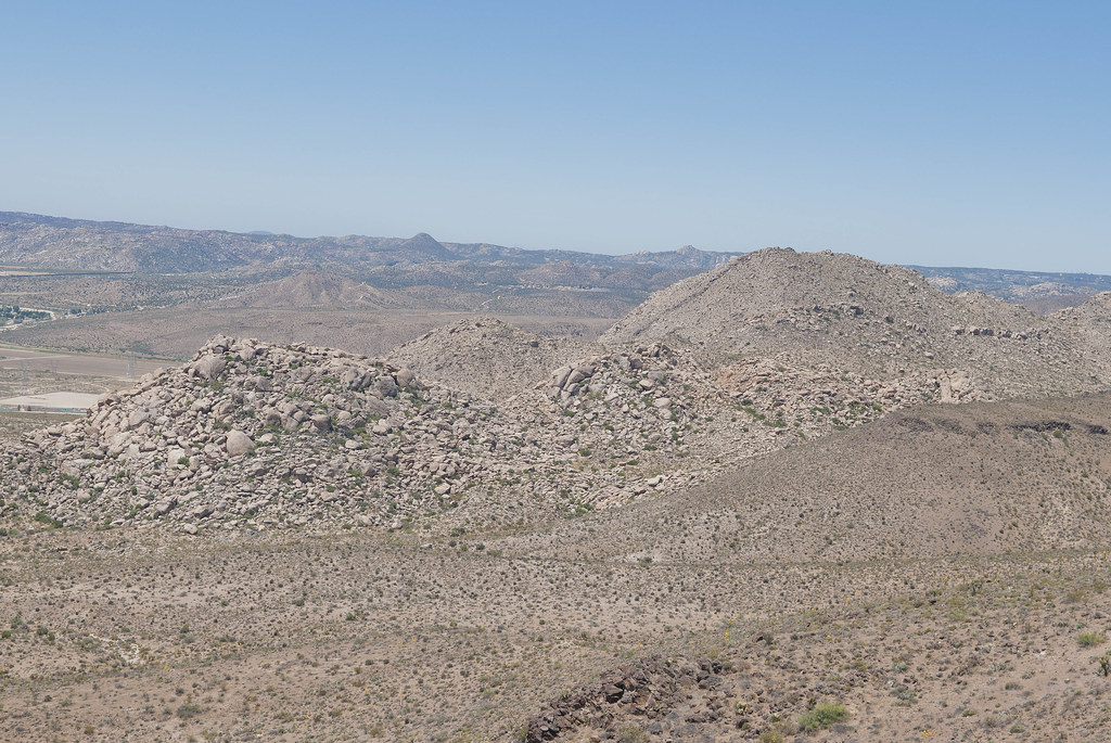
Grey Mountain and Round Mountain by tomteske, on Flickr
After hiking straight up the south side, I crossed over a large open plateau. Was completely alone-except for the three USBP vehicles (one left before the pics) and a half dozen cameras. Asked two young agents if they knew anything about a couple of Indian villiages reportedly on Table Mt. One informed me there were Indians here but they had left a long time ago. Got really disillusioned but decided to head for Squaw Tit.
Squaw Tit by tomteske, on Flickr
The view from Squaw toward south Table Mt and the border fence in the far distance.
From Squaw Tit by tomteske, on Flickr
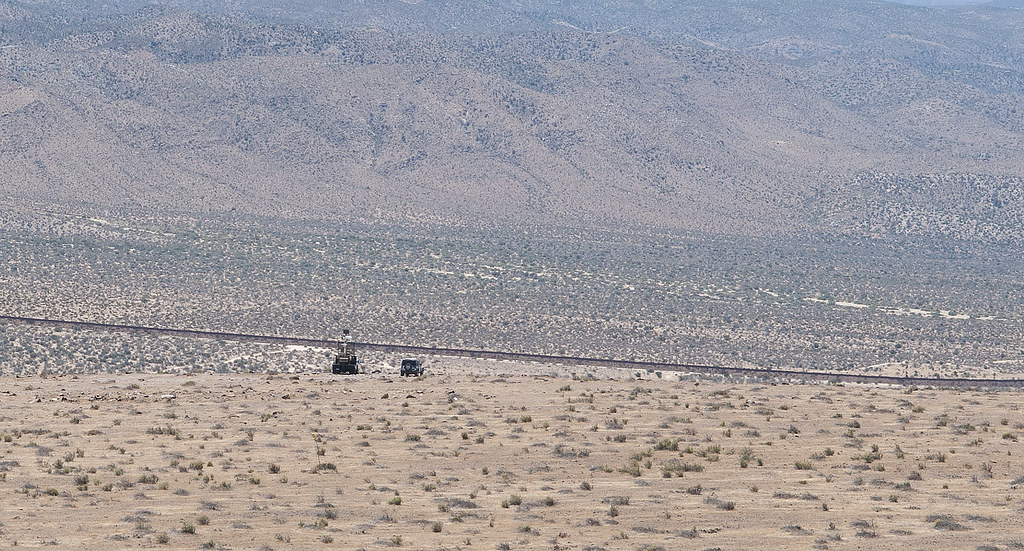
Border Patrol at Table Mt by tomteske, on Flickr
The view from Squaw toward the summit of Table Mt.
Squaw Tit Toward Table Summit by tomteske, on Flickr
The top of east Table Mt toward Squaw.
Toward Squaw Tit by tomteske, on Flickr
The only rock art I encountered was this:
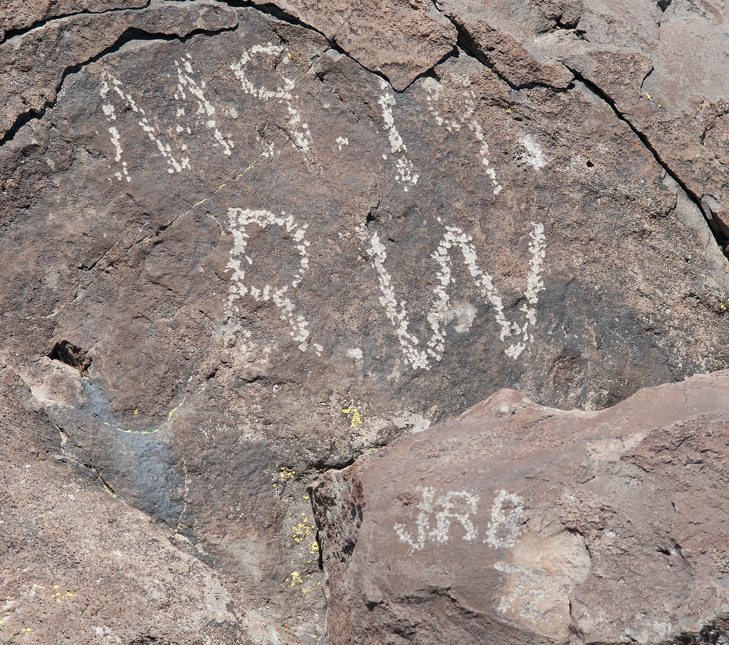
Pecking Style by tomteske, on Flickr
This artifact and the inevitable question were found at the Table Mt summit.
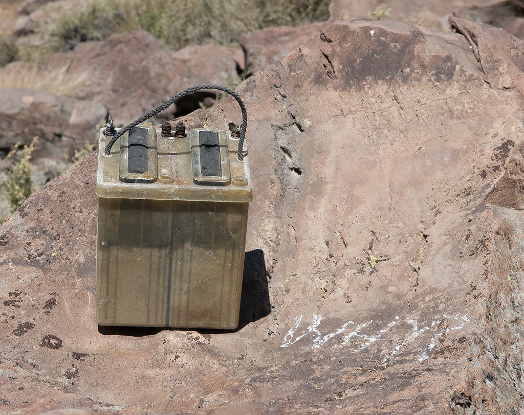
Table Mt Battery by tomteske, on Flickr
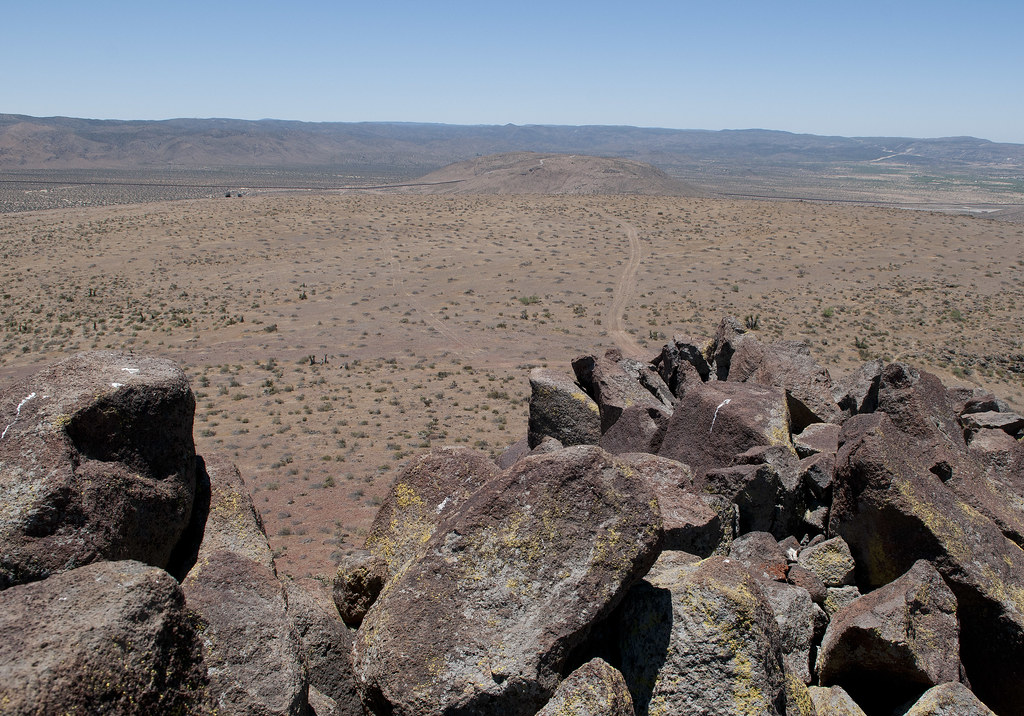
Looking NE from the eastern part of Table, you can see just about everything in ABDSP.
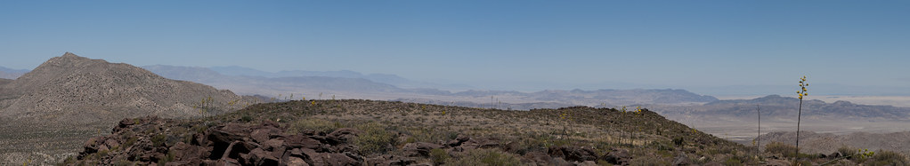
Table Mt Panorama by tomteske, on Flickr
On the southern flank and on the top, tarantula nests were everywhere.
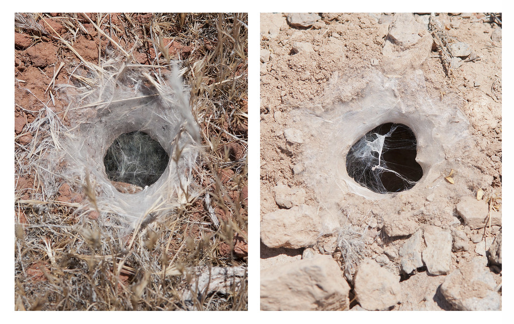
Tarantula Dens by tomteske, on Flickr
Their nemeses, the Tarantula Hawks, were nowhere nearby, either having already completed their deadly missions or completely distracted by mesquite blossoms. Saw 10+ swarming these bushes.
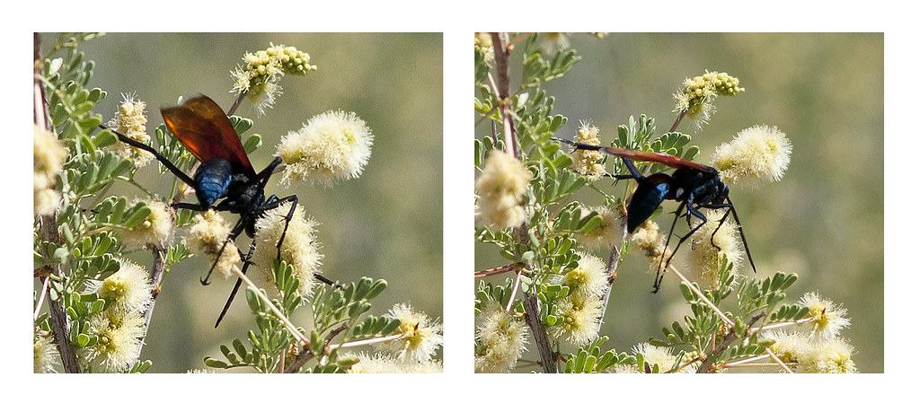
Tarantula Hawks by tomteske, on Flickr
After descending the northern slope, I came across this young desiccated coyote. Looked like it was still running.
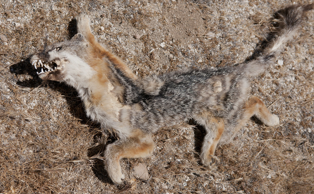
Running Coyote by tomteske, on Flickr
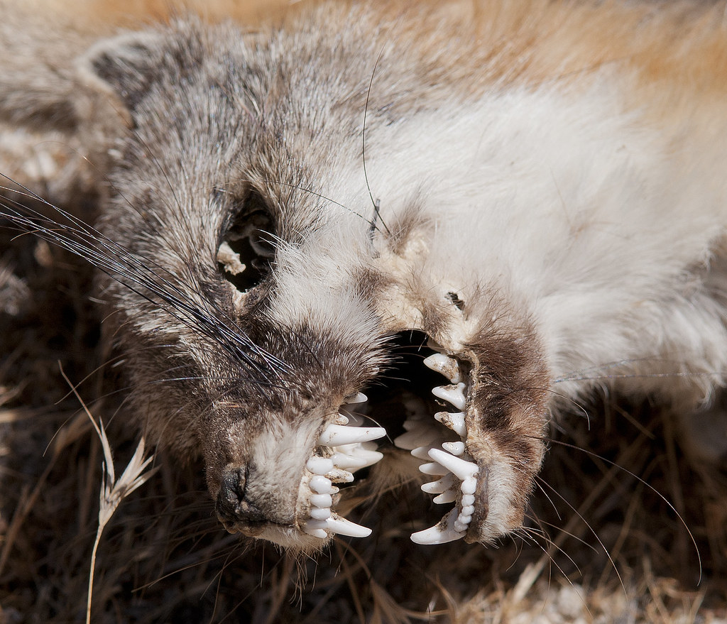
Coyote Mouth by tomteske, on Flickr
No noticeable human foot traffic was present. Did find this faded immigrant cache.
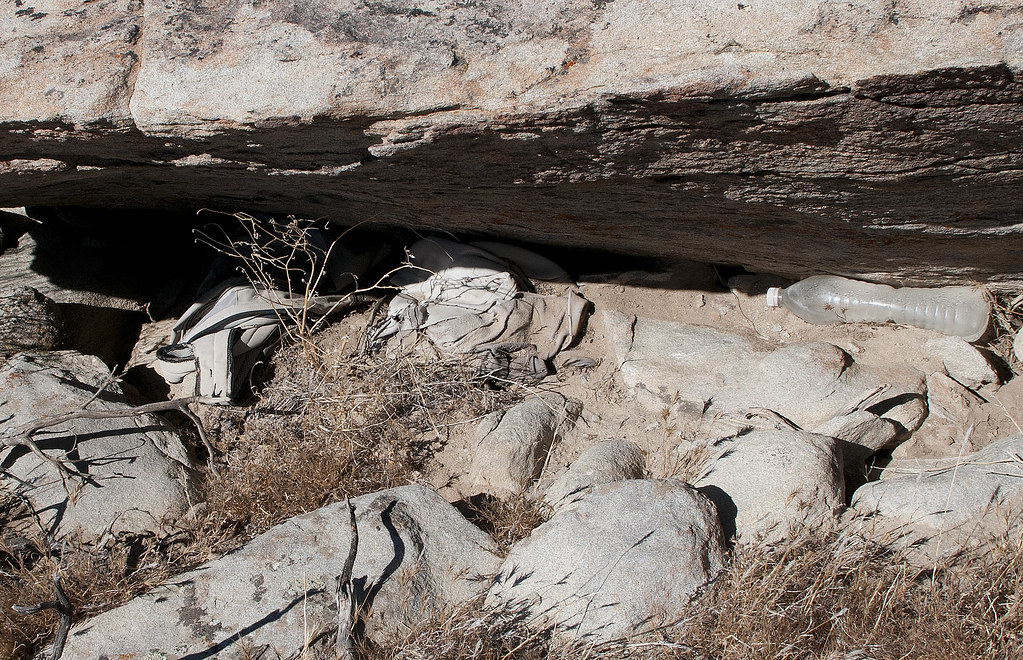
Old Clothing by tomteske, on Flickr
Yet another reason USC deserved those NCAA sanctions.
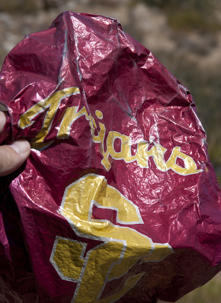
Trojan Mylar by tomteske, on Flickr
Daren mentioned there were "wildlife guzzlers" out here but I had no idea what he was referring to:
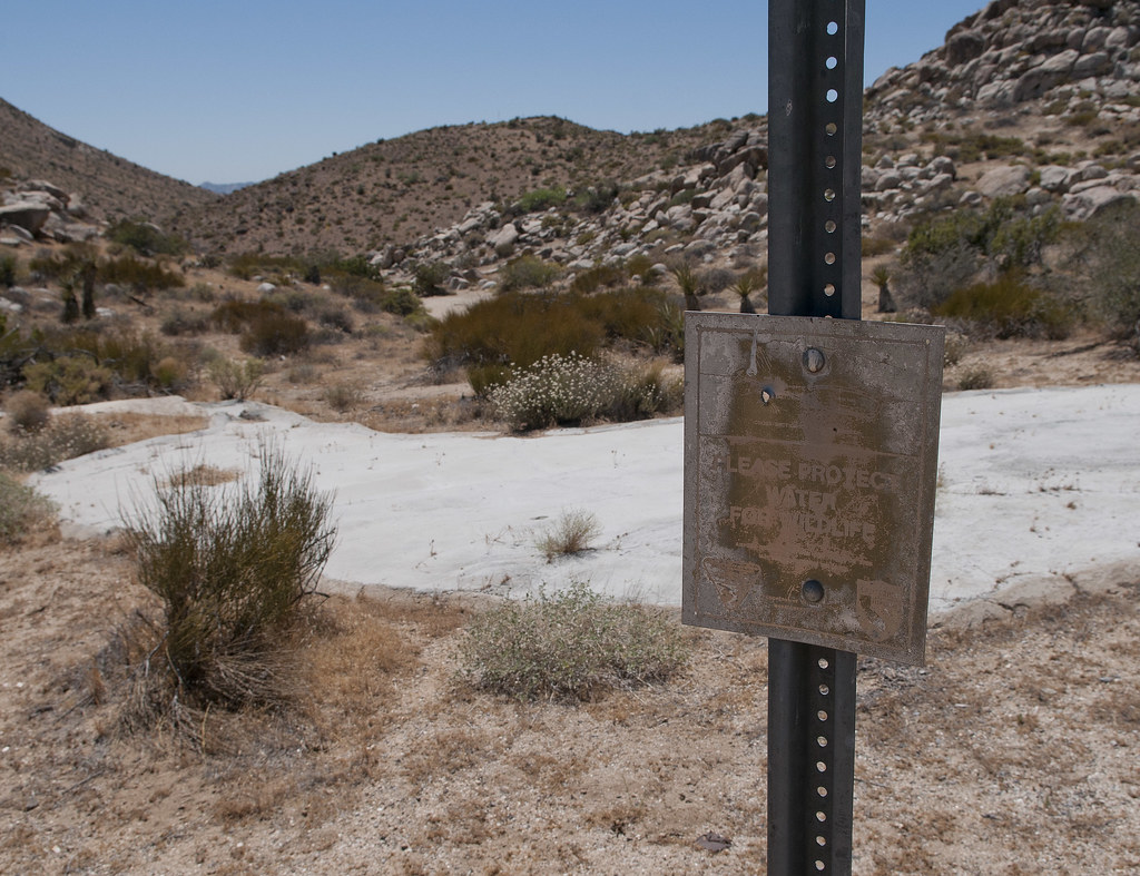
Wildlife Guzzler by tomteske, on Flickr
Apparently water drains off these luxurious patios (visible from outer space) and fill nearby cisterns. Little animals then have extra water. Daren, do these things really work?? Seems a little overkill to me. Tried to find "Post 376" but only located a Troop 376 in nearby Milwaukie, Oregon. Was going to lift the metal plate off the cistern and check out the water level but the heat kinda sapped my curiosity.
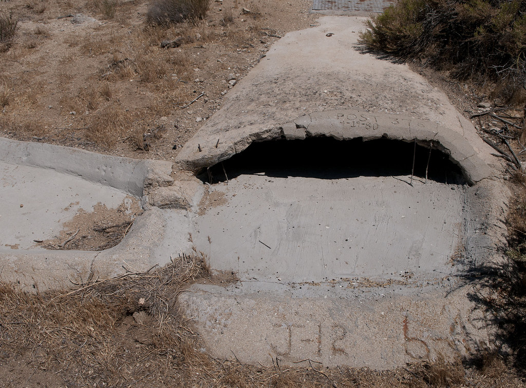
Wildlife Guzzler2 by tomteske, on Flickr
Just feet from the Tundra on the way back was the remnants of an old pickup. What was really weird was finding a wild hive in the nearby half-buried frame!
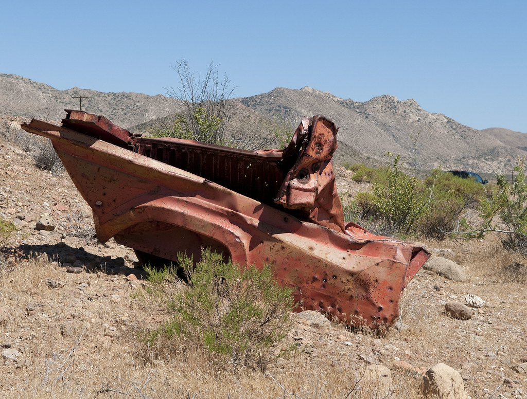
Pick Up by tomteske, on Flickr
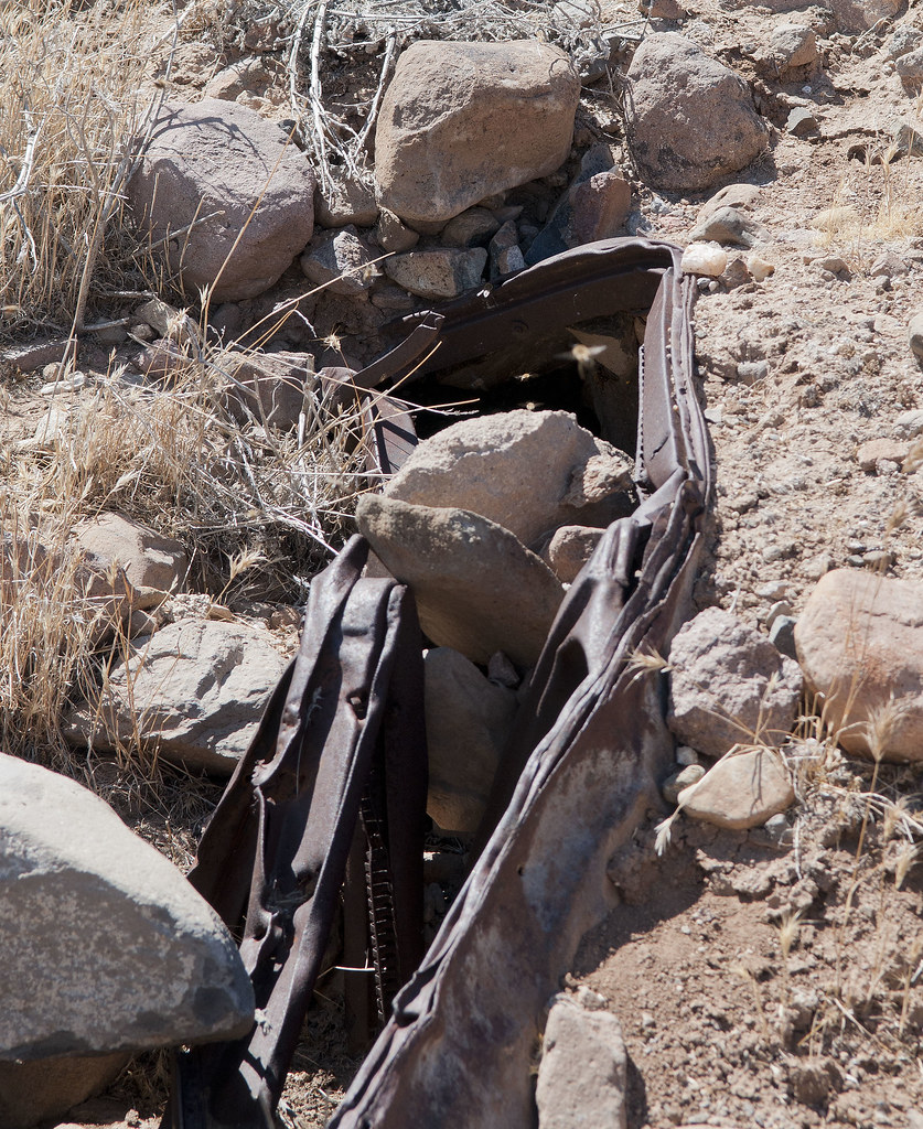
Metal Hive by tomteske, on Flickr
Headed west toward Jacumba and saw the newly-energized Sunrise 500KV lines.
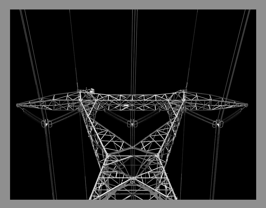
Sunrise Power by tomteske, on Flickr
In closing, here's a pic from last Wednesday leaving Table Mt between the lanes of I-8 looking east.
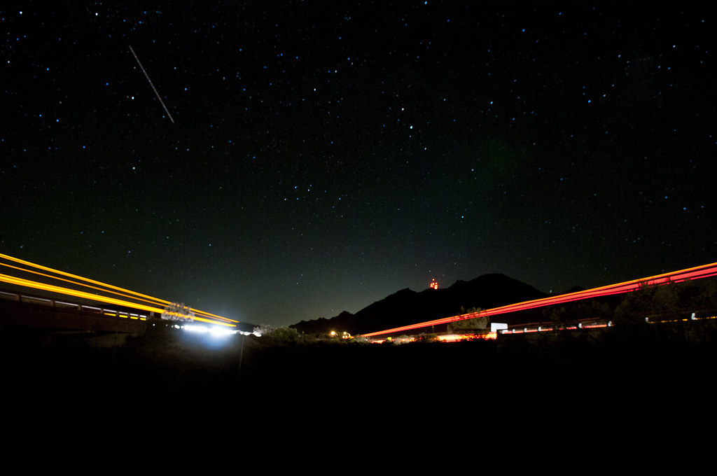
Mica Gem Road and I-8 by tomteske, on Flickr
About six miles hiking and some fun pictures on my way to the coast. Have a great week! Tom
edited by tommy750 on 6/26/2012
edited by tommy750 on 6/26/2012
<em>edited by tommy750 on 6/26/2012</em>
|