|
tommy750 Posts: 1086
5/22/2014
|
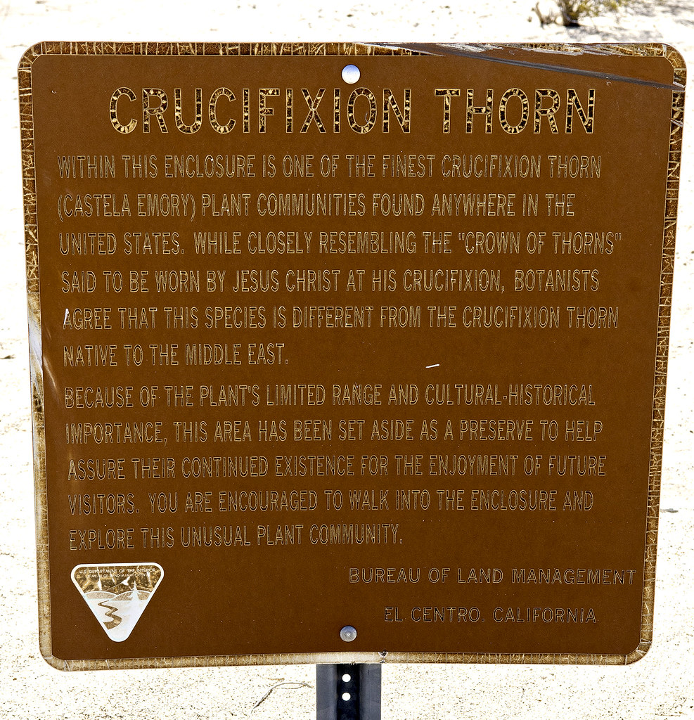
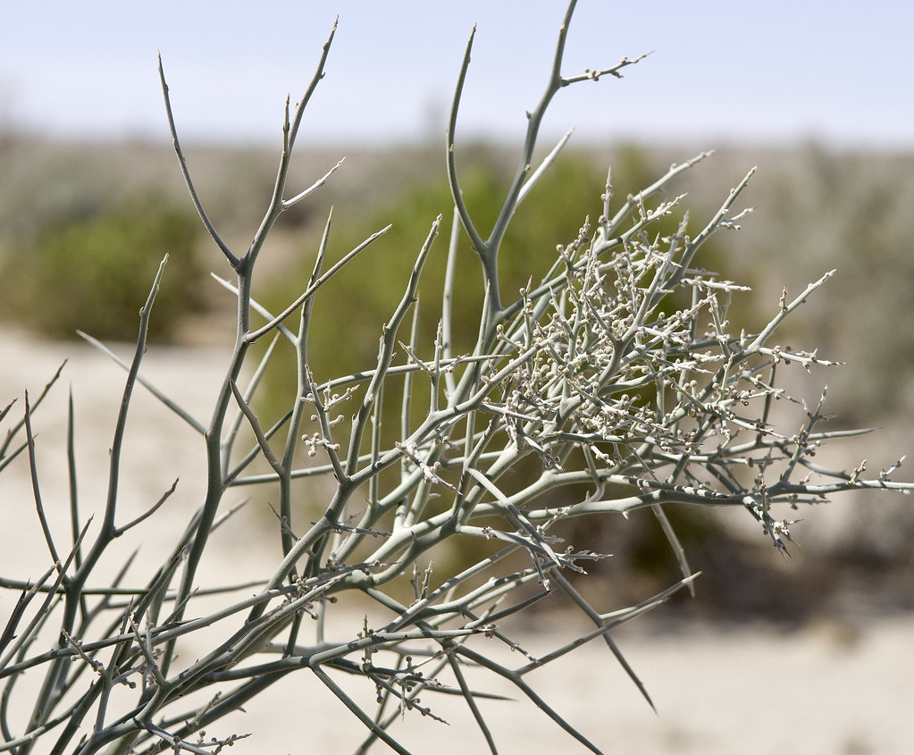
Had the afternoon off so decided to head out with my friend Amy for a drive. We've never been down to the border in the Yuha ACEC so headed out on Hwy 98 to EC 282. A little bit outside the park boundaries but still close enough  Stopped at Crucifixion Thorn, apparently common in AZ and NM but not so in CA. Definitely pokey. Stopped at Crucifixion Thorn, apparently common in AZ and NM but not so in CA. Definitely pokey.
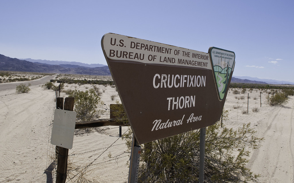 Crucifixion Thorn by tomteske, on Flickr Crucifixion Thorn by tomteske, on Flickr
 Crucifixion Thorn2 by tomteske, on Flickr Crucifixion Thorn2 by tomteske, on Flickr
 Crown of Thorn by tomteske, on Flickr Crown of Thorn by tomteske, on Flickr
The view toward Jacumba Wilderness. Skull Valley is on the other side of the mountain ridge.
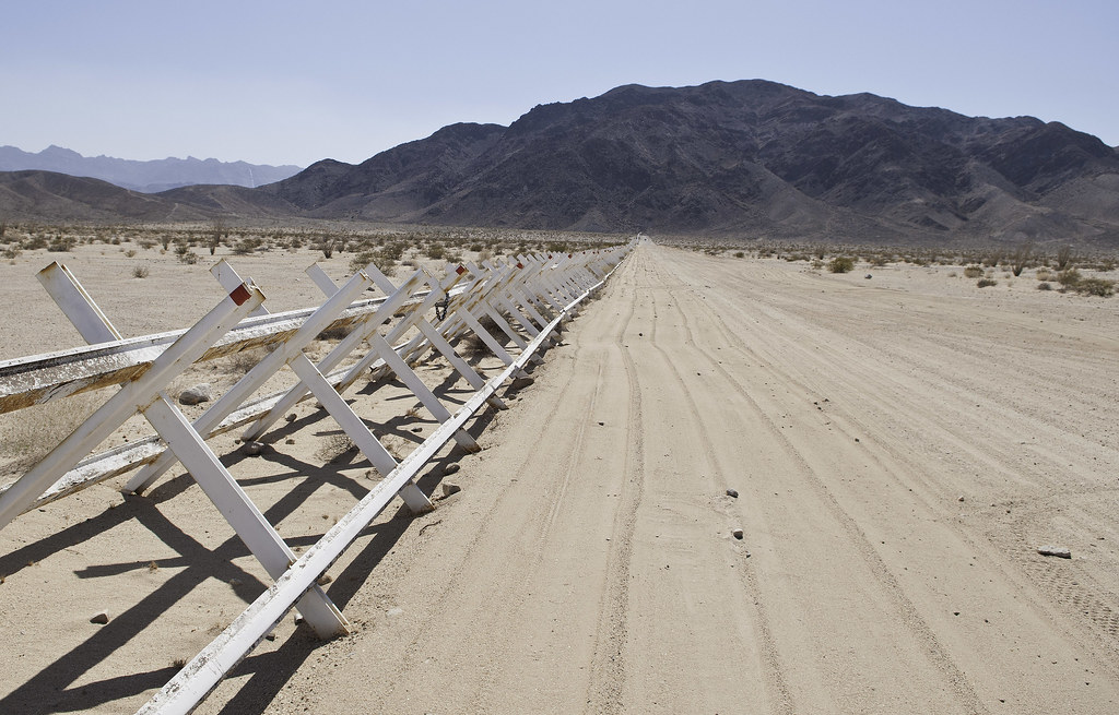 Border by tomteske, on Flickr Border by tomteske, on Flickr
We turned north into Pinto Wash and I quickly noted a raptor nest tucked in the cliff face.
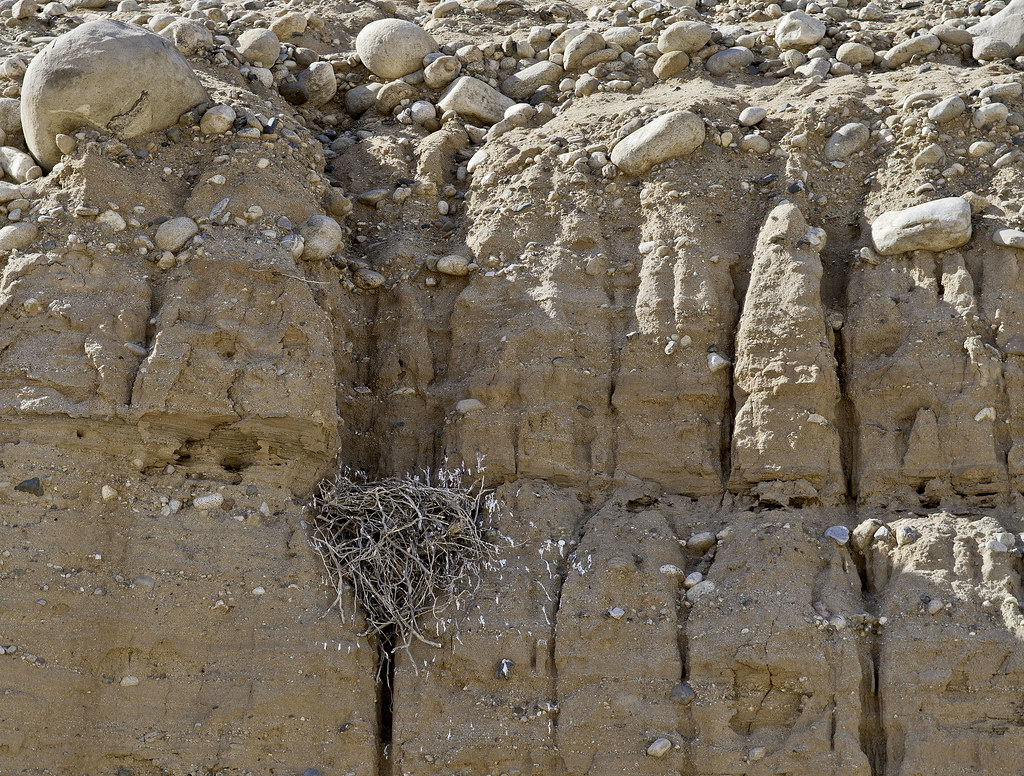 Pinto Raptor Nest by tomteske, on Flickr Pinto Raptor Nest by tomteske, on Flickr
Amy noted another one a couple hundred yards downstream.
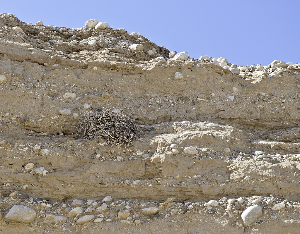 Raptor Nest 2 by tomteske, on Flickr Raptor Nest 2 by tomteske, on Flickr
This one seemed somewhat accessible from above so we climbed out of the wash to see if we could view the nest from above.
Nope!
 Raptor Nest 2 From Above by tomteske, on Flickr Raptor Nest 2 From Above by tomteske, on Flickr
Saw a hawk walking on the desert floor but by the time I could grab my camera, he'd flown off.
 Pinto Raptor by tomteske, on Flickr Pinto Raptor by tomteske, on Flickr
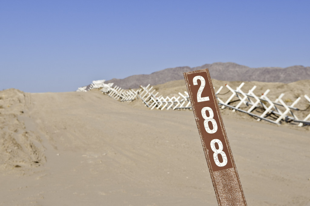
Came across boundary marker 228. Number 1 is near El Paso, TX and is the start of the land border with Mexico, the Rio Grande being the border further SE to the Gulf. Some may have visited 231 near Blue Angels Peak. Now might be a good time to recommend Rachel St. John's great book on the US Mexico border entitled, "Line in the Sand, A History of the Western U.S.-Mexico Border."
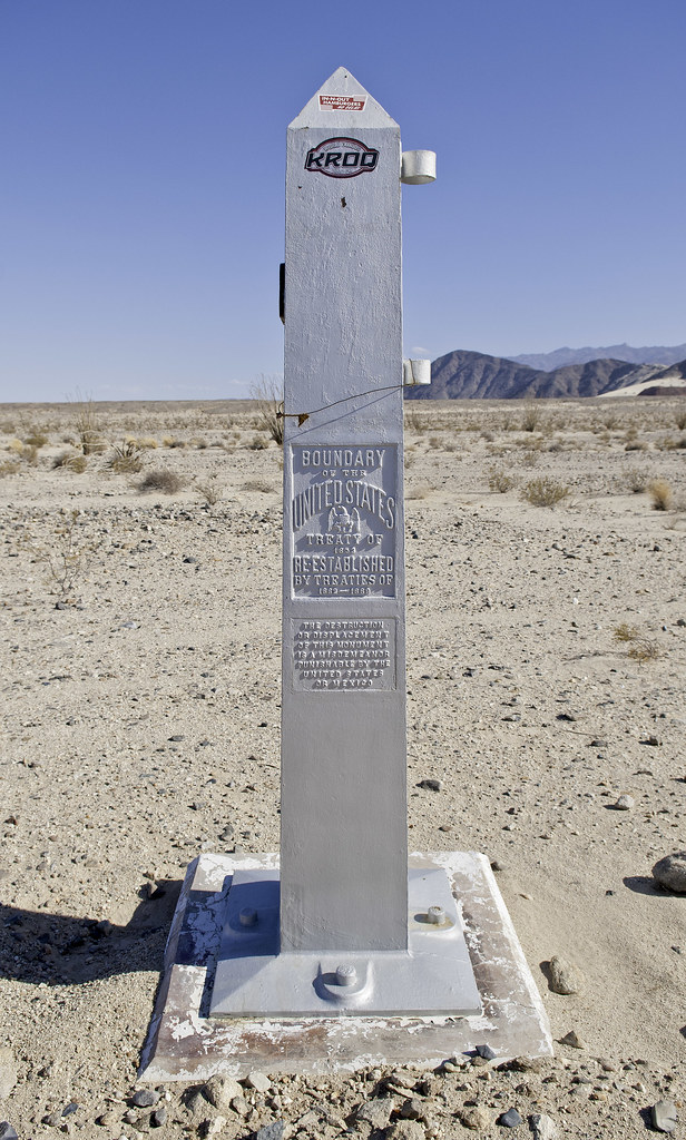 228 by tomteske, on Flickr 228 by tomteske, on Flickr
Here's 227 from the Mexican side:
 227 by tomteske, on Flickr 227 by tomteske, on Flickr
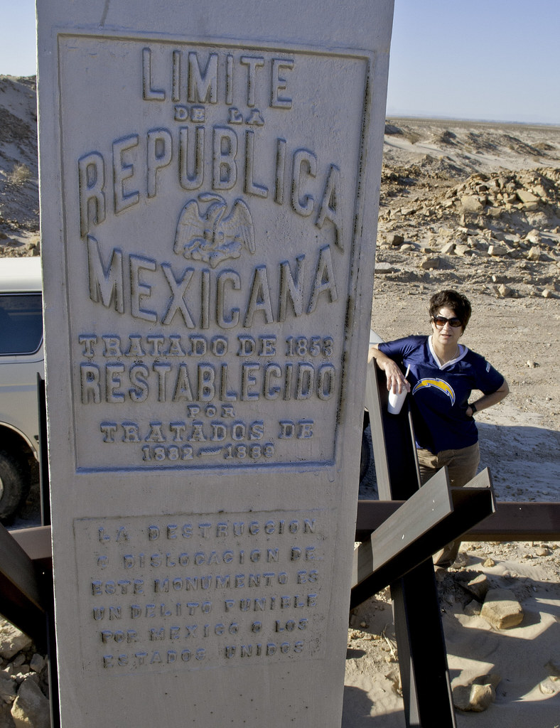 Limite de La Republica by tomteske, on Flickr Limite de La Republica by tomteske, on Flickr
Lots of signage regarding the trek ahead:
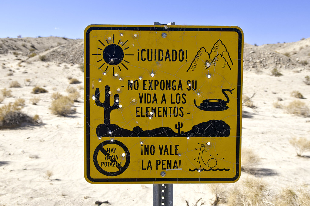 Cuidado by tomteske, on Flickr Cuidado by tomteske, on Flickr
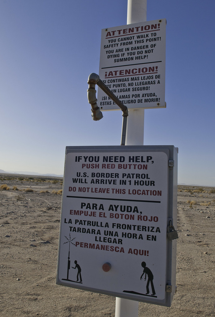 Para Ayuda by tomteske, on Flickr Para Ayuda by tomteske, on Flickr
British Petroleum?
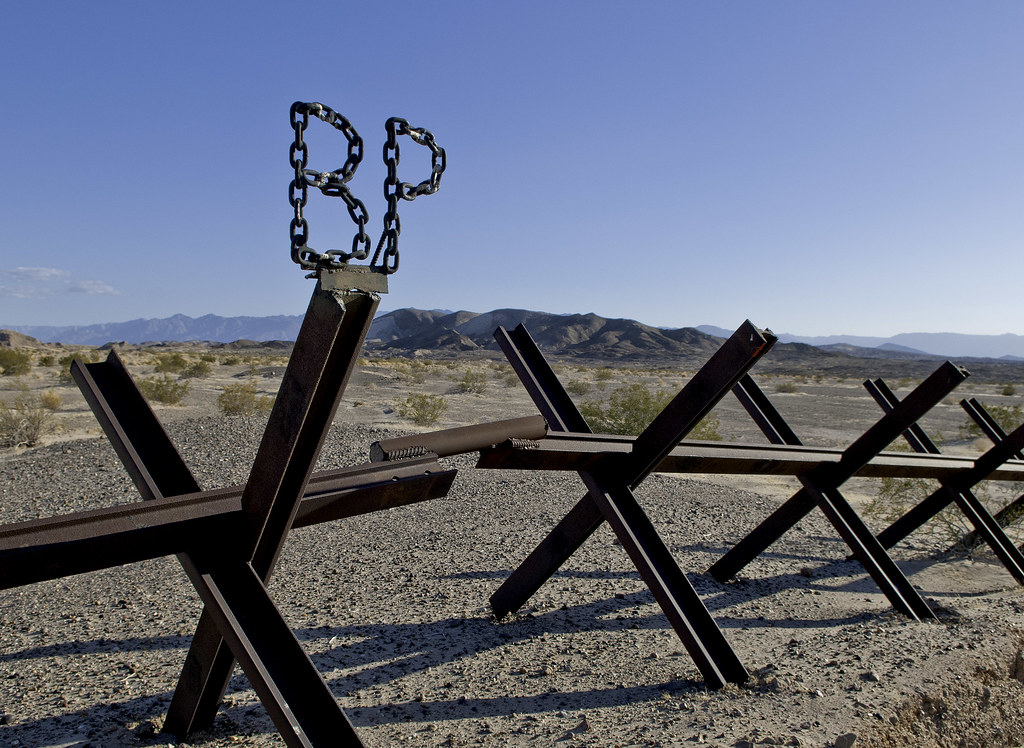 BP by tomteske, on Flickr BP by tomteske, on Flickr
We were stopped four times but always apologetically by the local BP agents because "the cameras were going crazy." Few random shots at the fence.
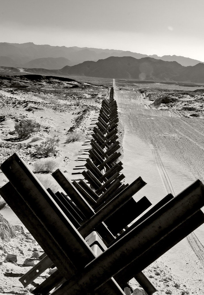 La Frontera by tomteske, on Flickr La Frontera by tomteske, on Flickr
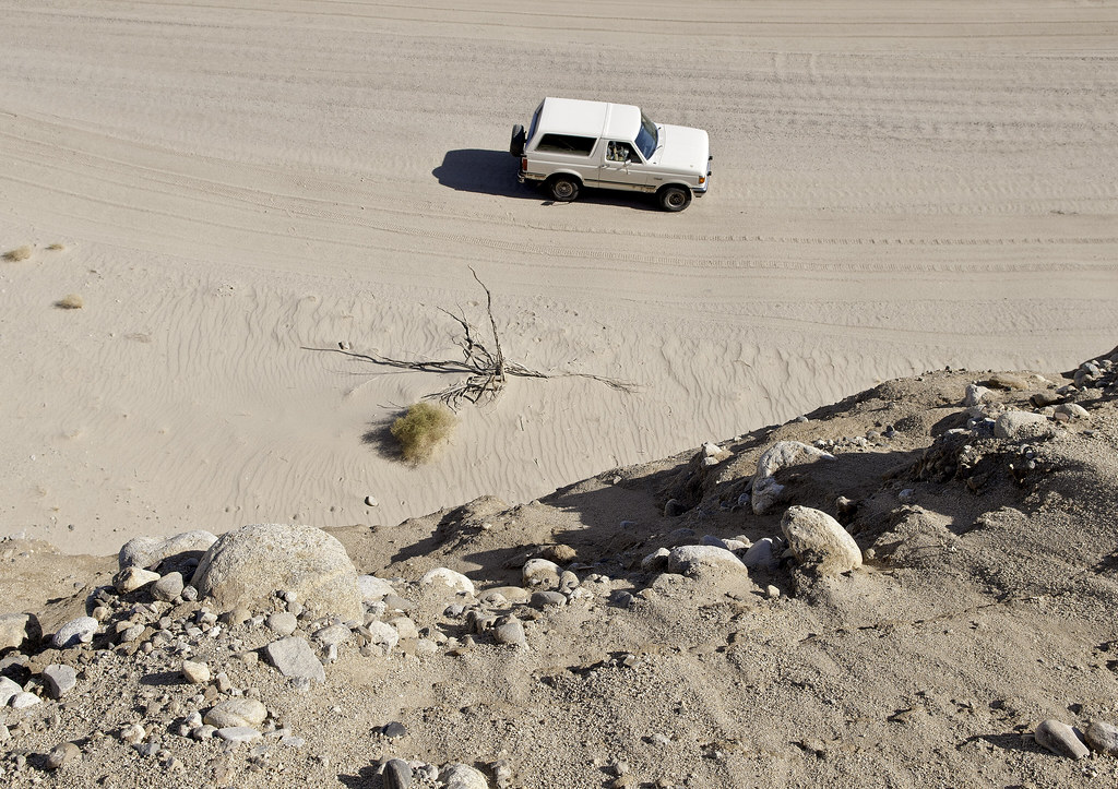
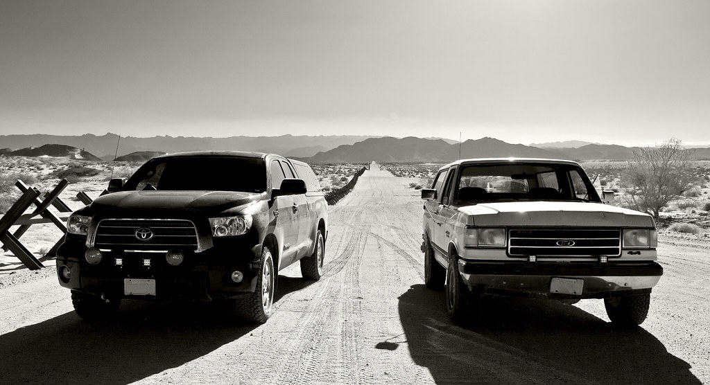 Tundra and Bronco by tomteske, on Flickr Tundra and Bronco by tomteske, on Flickr
 EC 288 by tomteske, on Flickr EC 288 by tomteske, on Flickr
Headed NW into the Yuha Desert on EC358 and immediately got stuck because I forgot to turn on the 4WD. A lttle shovel work and I was on my way.
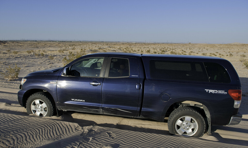 Stuck Tundra by tomteske, on Flickr Stuck Tundra by tomteske, on Flickr
Passed by a couple solar plants at the start of our trip. Here's where the energy ends up, in the Yuha ACEC, on its way West.
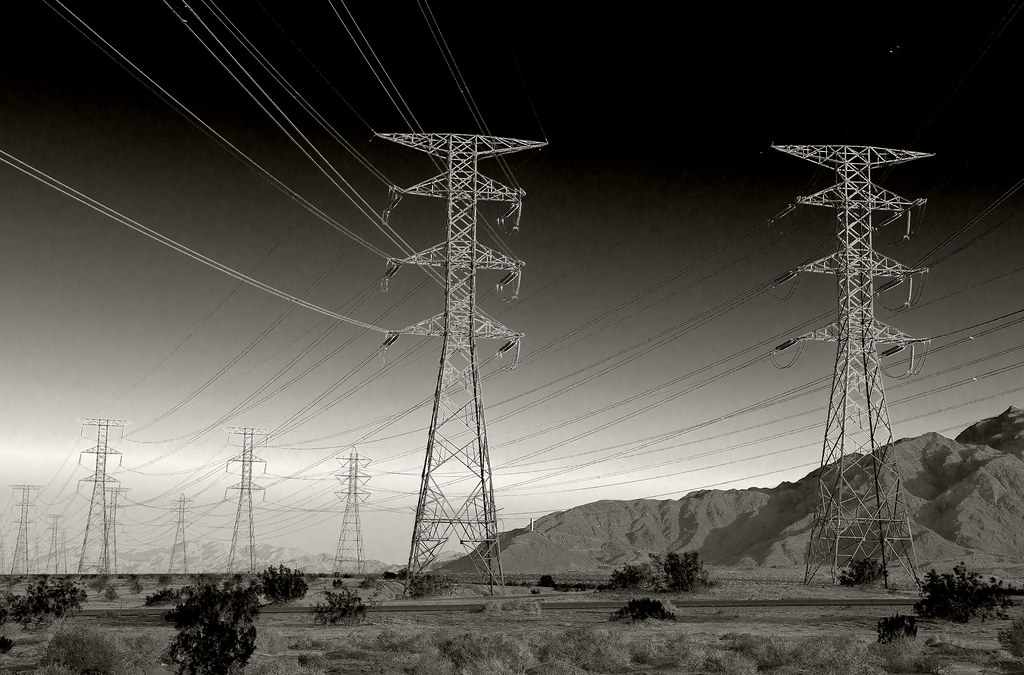 Yuha Vista by tomteske, on Flickr Yuha Vista by tomteske, on Flickr
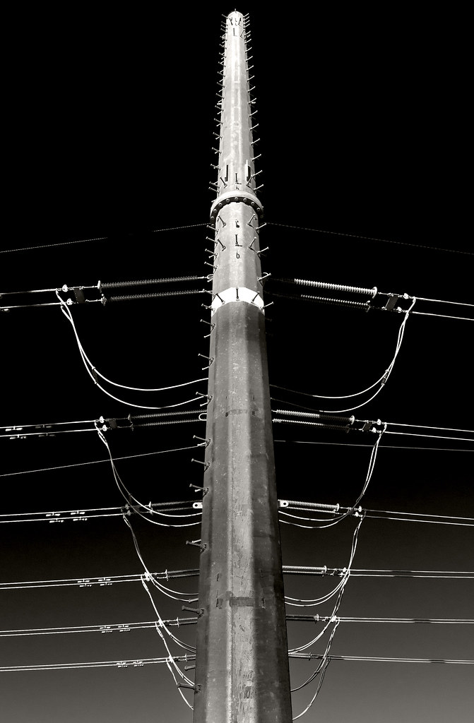
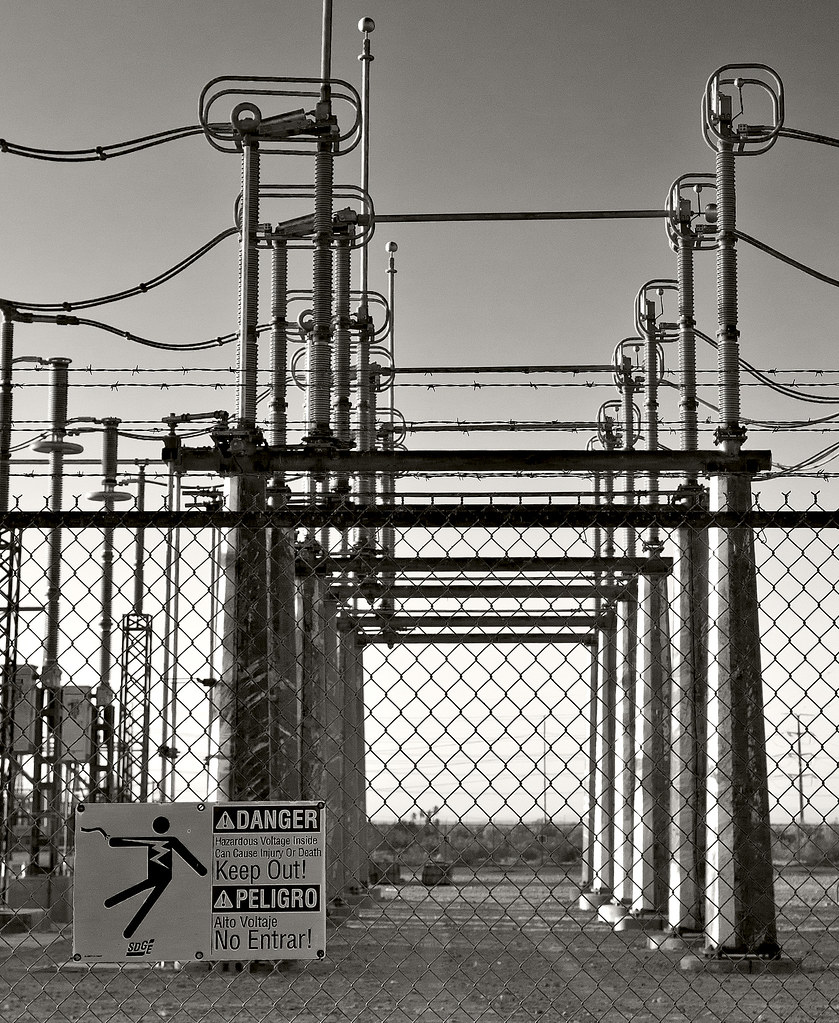 Yuha Power by tomteske, on Flickr Yuha Power by tomteske, on Flickr
 Yuha Totem by tomteske, on Flickr Yuha Totem by tomteske, on Flickr
Another quick trip out to the Colorado Desert and a great way to spend an afternoon, Enjoy. Tom
|
|
|
+1
link
|
|
dsefcik Administrator Posts: 2634
5/22/2014
|
Looks like fun, I like how you managed to get a picture of the boundary marker on the Mexican side without crossing into Mexico...
--
http://www.sefcik.com
http://www.darensefcik.com
http://www.carrizogorge.com
|
|
|
link
|
|
Florian Posts: 129
5/22/2014
|
Neat photos. Thanks for sharing.
-Florian
|
|
|
link
|
|
ziphius Posts: 911
5/22/2014
|
Enjoyed the photos Tom. I didn't realize the border 'fence' looked like that out there. Somebody obviously crossed the border though...
--
http://www.coyotelearning.org
|
|
|
link
|
|
tommy750 Posts: 1086
5/22/2014
|
dsefcik wrote:
Looks like fun, I like how you managed to get a picture of the boundary marker on the Mexican side without crossing into Mexico...
Long arms! BP said they didn't really care if we walked around the markers and took pics. Tom
|
|
|
link
|
|
tommy750 Posts: 1086
5/22/2014
|
Jim (ziphius) wrote:
Enjoyed the photos Tom. I didn't realize the border 'fence' looked like that out there. Somebody obviously crossed the border though...
Yeah, it's quite variable in the few locations I've visited. The section near Jacumba looks like a fairly impassible barrier fence. Up above In-Ko-Pah, there's a few strands of wire or nothing at all. Further west in Pinto Canyon where you can drive on a road from Mexico all the way up Davies Valley, nothing. Tom
|
|
|
link
|
|
tommy750 Posts: 1086
5/22/2014
|
Florian wrote:
Neat photos. Thanks for sharing.
-Florian
Thanks for the upvote, Florian. Always fun seeing all the pics everyone posts.
|
|
|
link
|
|
surfponto Administrator Posts: 1369
5/28/2014
|
Man that looks like an awesome area !!
So the BP didn't hassle you for crossing over the border to take pics?
think that area is on my trip list.
Thanks for posting that.
Bob
--
https://www.anzaborrego.net/


|
|
|
link
|
|
tommy750 Posts: 1086
5/28/2014
|
surfponto wrote:
So the BP didn't hassle you for crossing over the border to take pics?
Bob
I asked the first agent who stopped us if we could jump the vehicle barrier and take photos of the markers and he said it would be fine. Definitely worth a detour to the area your next trip out, Bob.
|
|
|
link
|