Talk about a trip you took out to Anza Borrego
Martinez and Agua Alta Canyons Backpack
|
tommy750 Posts: 1086
11/29/2015
|
Was able to accompany Daren, Gary and Joel on a four day backpack loop through Martinez and Agua Alta Canyons before Thanksgiving. Met up at the mouth of Martinez Canyon Saturday afternoon which is somewhat of a challenge just getting to because of blocked access roads.
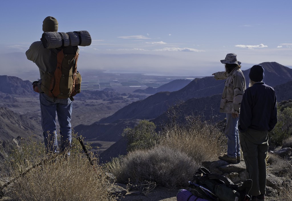
Heading out Sunday morning.
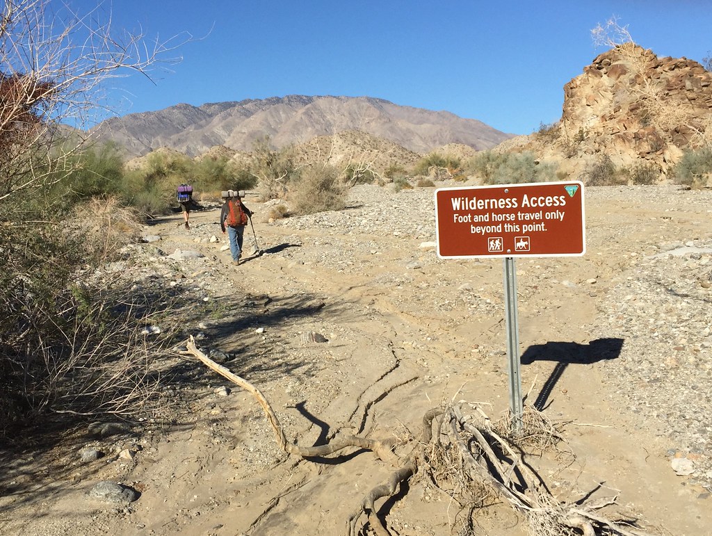 IMG_0955 by tomteske, on Flickr IMG_0955 by tomteske, on Flickr
A few miles up the trail, Daren spotted seven sheep clustered together on the side of the canyon. We watched them for about fifteen minutes and they barely moved. One has a blue collar.
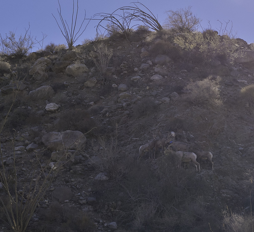 Seven Sheep by tomteske, on Flickr Seven Sheep by tomteske, on Flickr
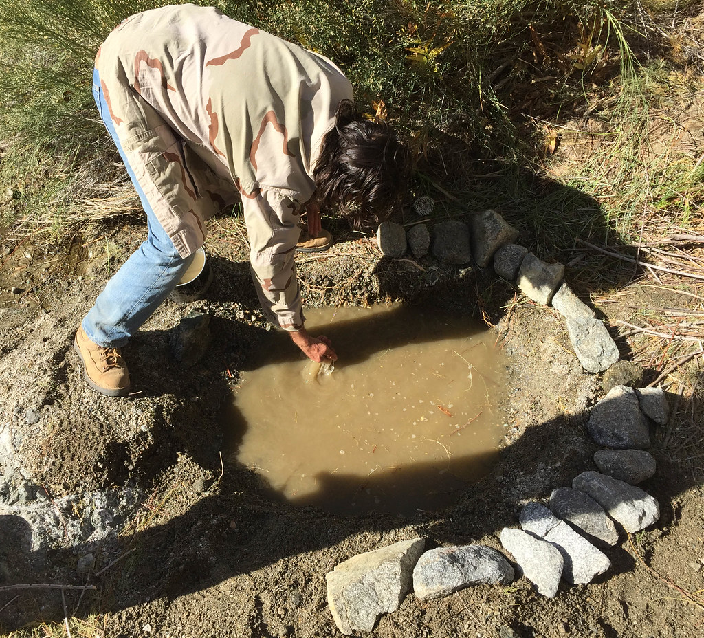
Spent the night at the mouth of Taquitz Canyon where the Cactus Spring Trails climbs out of Martinez Canyon. There's a nearby spring that amazingly had a little water. We cleaned it out somewhat the next morning before moving on to the most reliable source at The Narrows. Unfortunately, obtaining water there consisted of picking the least putrid green pool and hoping your filter did the rest. Here's Daren enjoying some after throwing in a few Iodide tablets for good measure.
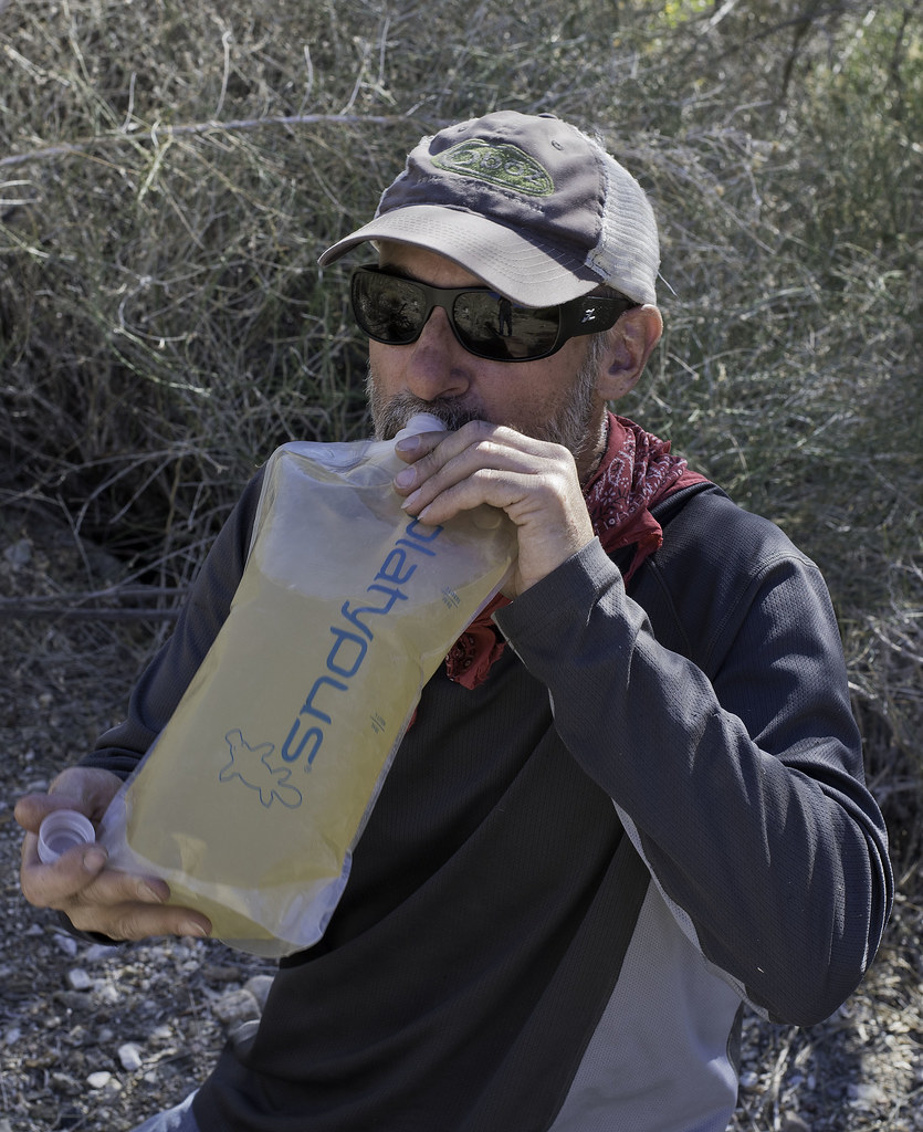 Water by tomteske, on Flickr Water by tomteske, on Flickr
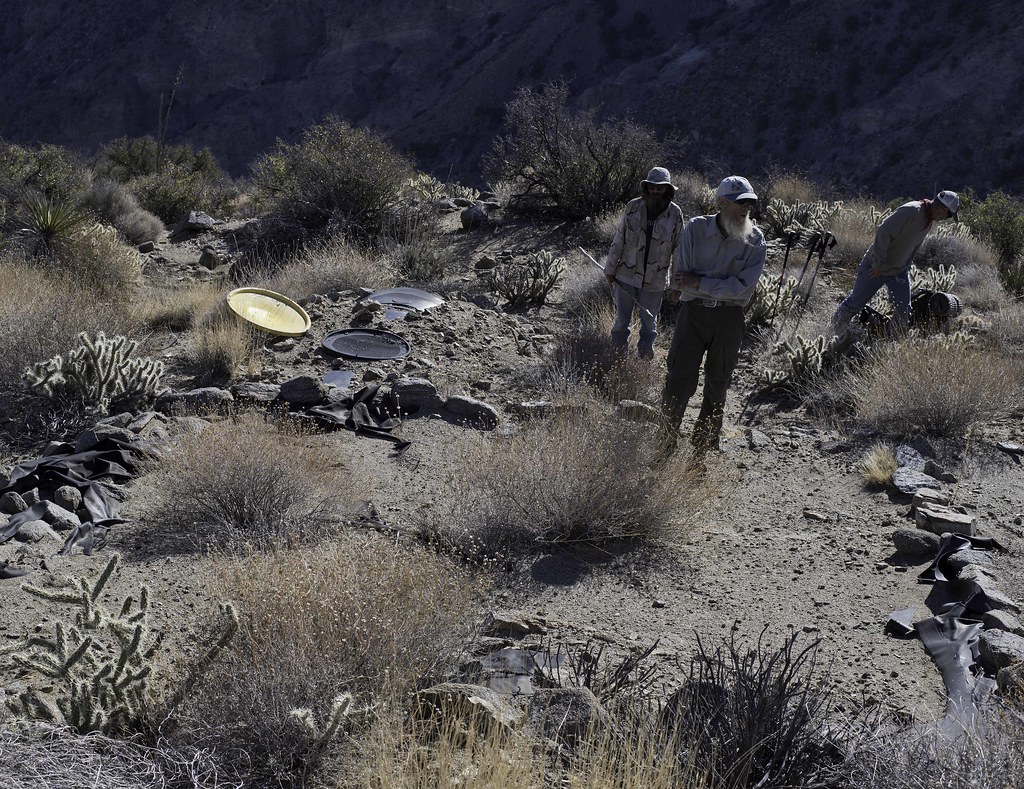
Spent the night at Jack Miller Cabin, a old miner's dwelling from early last century. Apparently he accidentally built it on BLM land and now belongs to the govt.
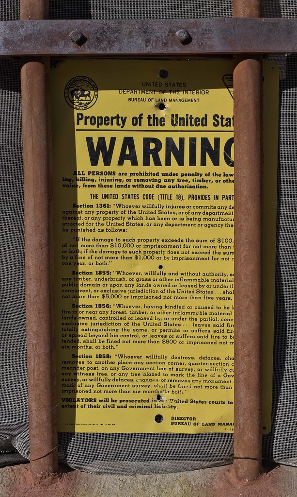 Property of the United States by tomteske, on Flickr Property of the United States by tomteske, on Flickr
 Old Glory by tomteske, on Flickr Old Glory by tomteske, on Flickr
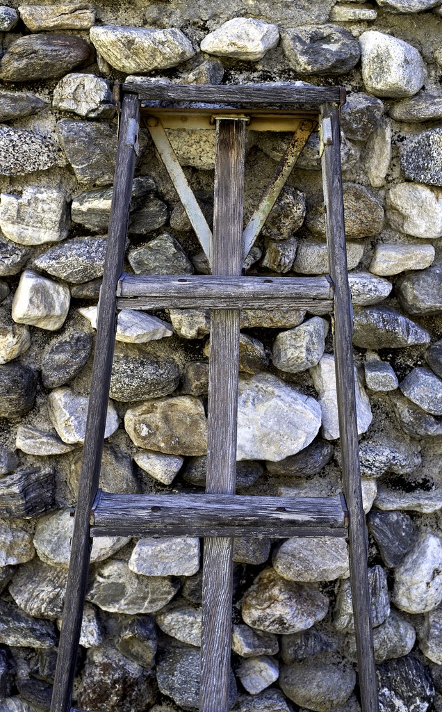 Ladder by tomteske, on Flickr Ladder by tomteske, on Flickr
We did some exploring upstream from the cabin. A dead Red Tailed Hawk and a few frogs.
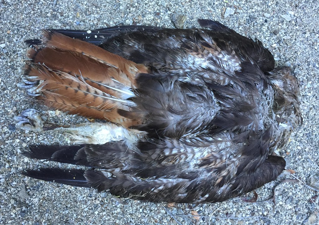 Jack Miller Redtail by tomteske, on Flickr Jack Miller Redtail by tomteske, on Flickr
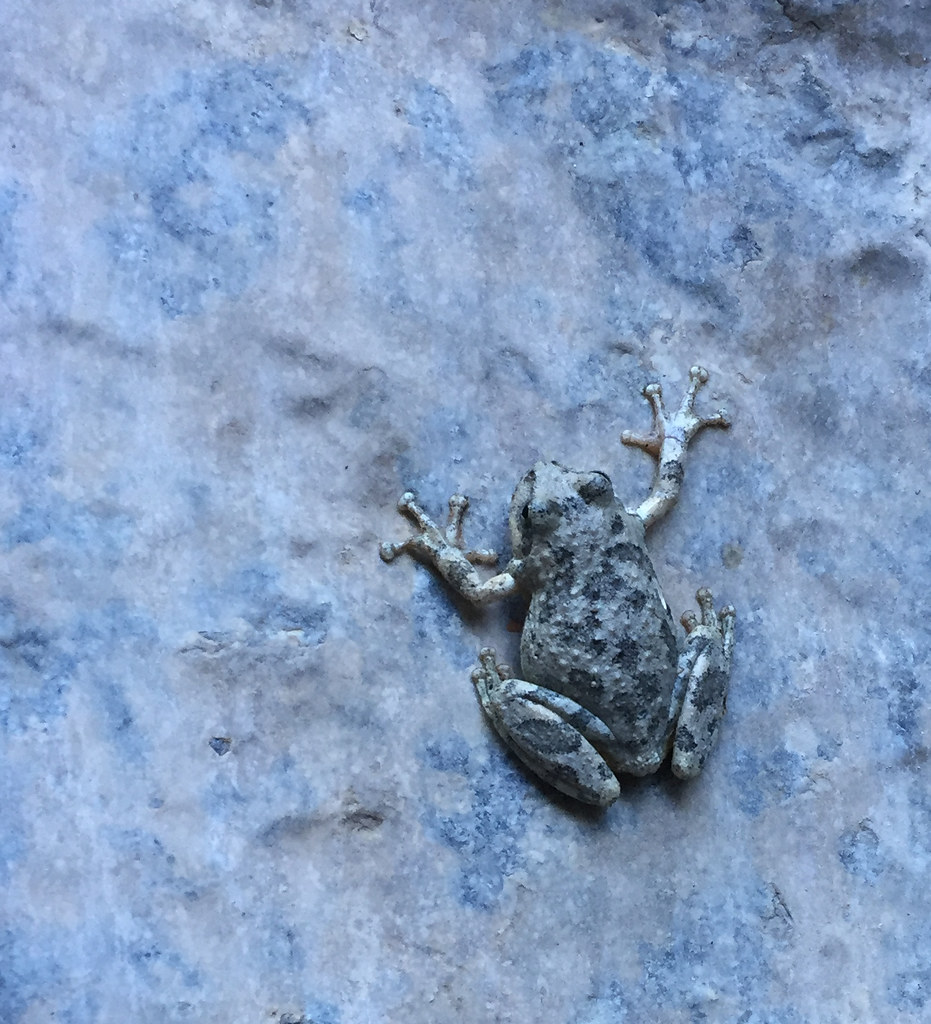 Jack Miller Frog by tomteske, on Flickr Jack Miller Frog by tomteske, on Flickr
The cabin the next morning.
 Jack Miller by tomteske, on Flickr Jack Miller by tomteske, on Flickr
We headed back downstream to catch the Cactus Spring trail up to Agua Alta Spring and then over to Agua Alta Canyon. First, we stopped and filled up at the spring in Taquitz.
Here's Gary doing a little "spring cleaning" after we filled our containers.
 Taquitz Canyon Spring by tomteske, on Flickr Taquitz Canyon Spring by tomteske, on Flickr
A large tamarisk tree was choking the spring and was given a little encouragement to just die but apparently they're rather immortal.
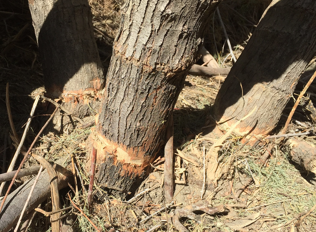 Tamarisk Trim by tomteske, on Flickr Tamarisk Trim by tomteske, on Flickr
The Cactus Spring Trail on the east side was not well worn at all and barely looked like it had had any recent use. Here's the view south toward the ridge with the old Indian trail heading out of Martinez to Rockhouse Canyon.
 Ridge To Rockhouse by tomteske, on Flickr Ridge To Rockhouse by tomteske, on Flickr
The sign before the trail makes it's steep descent into Martinez.
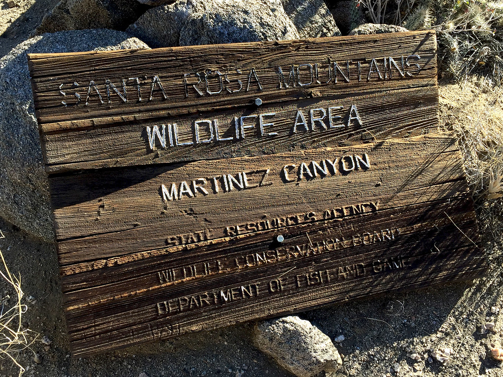 Santa Rosa Sign by tomteske, on Flickr Santa Rosa Sign by tomteske, on Flickr
We decided to camp just shy of Agua Alta spring on a nice sandy saddle that must have been an old inhabitation site. We hiked over to the spring and found the old water tank badly overgrown but containing some water. Daren did more "spring cleaning" but looks like a lot more work would be needed to get functional again.
 Agua Alta Spring by tomteske, on Flickr Agua Alta Spring by tomteske, on Flickr
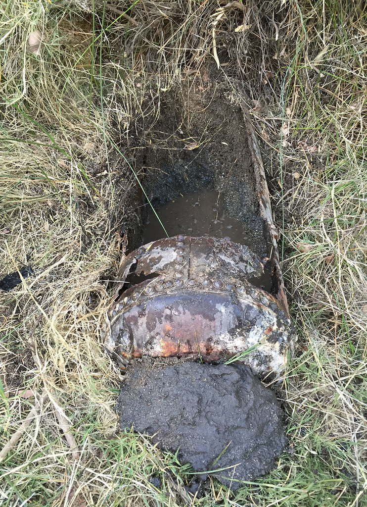 Agua Alta Spring Cleaning by tomteske, on Flickr Agua Alta Spring Cleaning by tomteske, on Flickr
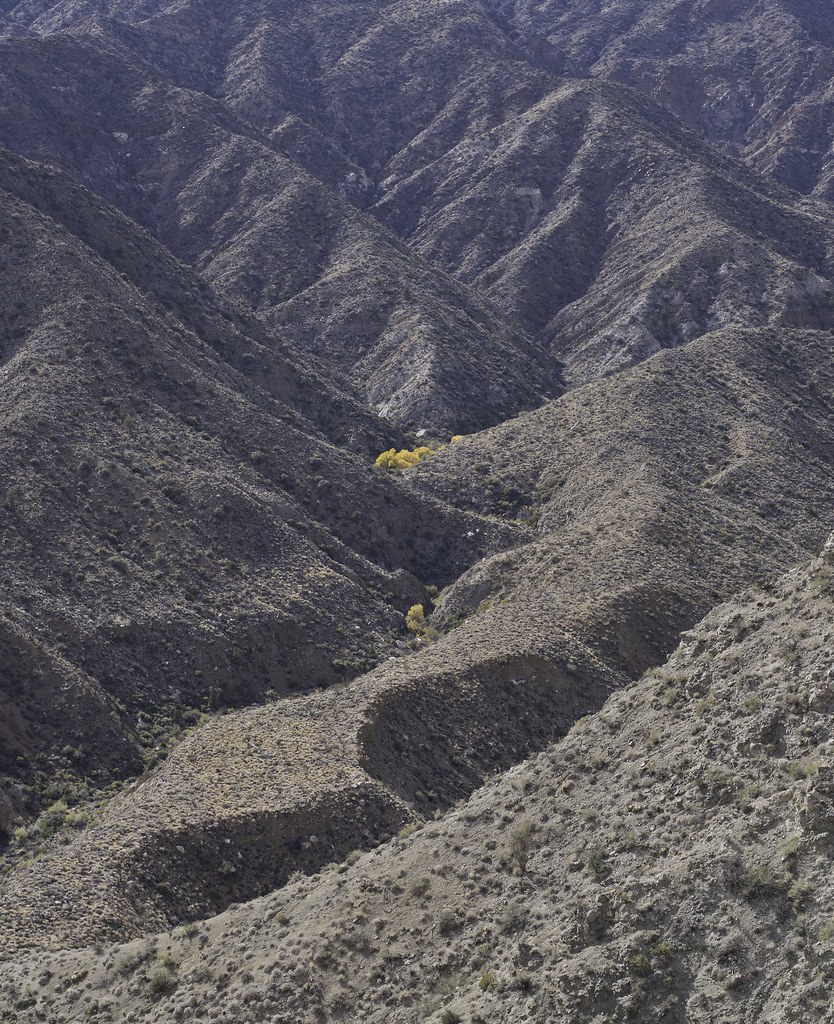
The next day we descended into Agua Alta Canyon on an old essentially nonexistent Indian trail Daren noted on an old topo. Only about 3,000 ft left to descend.
 Above Agua Alta Canyon by tomteske, on Flickr Above Agua Alta Canyon by tomteske, on Flickr
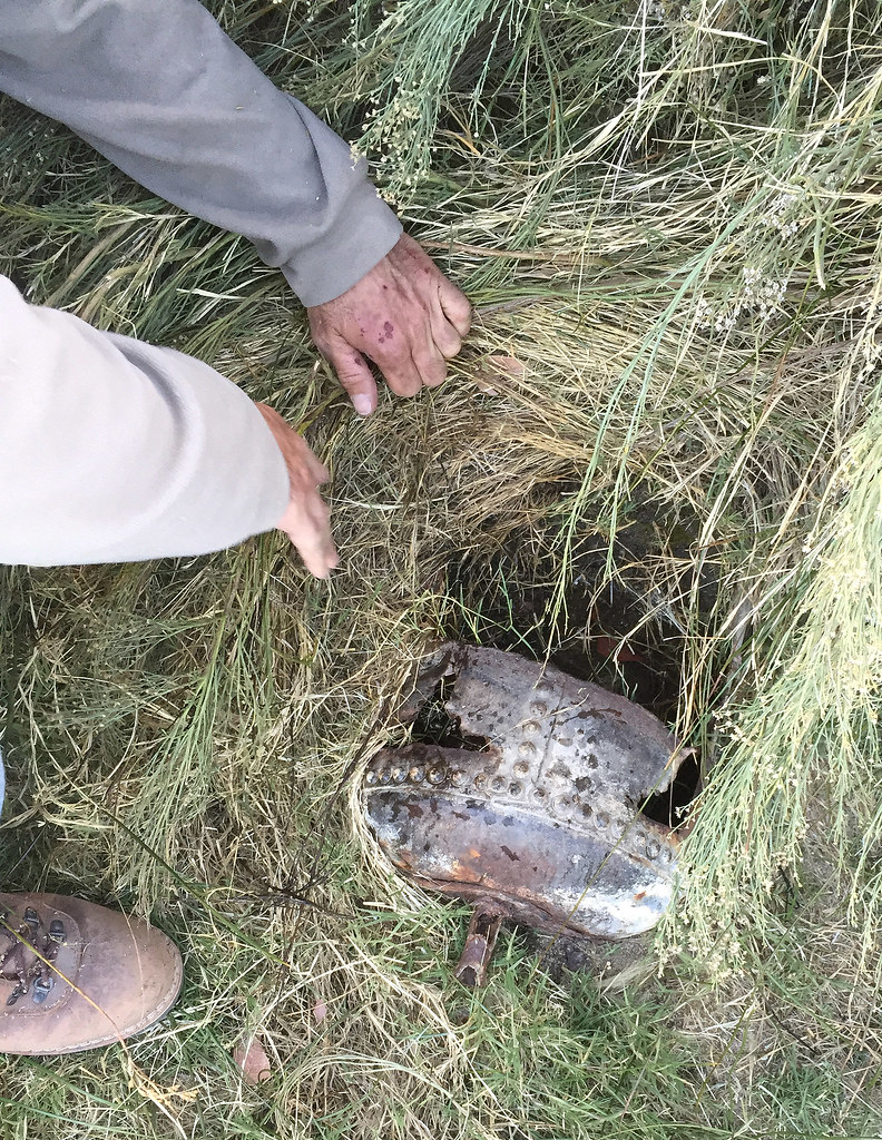
Old abandoned guzzler further down the ridge.
 Guzzler by tomteske, on Flickr Guzzler by tomteske, on Flickr
Finally made it back to the vehicles in the late afternoon. About 25 miles and 5k gain/loss. I headed home to a hot shower and Thanksgiving dinner while those guys headed toward the Orocopias for more fun. Enjoy. Tom
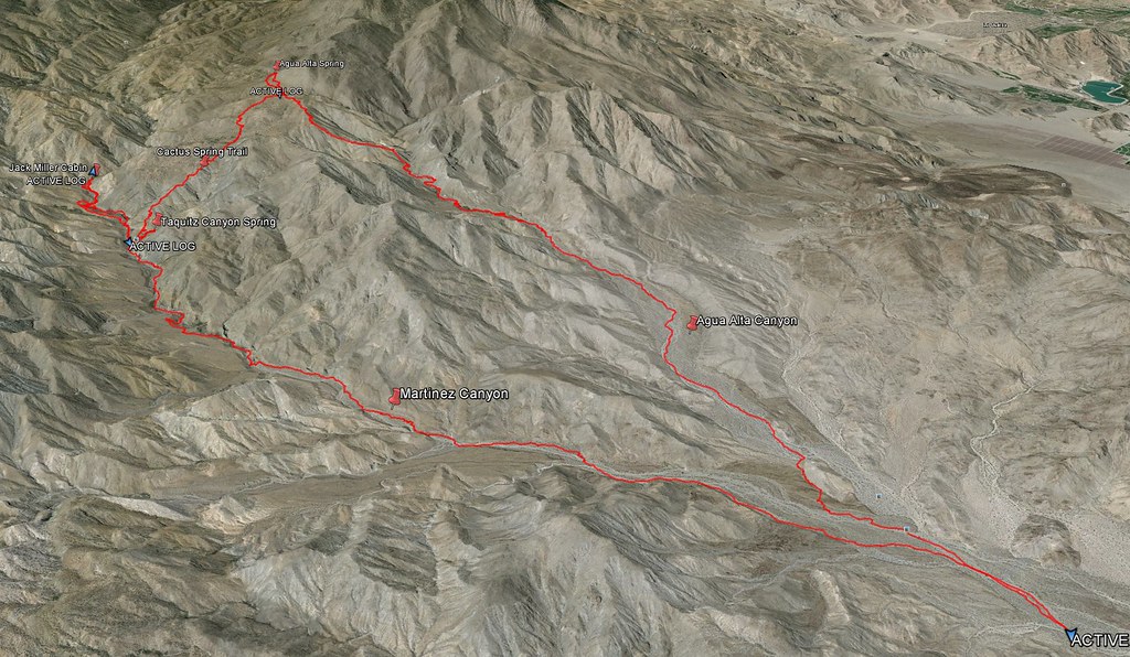 Track by tomteske, on Flickr Track by tomteske, on Flickr
|
|
|
link
|