Talk about a trip you took out to Anza Borrego
Indian Hill, again.
|
TR Posts: 67
11/2/2011
|
I went out again October 8th to Indian Hill to find the petroglyphs.
Here's the tower with a couple of birds circling it.

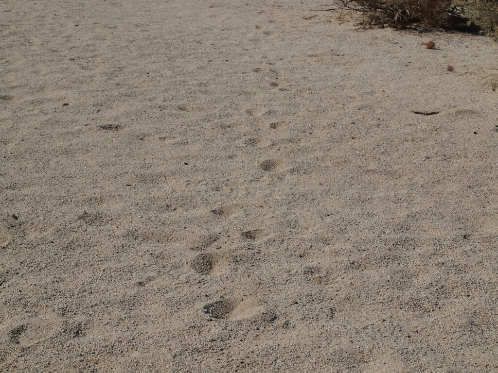
It had just rained recently. So there was a lot of fresh tracks.

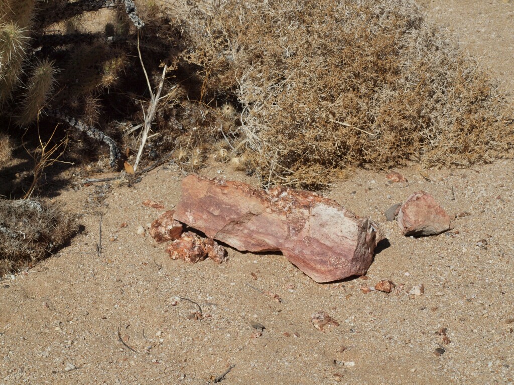
I found this large chunk of rose quartz. It seems a bit out of place as there was no other samples of it around.
I was working on the assumption that the cave that the rock art was in was on the north east side of Indian Hill. I think I got that out of Jerry Schad's book. My topo map reading can't be that bad. This has to be Indian Hill. Here is an example of some barrel cacti on the north east side of Indian Hill.

A cactus fail, on the north east side of Indian Hill.

An Agave or Century Plant.

I figured that the cave would not be right at ground level. So I scoured the hillside for possibilities.


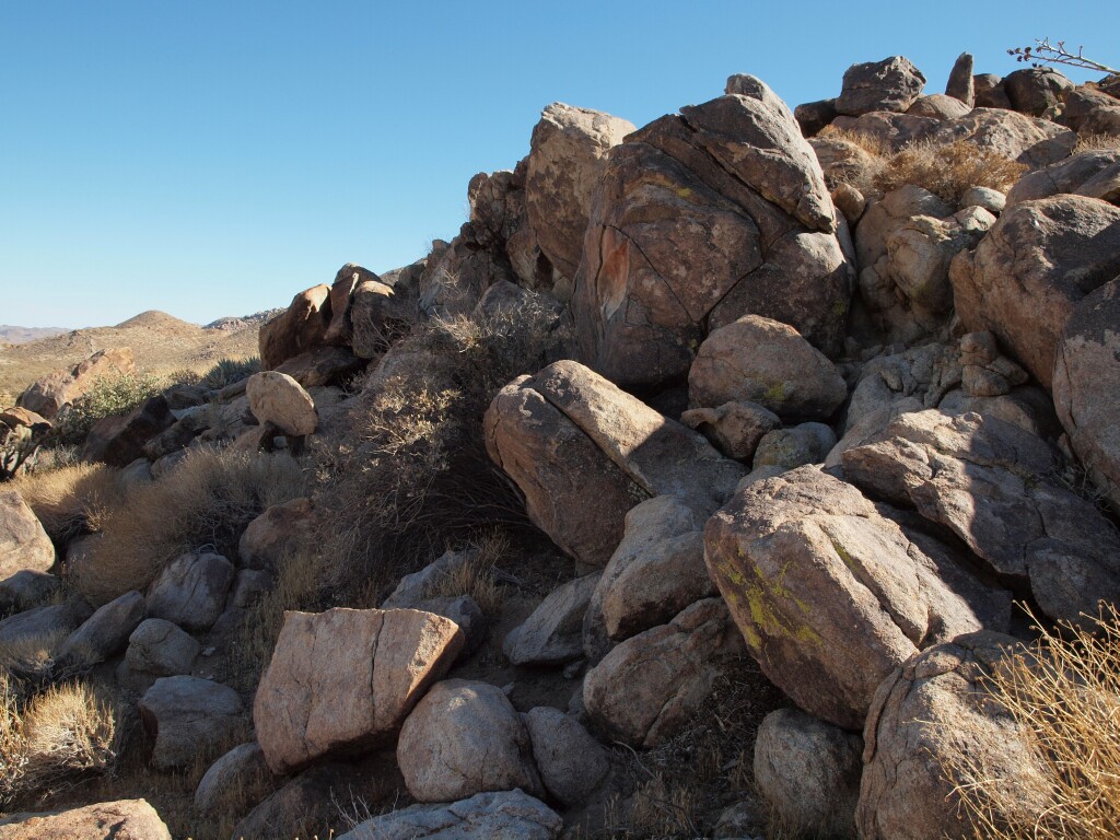

Then against my better judgment, I climbed the hillside to check out the prospects.
It was not a pretty sight.
But each site was a bust. Not a cave, or any rock art in the bunch.
So I took a couple pictures while I was up at the different sites. First to the north west.

With all the climbing around I did, and poking amoung the rocks, you'd think I would have come across a snake. But no snakes. I did almost step on a Kangaroo Rat. But didn't get a picture as it was quite fast.
Then to the north east.

At the base of Indian Hill I came across this scat. I'm not sure who's scat it is. Unlike most of Daren's pictures, there are no bits of bone and little teeth. So I was thinking it was possibly a domestic dog. But the tracks leading away from it were a single set. No, human foot prints anywhere around. So I sort of ruled out dog. So, as Sherlock Holmes says, when you've eliminated all the obvious clues, the remaining clues, no matter how unlikely must be true. So I'm left with vegetarian coyote or mountain lion?

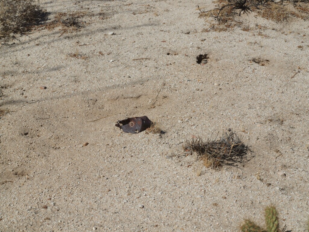
Ran across more cans. One seemed to be opened with a knife or a hatchet slit to the top.

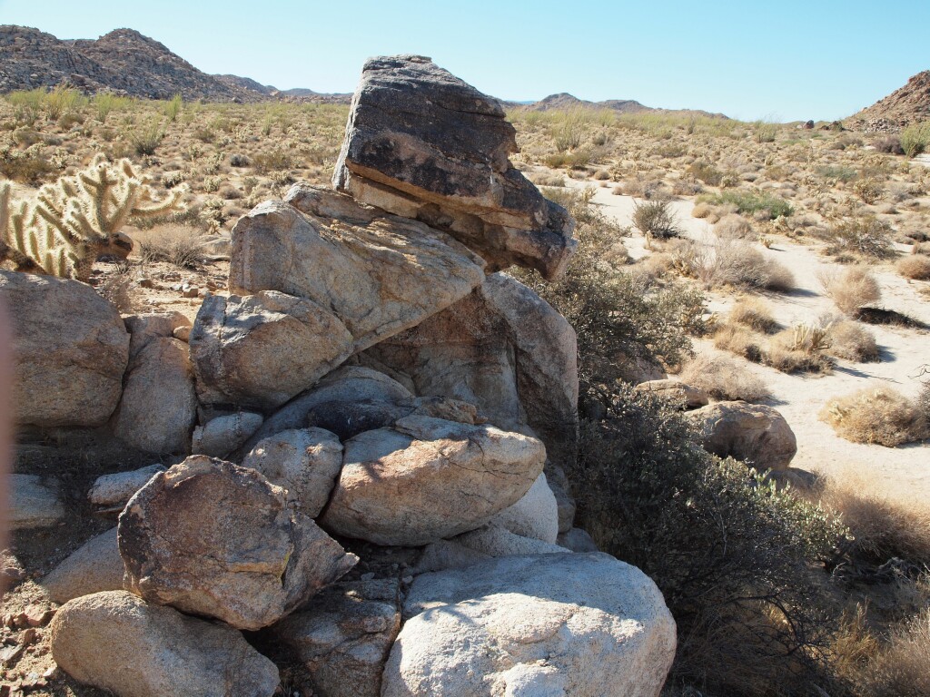
And of course here is the large mortero rock the Daren mentions, from my last trip.

Does someone have a GPS fix on the cave? Because I don't seem to be able to find it on my own.
I got back to the truck at 5:30. I ran into a young man who was just starting his hike to the trestle. He asked if I knew about the trestle. He also asked if he should park there, or continue on down the road. I told him, that parking here are following the jeep trail across the desert would cut out the big loop of track to the north. All he had was a Camelback and another liter of water. I gave him my map, and showed him the jeep trail. Told him to follow it out till it hit the tracks again, and then turn left. By this time it was 5:45. He took off across the desert and I left to go home. I went out Mortero Wash, and by the time I aired up my tires, it was dark.
It was really late to start the hike to the trestle. Even if he wanted to see it at sunset, he was going to miss it. I got to thinking that he probably doesn't know that there are a few tunnels between there and the trestle, and he didn't seem to have any lights. I figured he'd probably turn back at the first tunnel. And there's no way he could miss his truck, even if he missed the turn off to come back by Indian Hill.
|
|
|
link
|
|
dsefcik Administrator Posts: 2634
11/2/2011
|
hey TR, nice pics...another great trip out to indian hill!
here is my take...the scat (and i am no expert and could be completely wrong) is really dark and smooth...meat..it is not pinched (so probably not cat) and does not have the usual long taper of a coyote...there are many droppings instead a single long "log" so i sense distress in the diet. i doubt it was a domestic dog, probably coyote, especially if it was in the middle of a game trail.
you seem to be knowledgeable in geology, i am not and would like to be...a rock to me is "cool looking" but nothing deeper...
i totally recognize the landscape in your photos, especially the long white rock line in one of your photos, i believe i hiked the same hill my first time out there.
one thing that disturbs me is the fresh vehicle tracks in some of your photos, i can only hope they are border patrol.
i am glad you found the mortero boulder i referenced, i thought it was pretty cool.
i don't think you will find anyone who is willing to post gpx coordinates for the cave but you are close and i would recommend that you take some binoculars with you the next trip and remember that the topo maps do not indicate the correct indian hill for your purposes. i found the cave with bino's and just looking around. the fun part is actually finding everything else that has nothing to do with the cave!
daren
--
http://www.sefcik.com
http://www.darensefcik.com
http://www.carrizogorge.com
|
|
|
link
|
|
surfponto Administrator Posts: 1369
11/2/2011
|
Great Trip Report. Your pictures are great. It looks like you were really close to the Railroad Construction Camp which is a bit South East of Indian Hill
--
https://www.anzaborrego.net/


|
|
|
link
|
|
DHeuschele Posts: 87
11/2/2011
|
TR wrote:
Does someone have a GPS fix on the cave? Because I don't seem to be able to find it on my own.
I feel OK posting this as both sets of information here are published.
Most Topo maps including those from National Geographic Topo! have the wrong hill marked as Indian Hill. Schad in AFAF SD does indicate it is mislabeled on the Topo map but this is easy to forget/miss (i missed it my first time trying to find the cave). It is the hill in the same vicinity as the one marked on the Topo map as Indian Hill and the cave is on the North East side (Schad).
Lindsay in Anza Borrego Desert Region (p. 206) lists the hill as UTM 5-77.6E 36-24.1N (Northeast corner of Topo section 29) and also points out that it is mislabeled on the Topo maps.
My first time out to find the cave I searched the wrong hill (likely the same one you were searching - the one labeled on the Topo map as Indian Hill) for quite a while before giving up and heading to the Goat Canyon trestle which was a great destination so all was not lost. I searched the wrong hill even though I had 2 references indicating the hill was mislabled on Topo maps (I must have glanced over that part or thought my topo magically had it correct). Also if you are searching the wrong hill and then head for the RR tracks you hit the RR Camp (bunch of kegs).
|
|
|
link
|
|
dsefcik Administrator Posts: 2634
11/10/2011
|
DHeuschele wrote:
Lindsay in Anza Borrego Desert Region (p. 206) lists the hill as UTM 5-77.6E 36-24.1N (Northeast corner of Topo section 29) and also points out that it is mislabeled on the Topo maps.
So that is the gps of the actual hill and not the cave? That should get you close enough to find the cave if so. Either way you are close, you just need to wander around a bit more.
--
http://www.sefcik.com
http://www.darensefcik.com
http://www.carrizogorge.com
|
|
|
link
|