Talk about a trip you took out to Anza Borrego
Harper Cabin
|
hikerdmb Posts: 423
11/5/2011
|
It was a blustery day but that wasn't going to keep me from this hike. When I left home it was already raining and it continued to rain all the way over the mountains. As I drove down S-2 through the San Felipe Valley toward Scissors Crossing I notice something in my rear view mirror. It was a sign that this would be a good day.

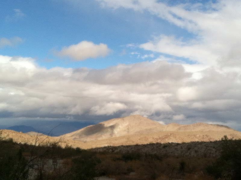
I drove on down to Highway 78 and then headed east to Pinyon Wash. I drove up to the end of Pinyon Wash and parked at the usual spot. I started the hike up the narrow canyon and the clouds, which followed me over the mountains, were getting closer. You can see them trying to come across the Pinyon Mountains and over the narrowest part of Pinyon Wash. But I was still in the sun, at least for a while.
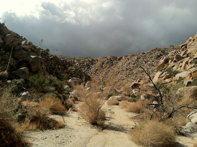
As I entered Harper Flat I stuck close to the western edge and followed the wash up toward the south and the canyon where I knew I would find the cabin. The rain clouds kept getting closer and starting to sprinkle a little bit. I had packed my rain gear so I wasn't too worried. The wind blew off and on the entire way across Harper Flat. Sometimes it was soft but mostly it was very blustery.

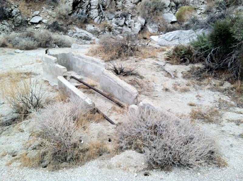
After reaching the junction with the Pinyon Mountain Road I followed it a short way and then left it to head up the canyon where the cabin is located. I spotted this old watering trough and knew I had to be close.
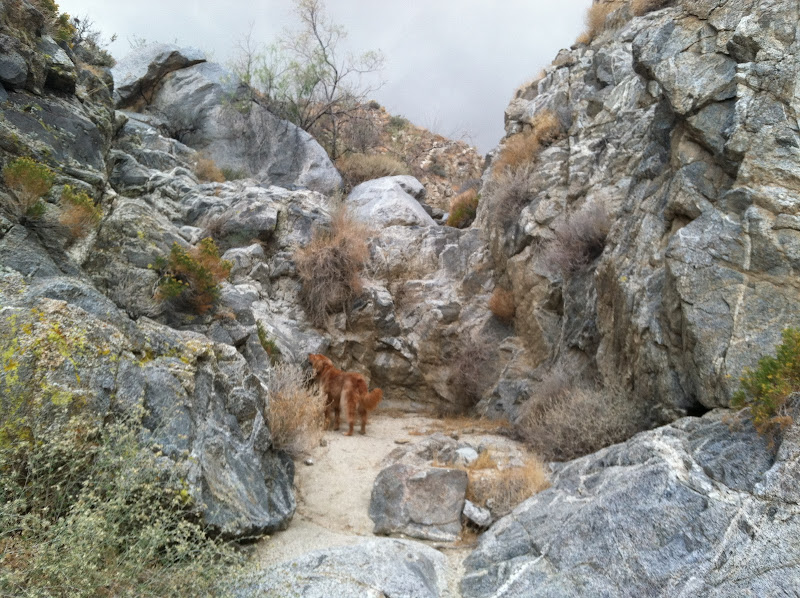
I wasn't exactly sure where the cabin was so I kept to the south side of the wash/canyon to see if I could find it. When I reached a fairly large dry fall I thought for sure that I had missed the cabin, so I backtracked down the wash along the north wall. Still didn't see anything so I headed back up the wash and climbed out of it a couple of times along the way to see what I could find. I eventually made it back to the dry fall and decided to go up and over it to see what was above it.
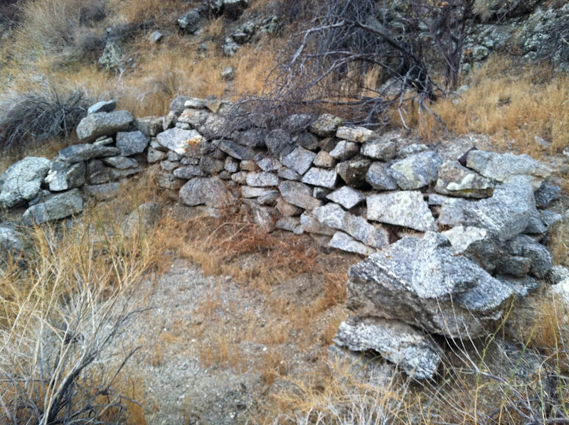
Once over the dry fall I found some ruins but it didn't look like the cabin pics I had seen before.
I spotted some roofing materials and other objects and they led me to the cabin ruins. There is not much left of this old place. The old bed springs and some rusted out cans are still inside and there is some wood and lots of roofing tin.

A bit farther up the canyon past the cabin is the dam. I learned that this dam filled up with sand pretty quickly after it was built and this played a huge part in ending the Harper brothers ranching operation in Harper Flat. It's difficult to judge in this picture, but the dam is about 12' high. There are supposed to be two dams but it was raining pretty hard now and I still had to get back down the dry fall, which was now wet and most likely slippery.

I started the return hike back to the truck the rain continued fairly heavy for few minutes. When I got back down to where the Pinyon Mountain Road meets Harper Flat, the heavy rain stopped. Here I was rewarded with a beautiful view down across Harper Flat to Sunset Mountain.
Once back to the truck I headed down Pinyon Wash and over to Mine Wash to visit the old Indian village site there. Here is a pic looking back across the bajada toward Sunset Mountain in the east. Lots of morteros around this part of the desert.

It turned out to be a great day. I had planned to camp in Little Blair Valley but by the time I got over there the rain was coming down more and more often. It looked like it was going to be a very windy and very wet night and I really didn't want to spend that many hours in the tent with Wylie, so I headed on home around 5:30. That turned out to be a good call since it rained all the way home and the radar showed it raining back in the desert for several hours after the sun went down.
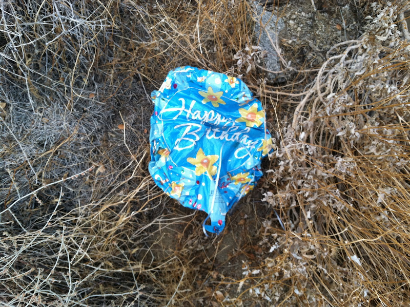
One more thing...Mylar balloon count from this trip - 1.
The hike, as I did it, was about 5 miles round trip with almost 800' of elevation gain. If you have a capable 4x4, you could take the Split Mountain Road and follow it all the way to the base of the Pinyon Mountains. The hike to the cabin from this road would only be about half a mile each way.
David
|
|
|
link
|
|
dsefcik Administrator Posts: 2634
11/5/2011
|
WHERE'S THE MOVIE LINK???
David made a great movie of the trip..post that link David!
--
http://www.sefcik.com
http://www.darensefcik.com
http://www.carrizogorge.com
|
|
|
link
|
|
dsefcik Administrator Posts: 2634
11/5/2011
|
I like the rainbow picture, it has nice lines to it..
Good to see you also in the mylar ballon count..can't believe how many of those damn things there are out threre.
--
http://www.sefcik.com
http://www.darensefcik.com
http://www.carrizogorge.com
|
|
|
link
|
|
hikerdmb Posts: 423
11/5/2011
|
Okay Daren, here is the link to the video.
http://youtu.be/r2Y2QtyuHpI
|
|
|
link
|
|
surfponto Administrator Posts: 1369
11/5/2011
|
Looks like a nice trip David
Rainbow pic is great.
Great video too
The iPhone 4 is amazing 
Bob
hikerdmb wrote:
Okay Daren, here is the link to the video.
http://youtu.be/r2Y2QtyuHpI
<em>edited by surfponto on 11/5/2011</em>
--
https://www.anzaborrego.net/


|
|
|
link
|