|
tommy750 Posts: 1086
12/23/2012
|
Had enough shopping malls for this year so decided to head back to Pinto Canyon and locate the petroglyph sites I missed my last trip out (http://www.anzaborrego.net/anzaborrego/forum/topic373-pinto-wash-petroglyphs.aspx). Parked at the north end of Davies Valley and headed south.
Gate to Davies Valley
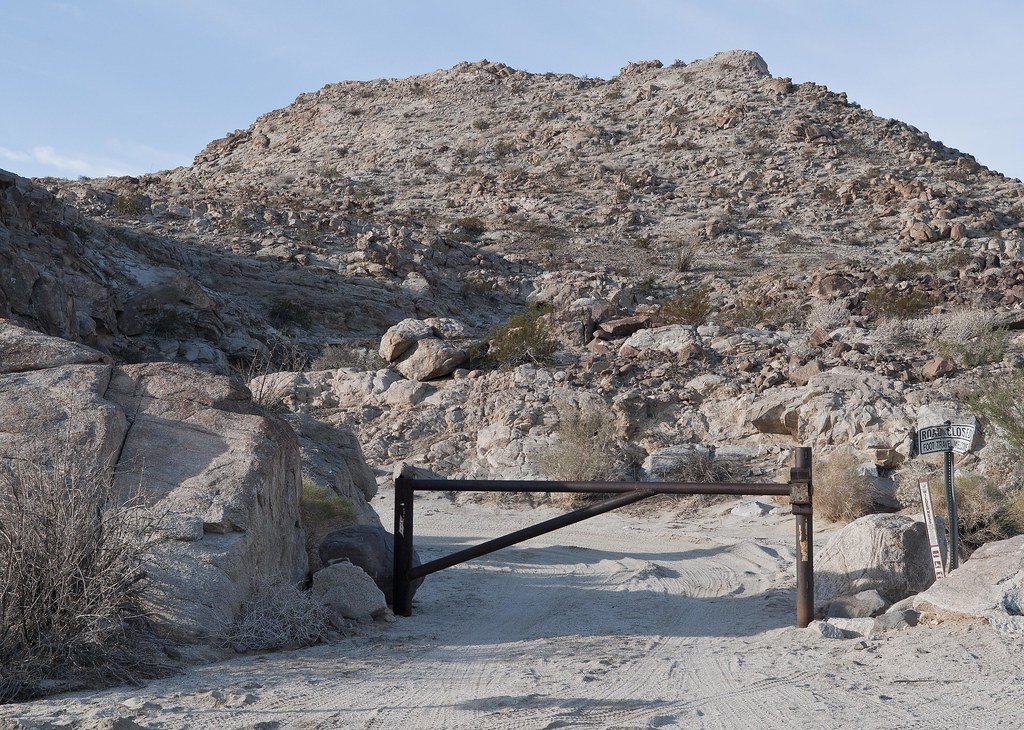
Davies Valley Gate by tomteske, on Flickr
Took one of several canyons ascending the long ridge on the western edge of the valley. The canyon mouth had an old General Land Office marker with a nice tower over it.
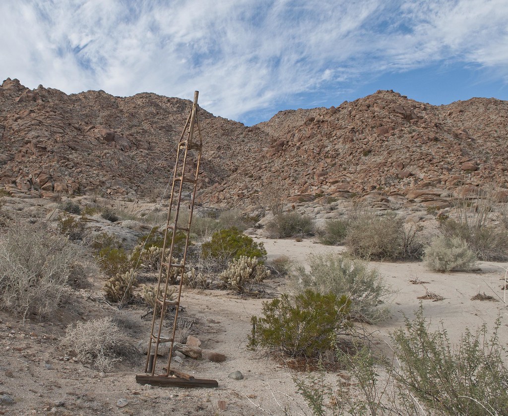
BM Tower by tomteske, on Flickr
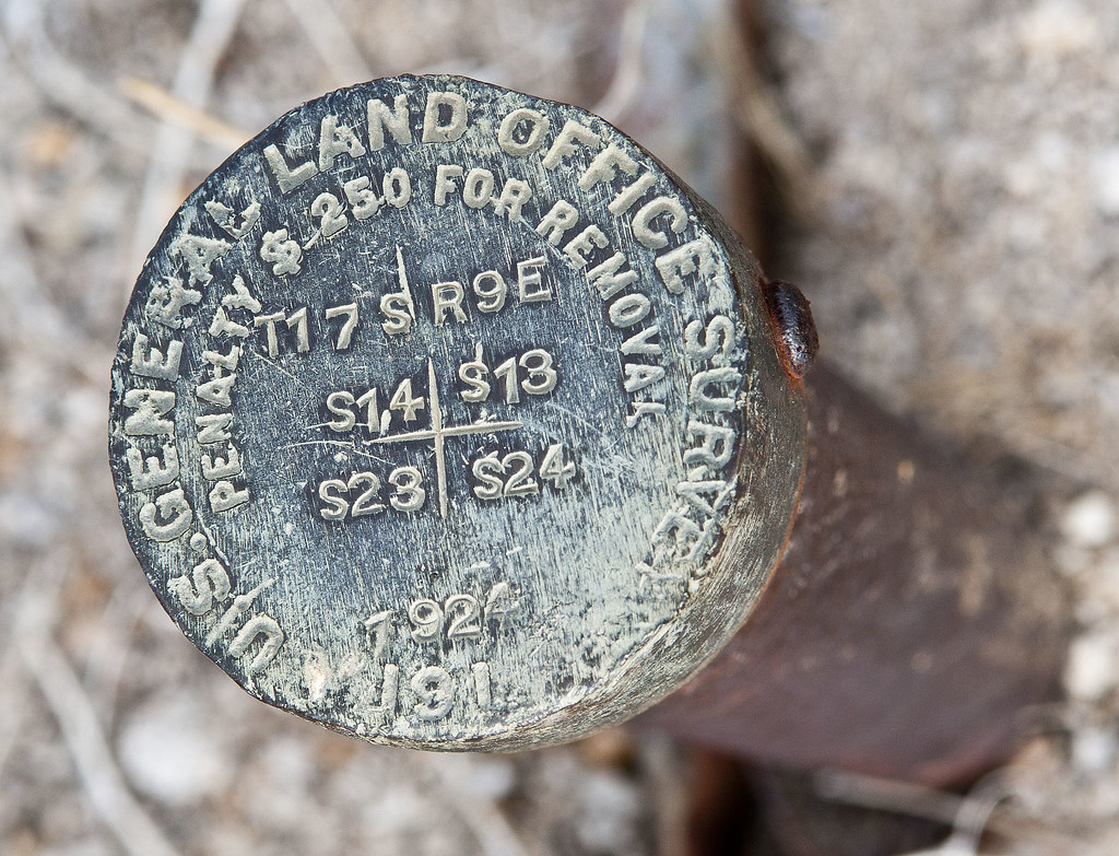
BM 1924 by tomteske, on Flickr
Wasn't sure what the markings meant so did a little internet research. This is a section marker in Township T17 S R9E and is located at the corner of Sections 14,13,23 and 24. The GLO was an agency set up by the Homestead Act and tasked with mapping government land in the west. It was subsequently absorbed by BLM.

Section 14 by tomteske, on Flickr
Halfway up the canyon looking toward Coyote Wells
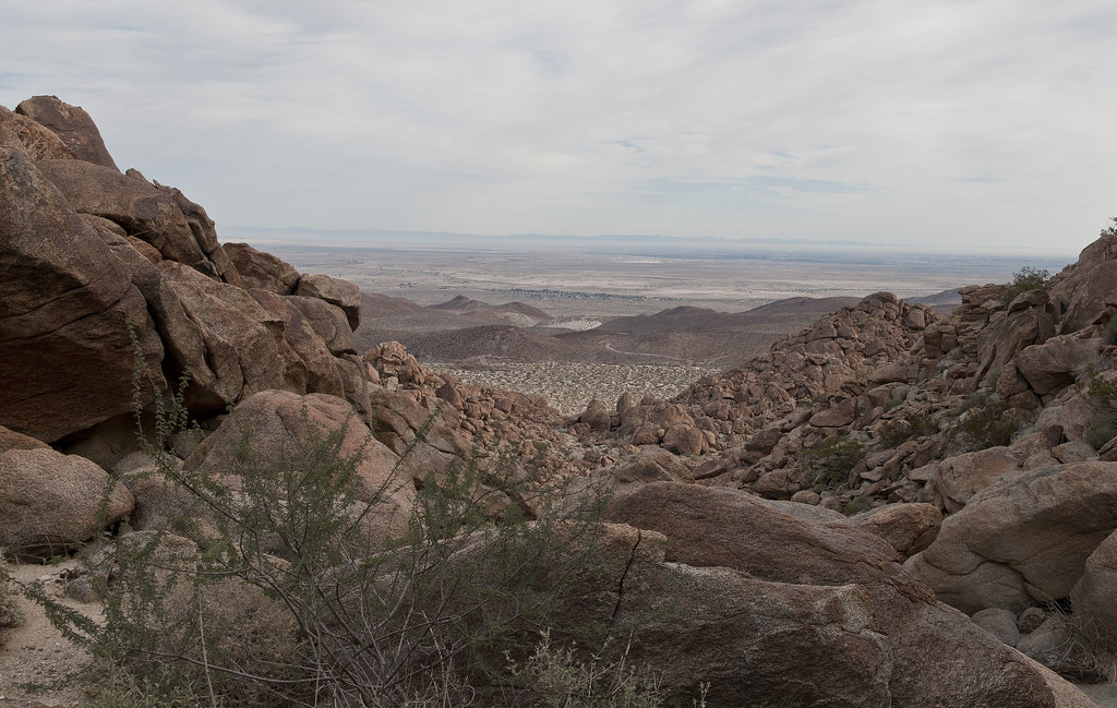
Toward Coyote Wells by tomteske, on Flickr
Morteros at the top

Canyon Entrance Morteros by tomteske, on Flickr
Headed south on a well worn trail not needing the GPS at all.
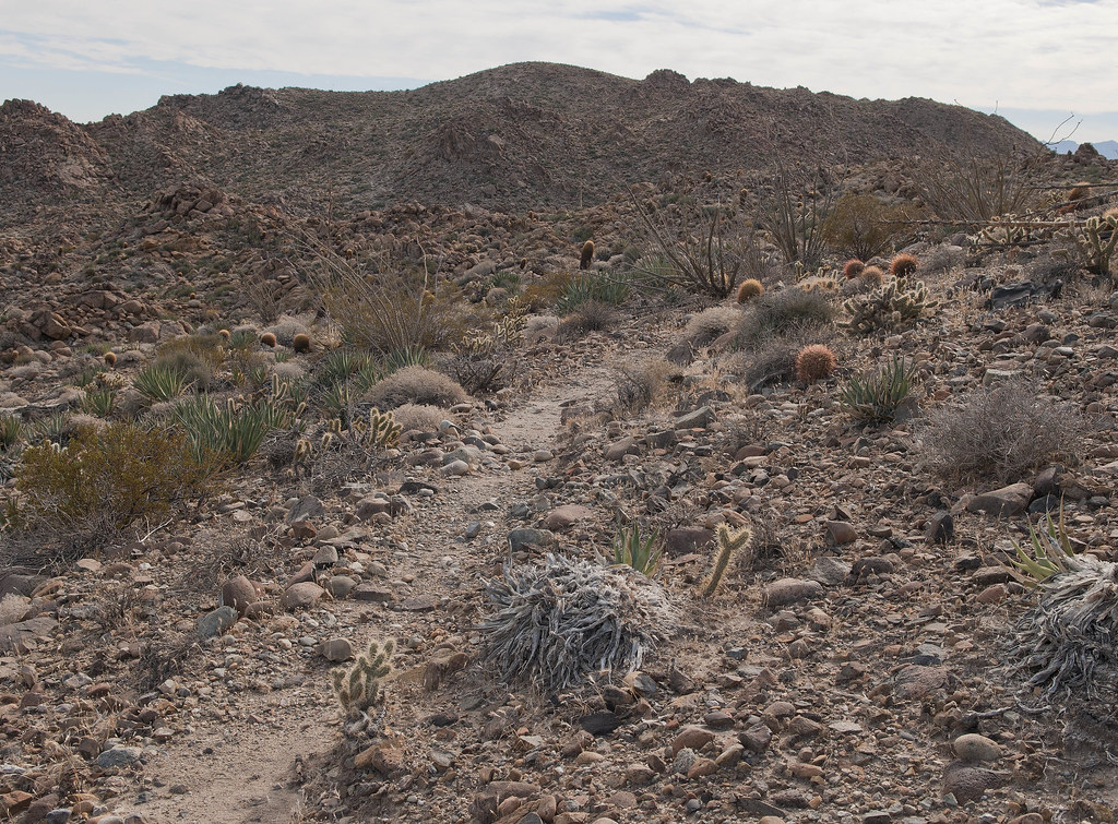
Immigrant Trail by tomteske, on Flickr
Nice view north toward Whale and San Jacinto beyond
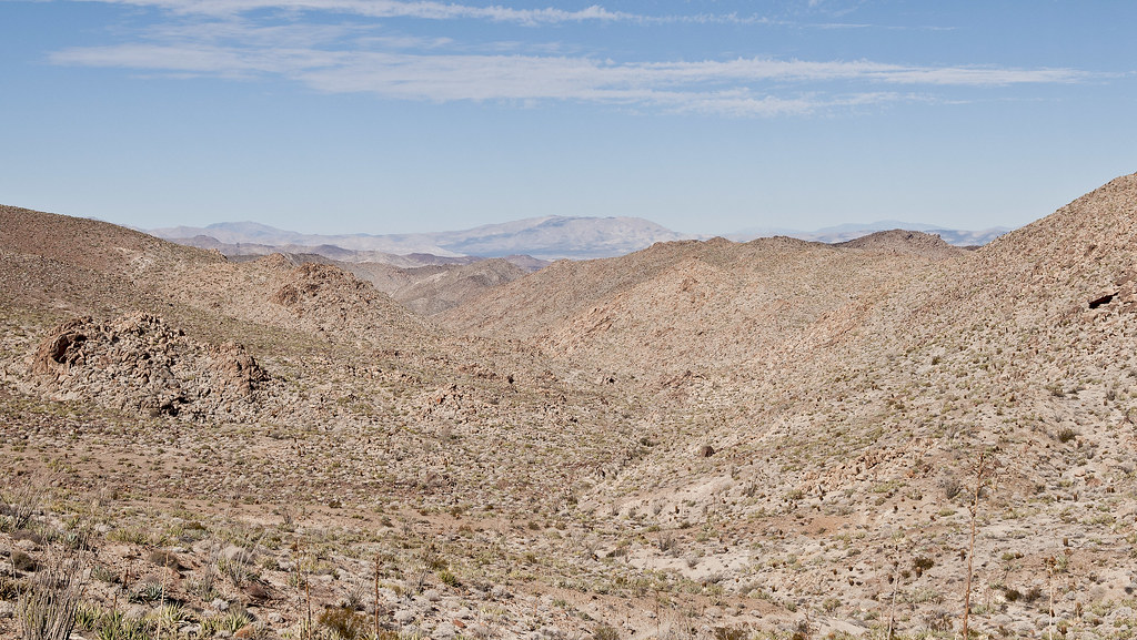
Toward Whale Peak by tomteske, on Flickr
Stumbled onto a presumed sleeping circle overlooking the canyon leading south to Pinto. First one I've ever seen.
Sleeping Circle by tomteske, on Flickr
Sleeping Circle2 by tomteske, on Flickr
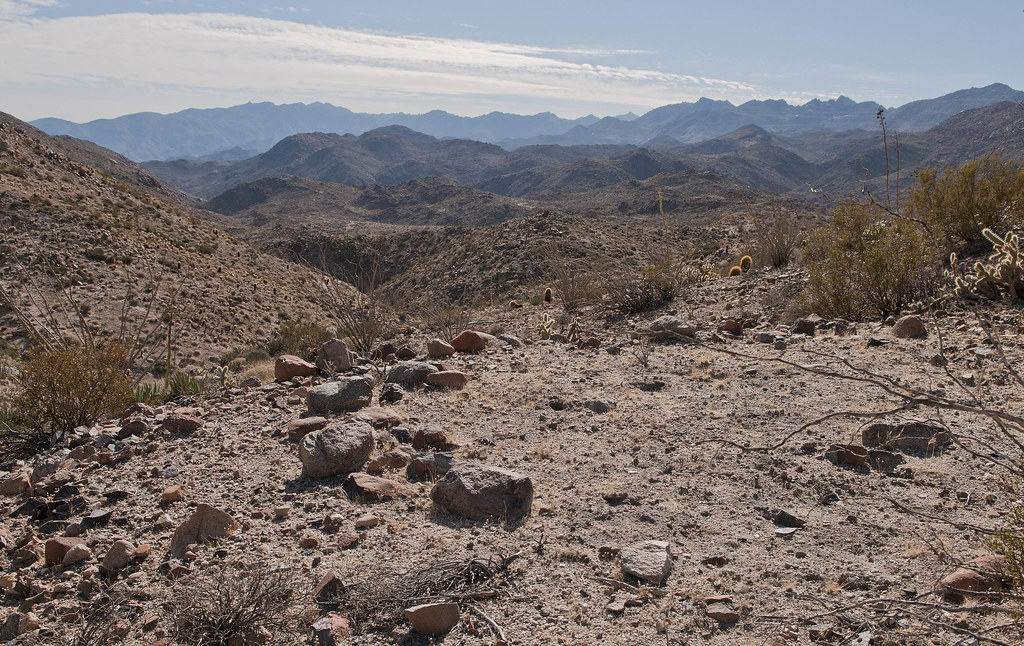
The canyon narrowed and steepened as it approached Pinto
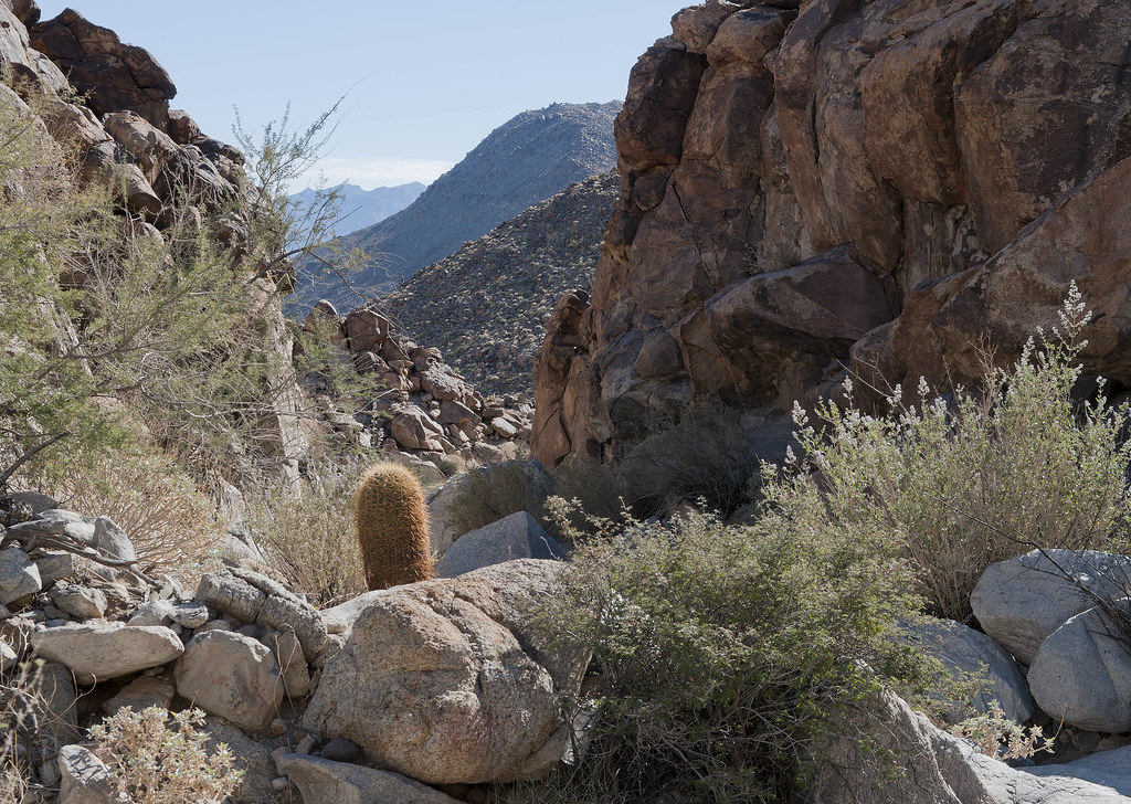
North of Pinto Canyon by tomteske, on Flickr
One of two modern pictographs I saw
Modern Pictograph by tomteske, on Flickr
Strange geoglyph by the trail
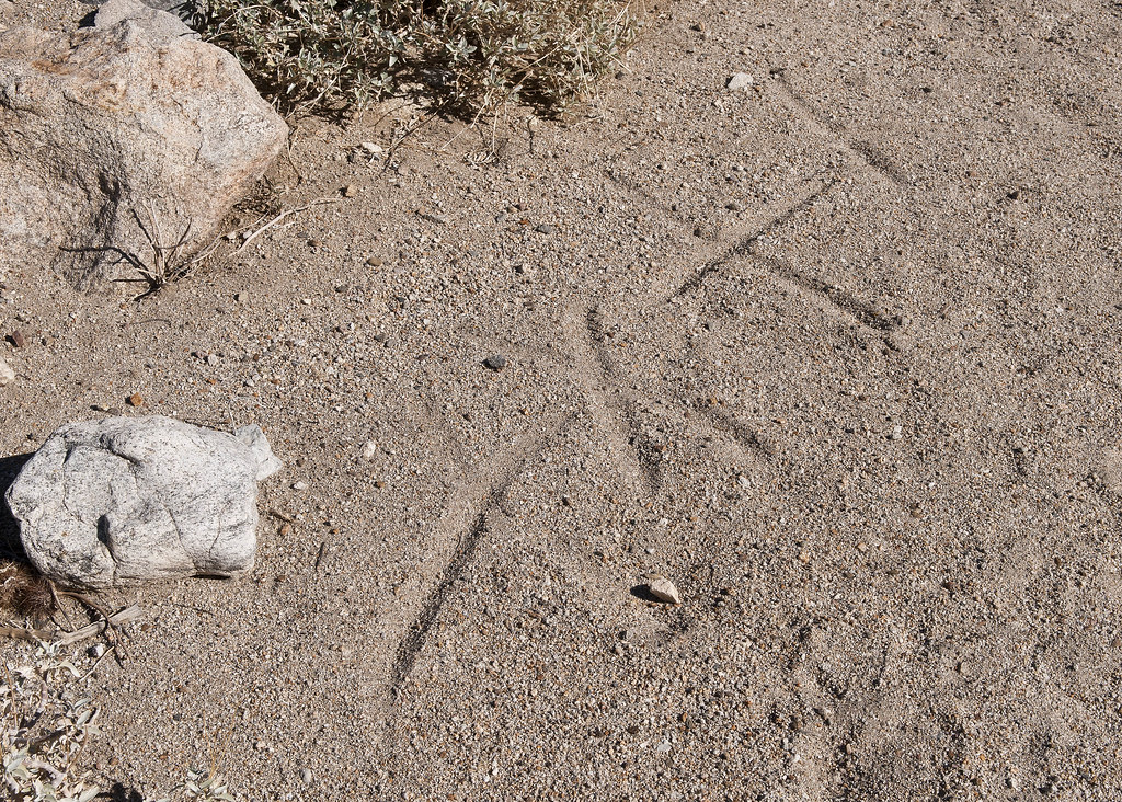
Modern Geoglyph by tomteske, on Flickr
Finally made it into Pinto Canyon. Took a brief peek at the palm oasis with the blue cross before heading downstream. No water there this time.

Cruz Azul Spring by tomteske, on Flickr
Mapped out a likely spot for the petroglyph site way downstream but something caught my eye
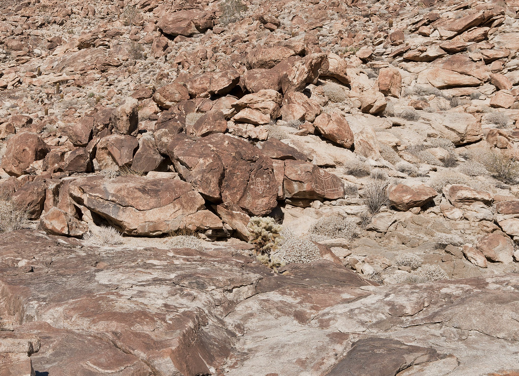
Site B by tomteske, on Flickr
Had walked right by the site last time out although it was pretty dark by then
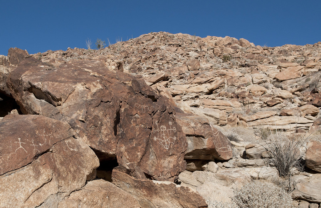
Site B2 by tomteske, on Flickr
Pretty bizarre looking glyphs with even carved eye sockets
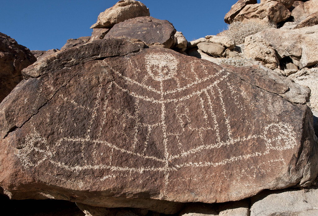
Site B Detail2 by tomteske, on Flickr

Site B Detail4 by tomteske, on Flickr
Across the canyon was another glyph location
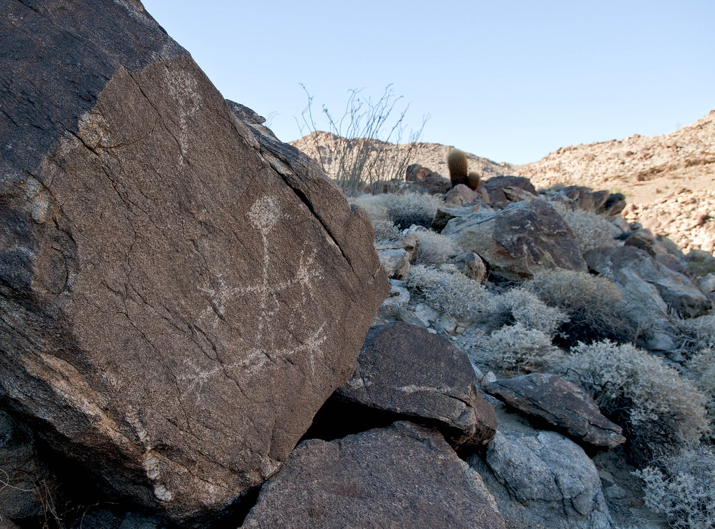
Stie B Detail7 by tomteske, on Flickr
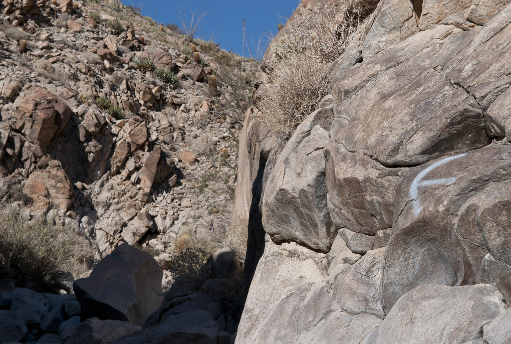
Didn't have time to look for another site between this one and the shelter cave with the boat-looking petroglyph farther upstream. Headed out of Pinto Canyon and into Davies Valley.
Looking back toward the mouth of Pinto Canyon
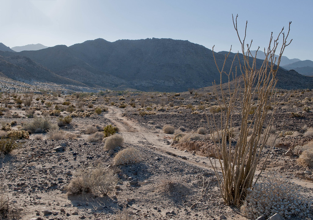
Mouth of Pinto Canyon by tomteske, on Flickr
Remnants of one of two completely destroyed vehicles next to the Davies Valley road
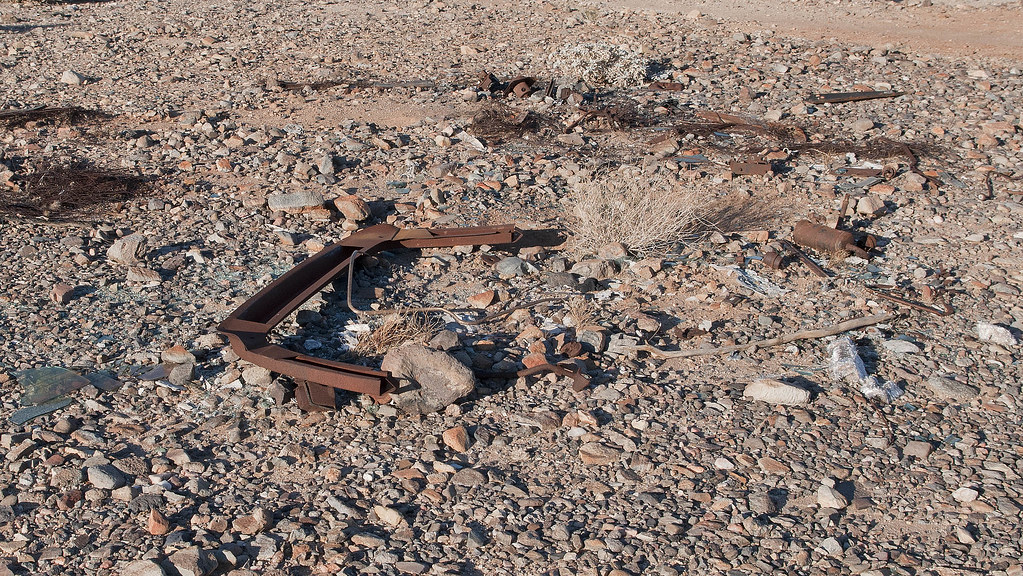
Davies Car by tomteske, on Flickr
Looking south down Davies Valley as the Sun fades
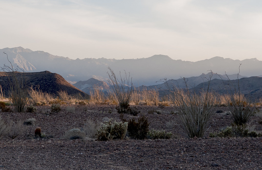
Davies Valley Looking South by tomteske, on Flickr
Have been watching the devolution of this Blazer over the past couple years
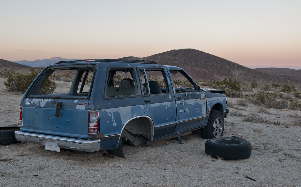
Davies Blazer2 by tomteske, on Flickr
Was rolled over on its side to harvest the rear end last time out but now upright again
Davies Blazer by tomteske, on Flickr
If you want to see it over the last couple years, here's a couple videos taken in Feb '11 and Feb '12
http://www.flickr.com/photos/tommy750/8301216511/
http://www.flickr.com/photos/tommy750/8302314224/
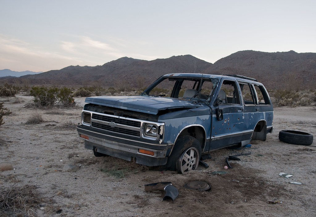
Father up, found another SUV, new since my last trip out 2/26/12
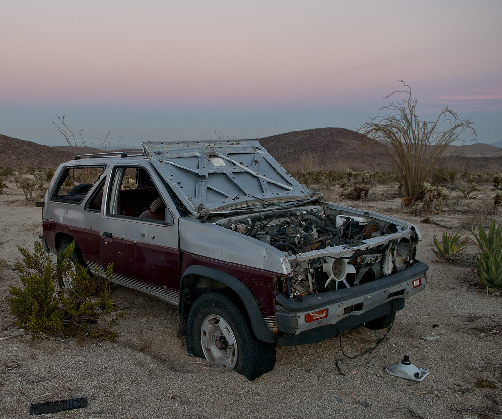
Davies Nissan by tomteske, on Flickr
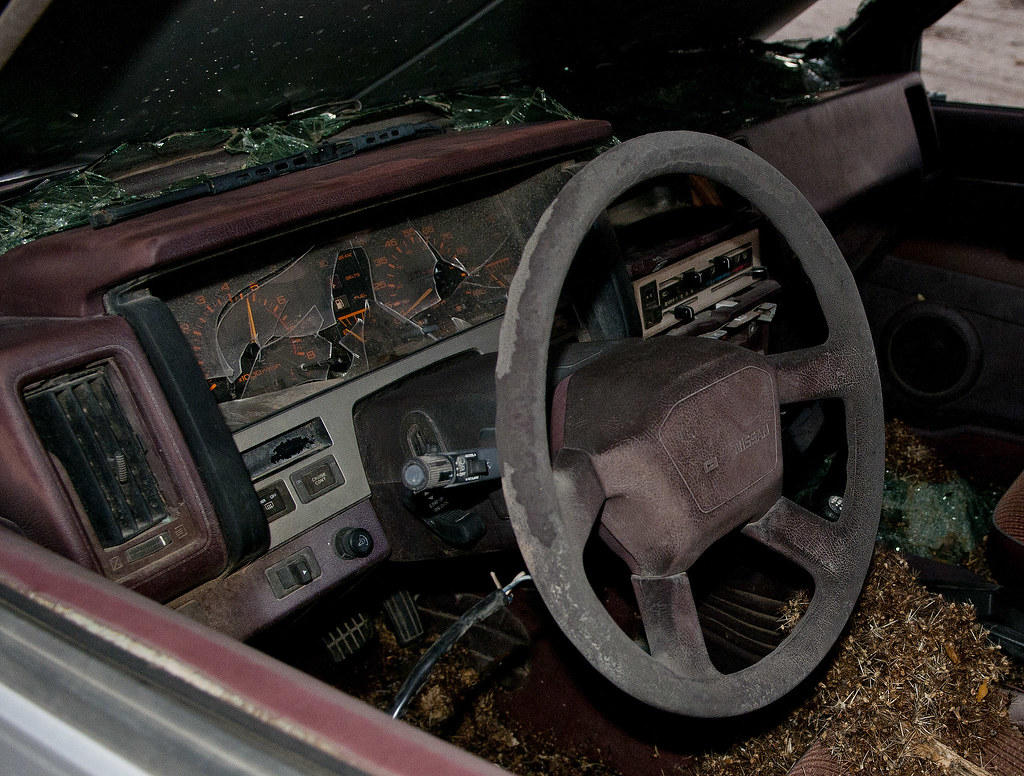
Davies Nissan2 by tomteske, on Flickr
Nice enjoyable time in the Jacumba Wilderness. Sixteen miles, five mylar balloons and zero fights over parking spaces  Happy Holidays. Tom Happy Holidays. Tom

Pinto Canyon From Davies Valley 12-22-12 by tomteske, on Flickr
edited by tommy750 on 12/23/2012
edited by tommy750 on 12/23/2012
|