Talk about a trip you took out to Anza Borrego
West Mesa and Ancient Lake Cahuilla
|
tommy750 Posts: 1086
3/25/2013
|
For some reason I became curious about Ancient Lake Cahuilla and made six trips in the last couple months looking for what still remains. There appears to be a lot! Started by heading out to West Mesa to check out the amazing beach clearly visible from Google Earth. Actually, you can pretty much trace the entire shoreline on Google with little difficulty.
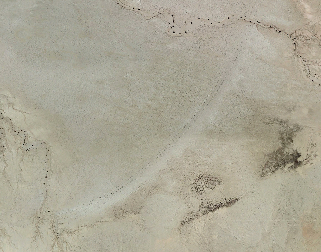
Beach by tomteske, on Flickr
Took the road North from Plaster City. Lots of signage starts to appear.
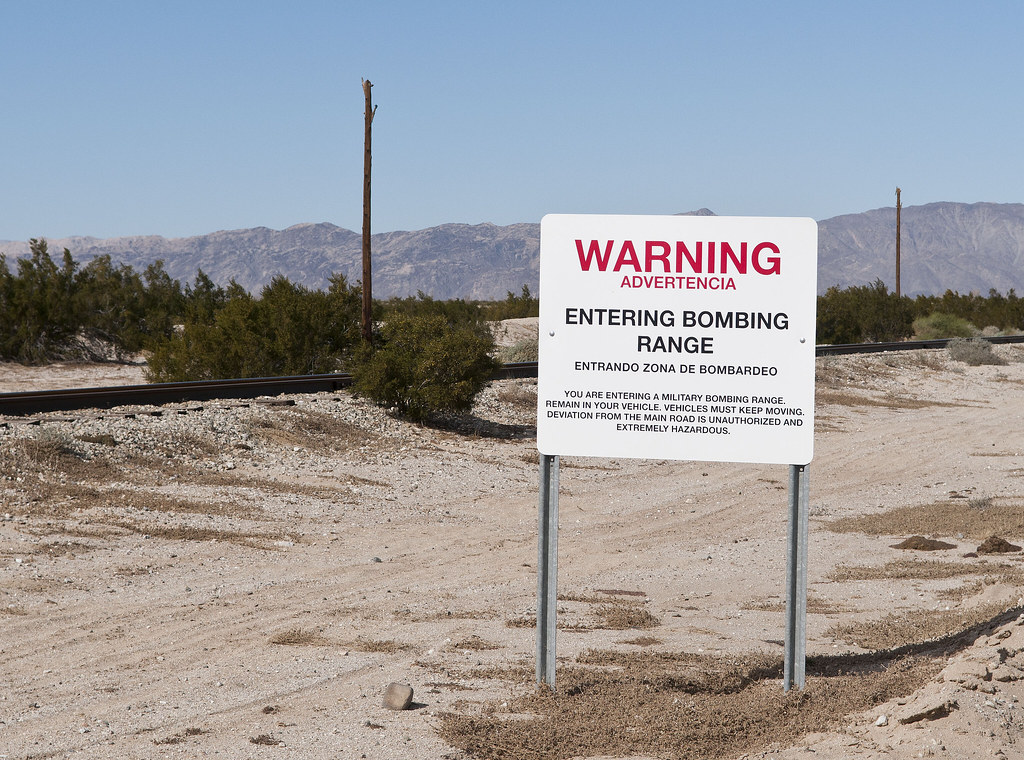
Bombing Range by tomteske, on Flickr
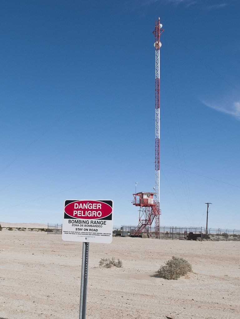
Spotting Tower by tomteske, on Flickr
A few miles in and on the right, a fenced area contains used practice munitions.
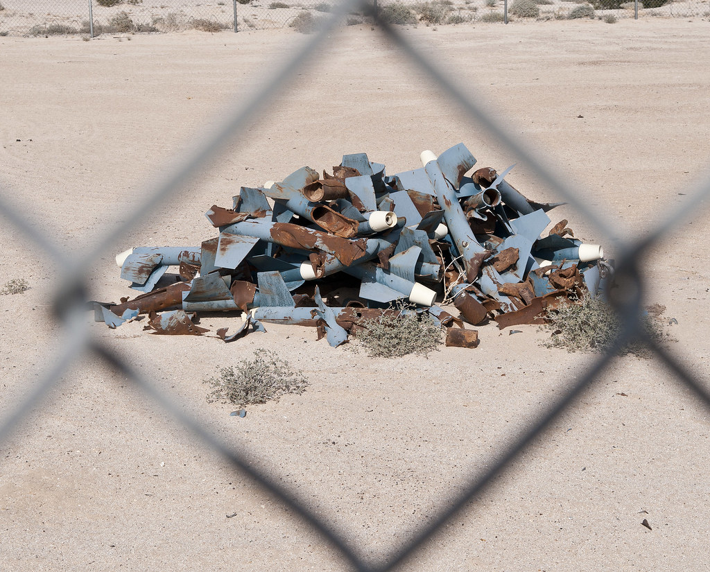
Practice Missiles by tomteske, on Flickr

Practice Bombs by tomteske, on Flickr
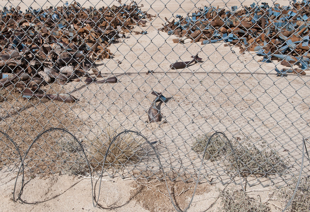
Practice Junk by tomteske, on Flickr
Off to the left, aerial target markers.
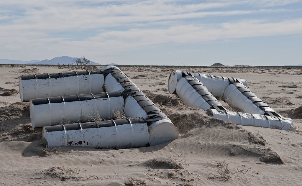
30 Range by tomteske, on Flickr
Nearing Fish Creek Mts. The beach is between these and Superstition Hills.
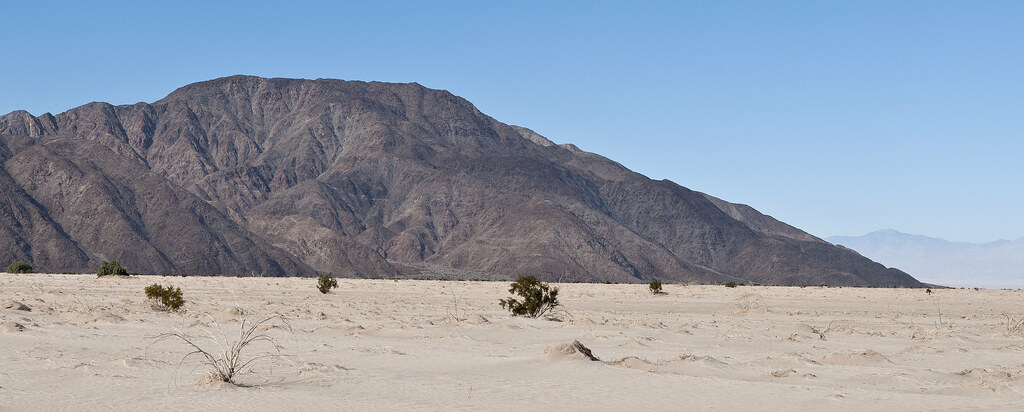
Fish Creek Mts by tomteske, on Flickr
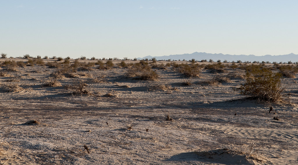
Winding across mud flats and through a few arroyos, finally end up at the ancient beach. The maximum height of Ancient Lake Cahuilla was 42ft. Then it would overflow to the South and re-enter the Colorado River channel.
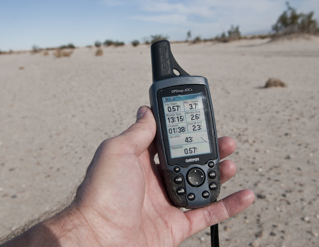
43 Feet by tomteske, on Flickr
Lots of the beach vegetation was in nice parallel rows easily visible from the satellite image. Not sure what this plant is but there were a lot of them on the sandy shore and they had a bonsai kind of appearance.
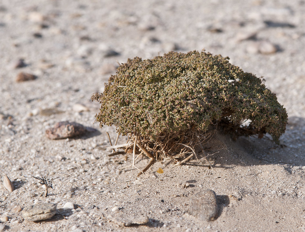
Beach Plant by tomteske, on Flickr
Walked the length of the beach and found lots of sherds on the sandy bluffs above the beach.
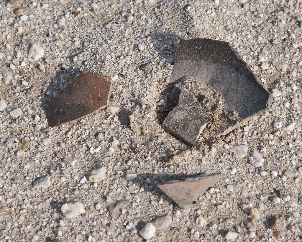
Beach Sherds by tomteske, on Flickr
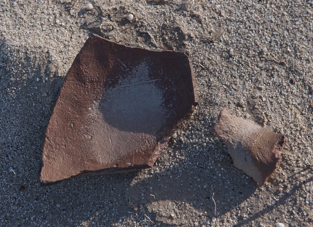
Beach Sherds2 by tomteske, on Flickr
At the far East end of the beach is a wash entering the lake with a nice exposed cross section of a fault.

Uplift by tomteske, on Flickr
Cut across the lake bed on the way back and found lots of shells.
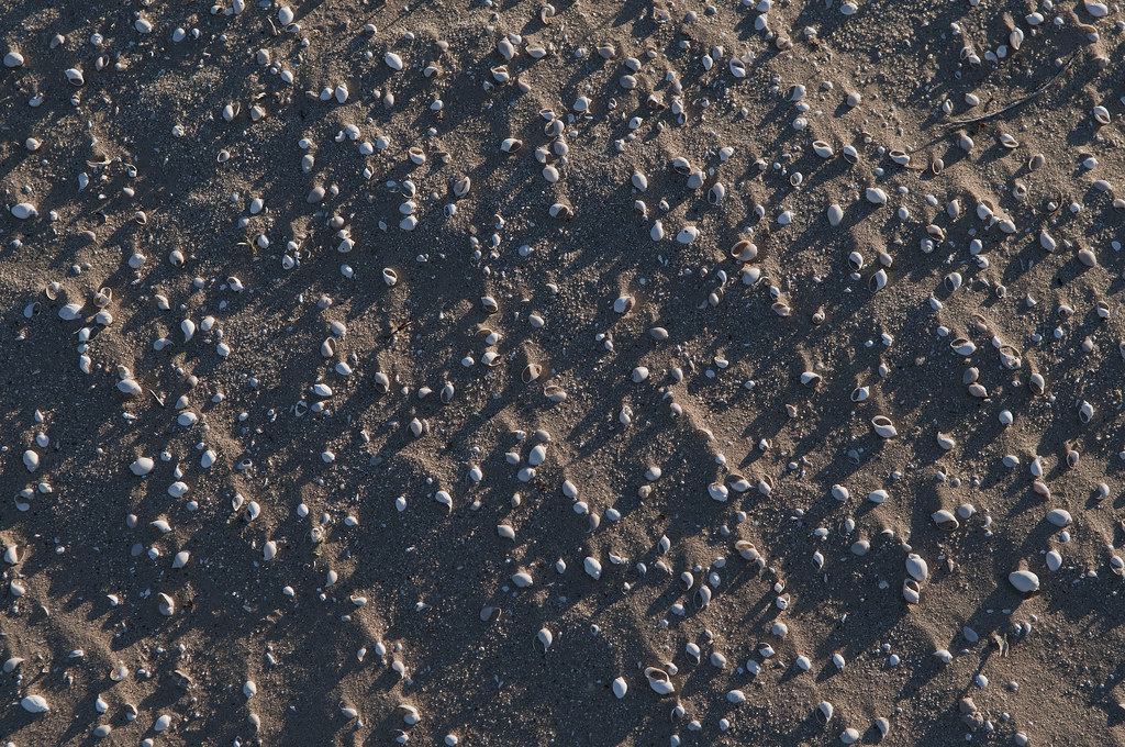
Cahuilla Shells by tomteske, on Flickr
Mandatory mylar photo.
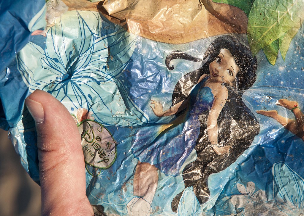
Disney Fairie by tomteske, on Flickr
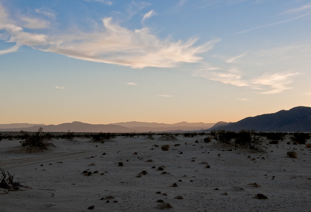
View of the shoreline from inside the lake bed.
Beach View by tomteske, on Flickr
Time to head home. Toward Carrizo Wash from the beach. Will post more on other interesting parts of the lake. Enjoy. Tom
Toward Carrizo Creek by tomteske, on Flickr
|
|
|
link
|