|
tommy750 Posts: 1086
3/29/2013
|
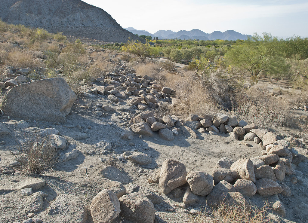
The Indio Fish Traps and petroglyphs are one of those archaeology sites marked on your topo map and definitely worth visiting. Created on the receding rocky shoreline of Ancient Lake Cahuilla, the traps are all well below the maximum lake height. Based on the degree of tufa deposition and recovered artifacts, they were probably created about 400 years ago with the last complete infilling of the lake. Decided to take the drive out last Sunday and stop by Salton Sea Test Base on the way back.
Here's a view northward along the shoreline.

Indio Fish Traps Vista by tomteske, on Flickr
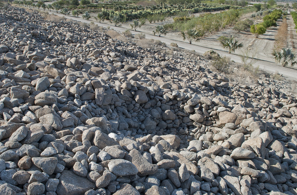
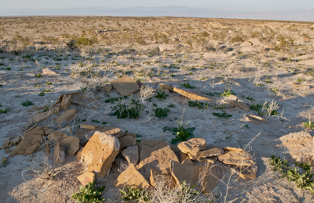
There's several rows of traps and some of them that are farther south look like sleeping circles but simply may be filled in.
Indio Fish Traps by tomteske, on Flickr
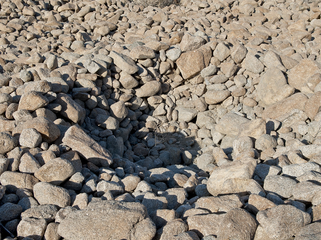
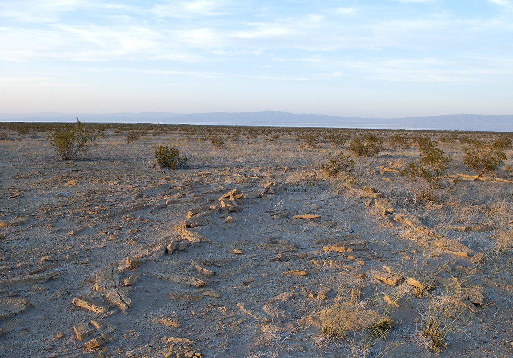
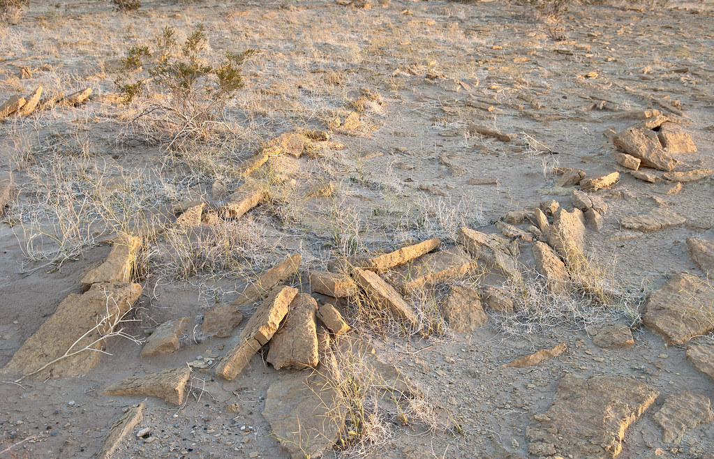
Farther north on the very rocky shore, the rather deep traps.
Indio Fish Traps2 by tomteske, on Flickr
Indio Fish Trap by tomteske, on Flickr
Didn't really find any pottery till stumbling on this one area.
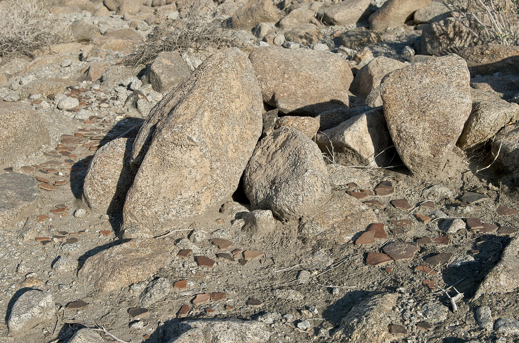
Indio Sherds by tomteske, on Flickr
Vaguely remember reading an article stating someone dumped a bunch of artifacts at this site that were not native for unclear reasons but now I can't seem to find the reference.
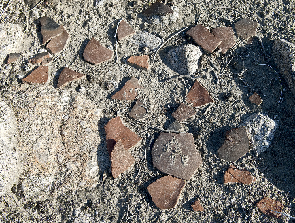
Indio Sherds2 by tomteske, on Flickr
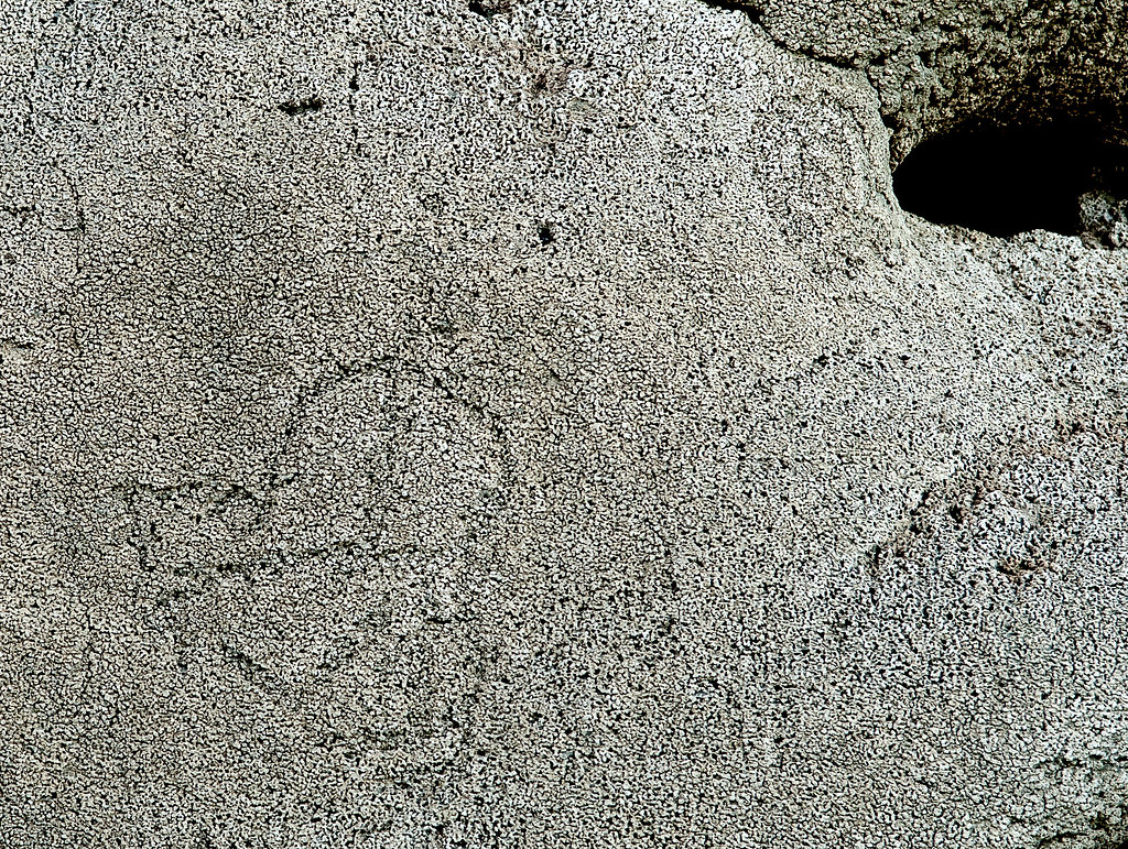
Further south are petroglyphs carved into the tufa coating which are heavily damaged with graffiti. Here's a faint digitate anthromorph.
Indio Digitate Anthromorph by tomteske, on Flickr
More petroglyphs.
Indio Tufaglyph9 by tomteske, on Flickr
Indio Tufaglyphs by tomteske, on Flickr
Indio Tufaglyphs2 by tomteske, on Flickr
Lots of graffiti
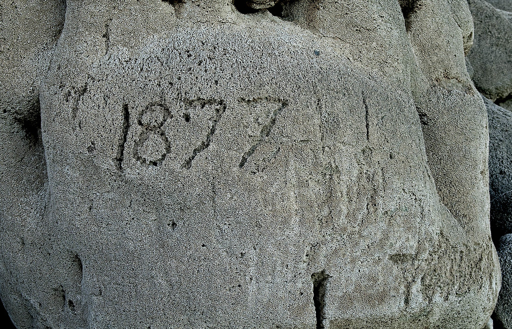
Indio Tufaglyphs5 by tomteske, on Flickr

Indio Tufaglyphs7 by tomteske, on Flickr
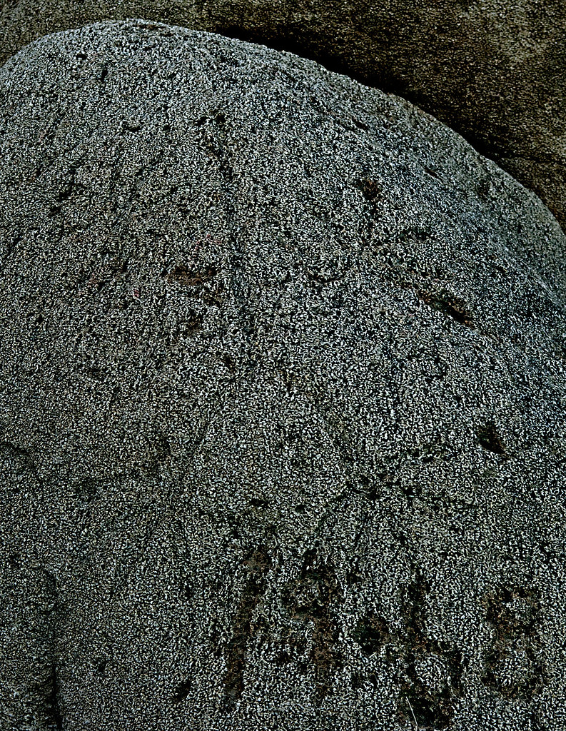
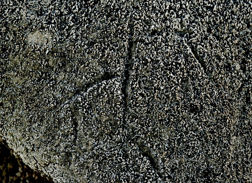
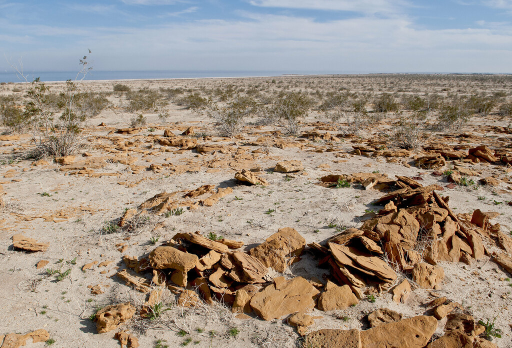
Maybe a mortero.
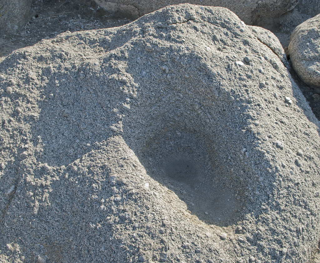
Maybe Morteros by tomteske, on Flickr
On the way back, stopped by Salton Sea Test Base. Have been out there once before looking for fish traps and sleeping circles. Combining a couple maps off the internet led to this rough estimate of some of their locations. The yellow dots are sleeping circles and the green are fish traps.
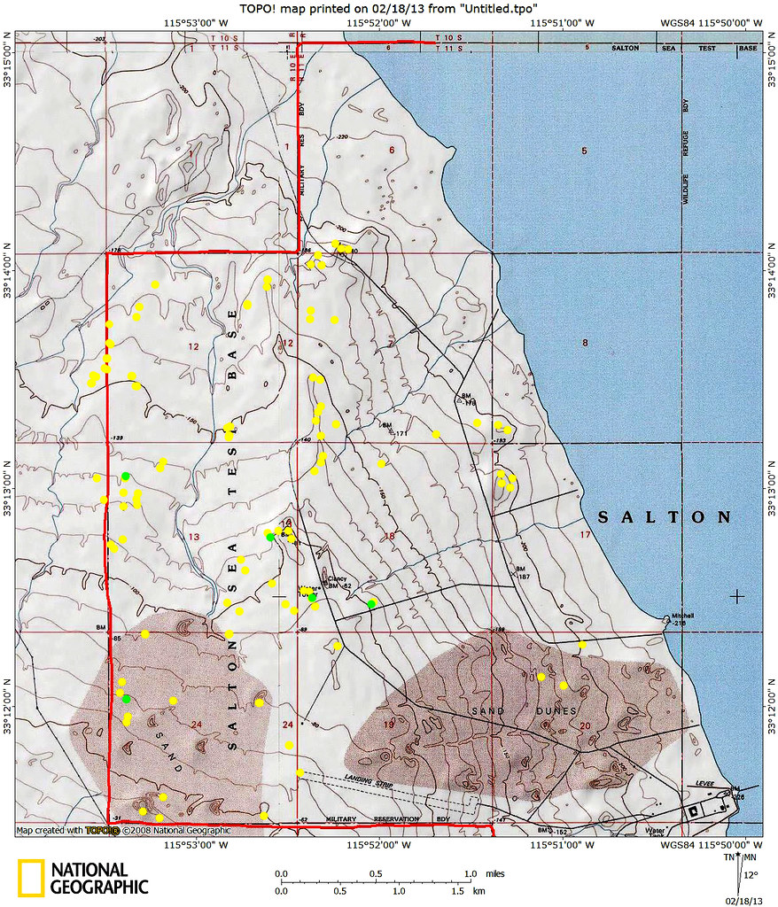
TOPO!map by tomteske, on Flickr
There's a lot of old structures still out there although most have been razed. Here's a couple of the pier in BW.
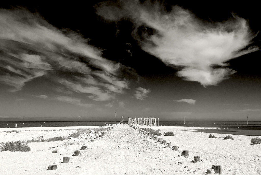
SSTB Pier by tomteske, on Flickr
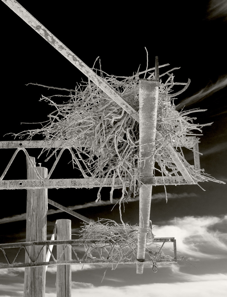
Two Nests2 by tomteske, on Flickr
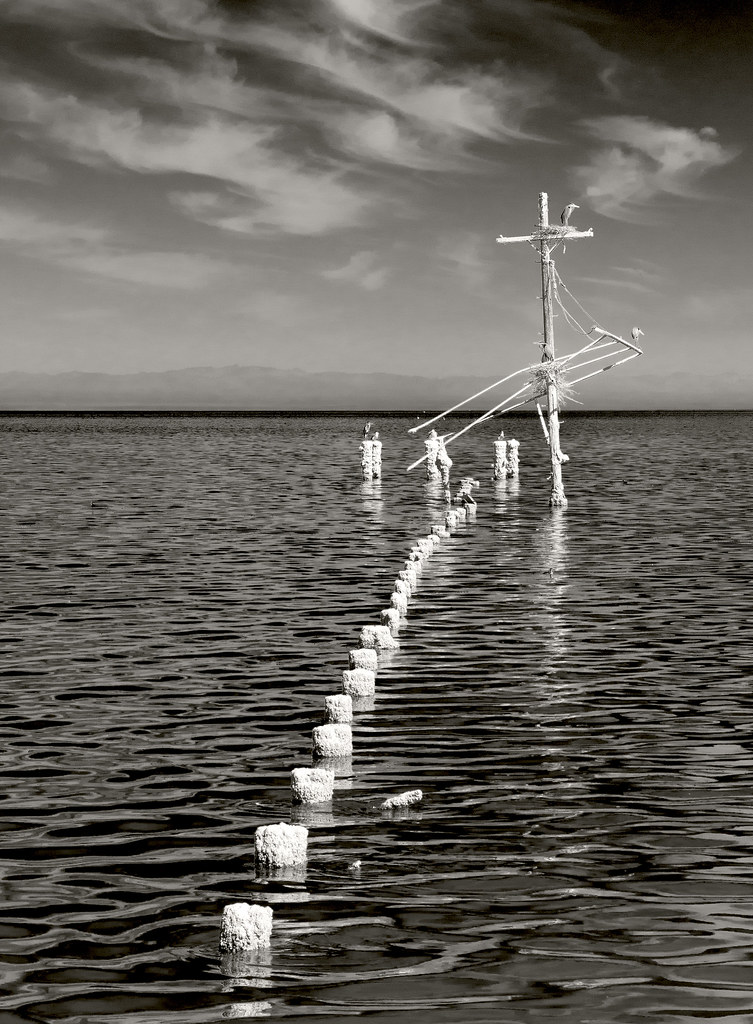
Pier by tomteske, on Flickr
Rusted out jeep dissolving into the ground.
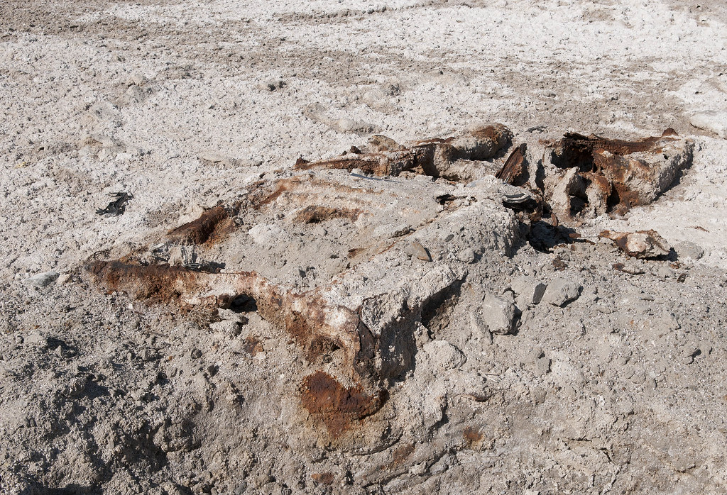
Jeep by tomteske, on Flickr
This guy was on the road heading north.
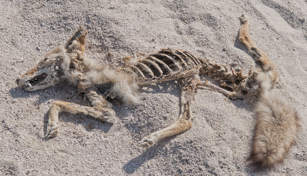
Coyote by tomteske, on Flickr
Finally, some camp circles.
Sleeping Circle by tomteske, on Flickr
SSTB Circles by tomteske, on Flickr
On the second trip out, finally found the iconic triangular fish traps.
SSTB Fish Trap by tomteske, on Flickr
SSTB Fish Trap2 by tomteske, on Flickr
Make sure and bring your 4X4 when you come out here since dunes have covered parts of the access road.
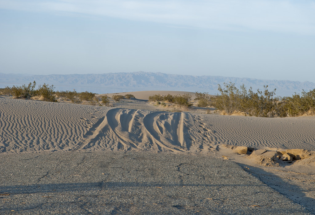
SSTB Road by tomteske, on Flickr
Time to head home. Enjoy. Tom
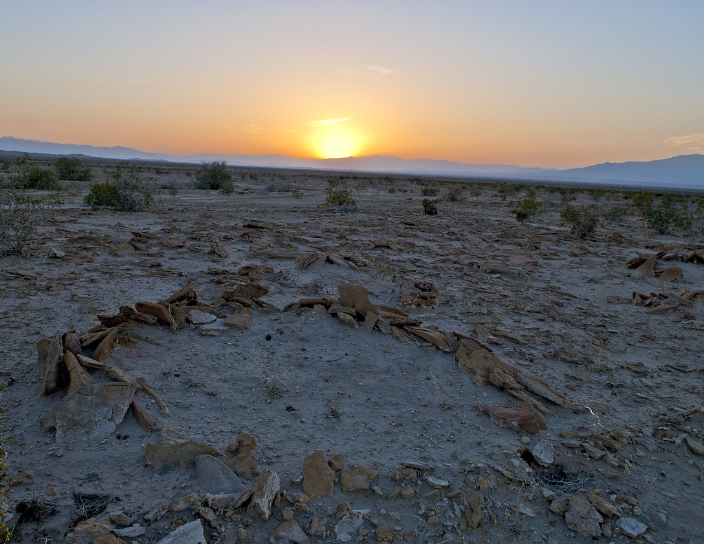
SSTB Sleeping Circle Sunset by tomteske, on Flickr
|