|
tommy750 Posts: 1086
4/14/2013
|
John Rocque is a cartographer most famous for his 24 sheet map of London published in 1747, by far the most detailed to date. This map is the only known depiction of an inland sea past the confluens of the Colorado and Gila Rivers. It's felt by many to be a depiction of Ancient Lake Cahuilla although I wonder if it could be Laguna Salada. The final infilling of the lake not counting modern times commenced about 1600 with the lake empty by about 1700.
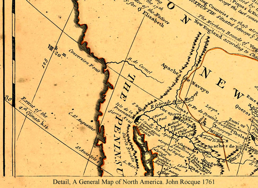
John Rocque A General Map of North America 1761 by tomteske, on Flickr
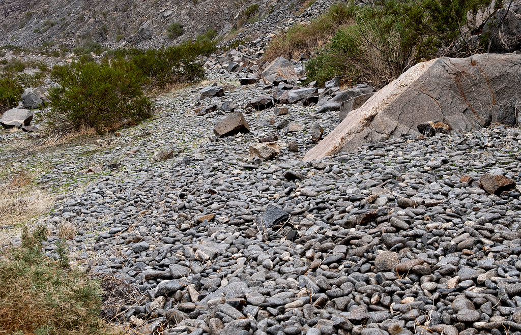
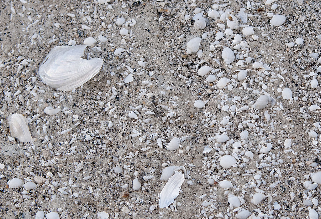
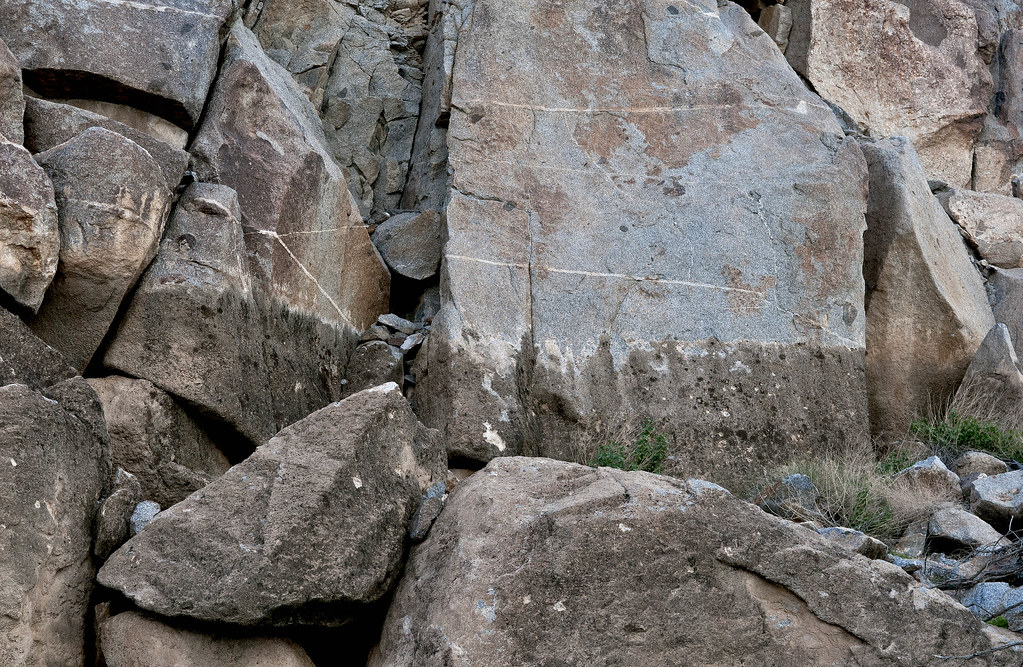
Decided to take a few trips out to the shoreline near Fish Creek Mts and see what was still there. Here's tumbled beach rock and shells in the middle of the desert. Pretty amazing.
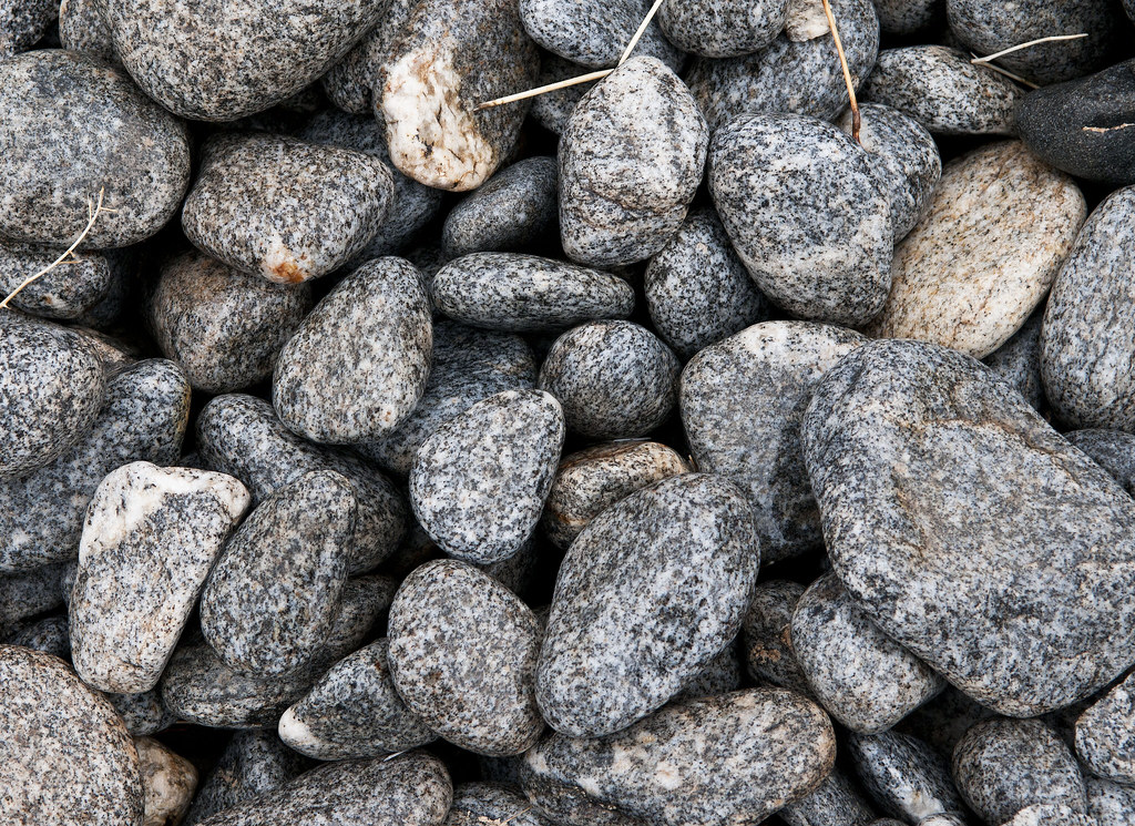
Polished Beach Rock by tomteske, on Flickr
Cahuilla Shoreline3 by tomteske, on Flickr
Cahuilla Beach by tomteske, on Flickr
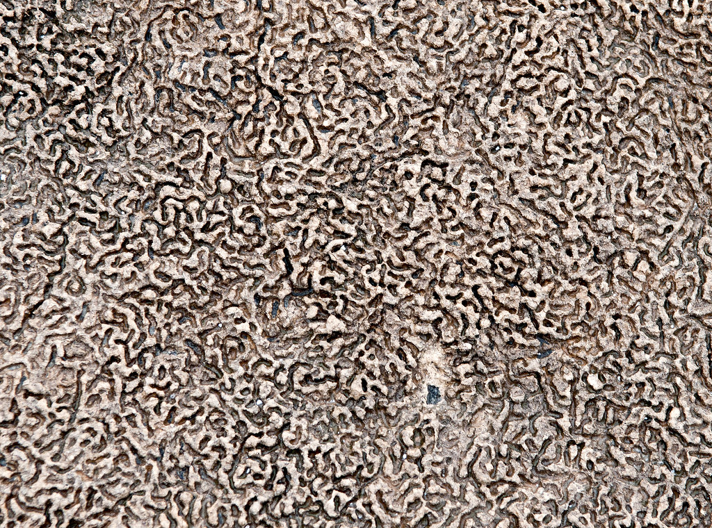
Up close, most of the rock is covered by a layer of tufa with a worm eaten appearance.
Tufa Line by tomteske, on Flickr
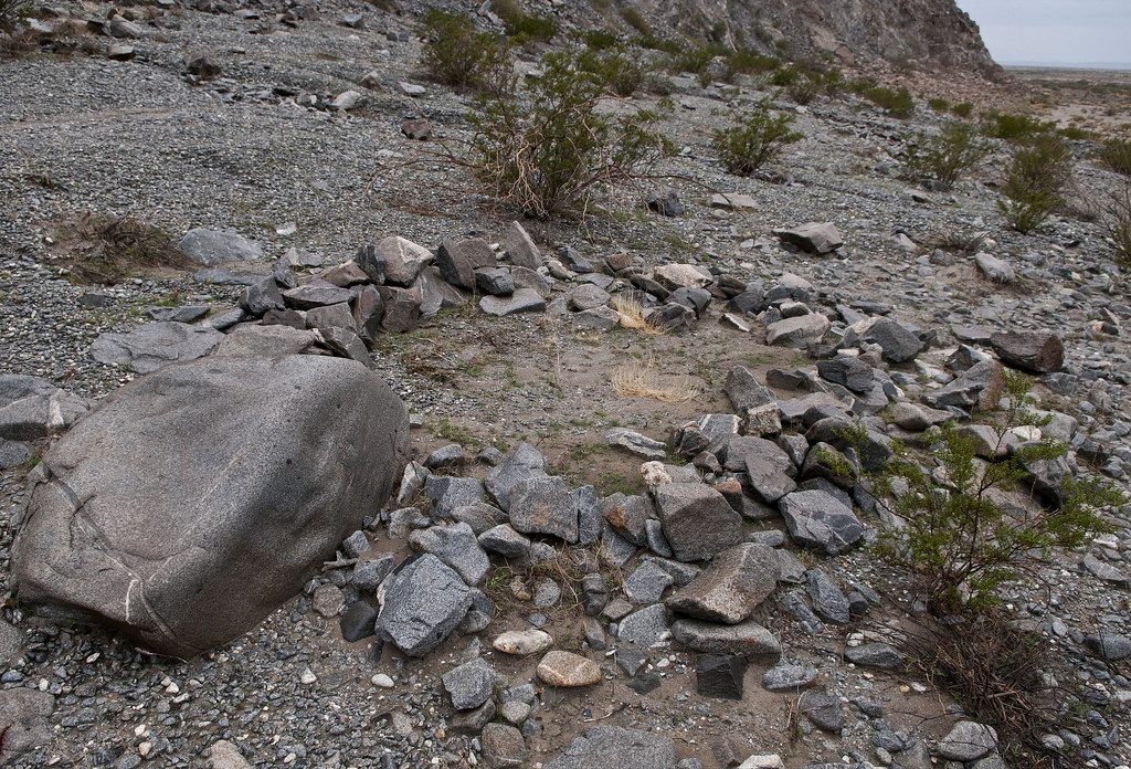
Cahuilla Concretions by tomteske, on Flickr
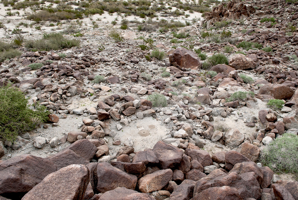
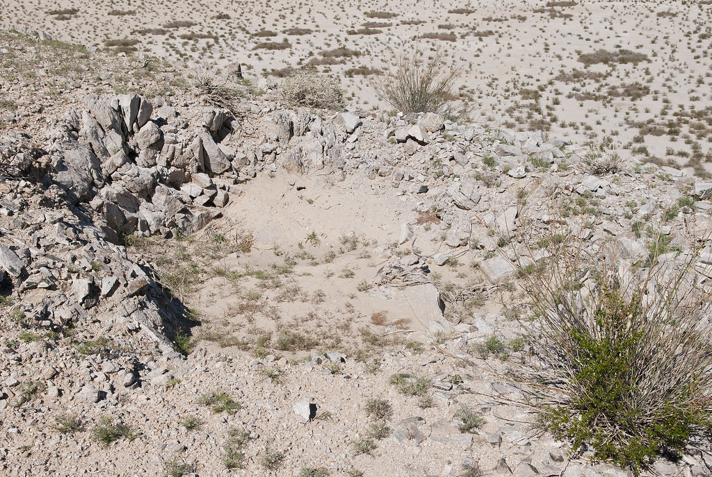
A number of circles are found on the actual shoreline and overlooking it. Thought they might be fish traps like Indio, but some look more like sleeping circles with clear floors. Not sure.
Fish Trap2 by tomteske, on Flickr
Middle Sleeping Circles by tomteske, on Flickr
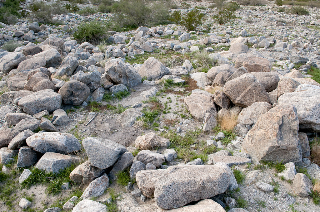
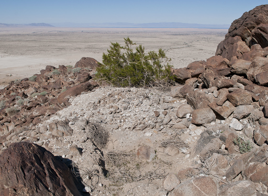
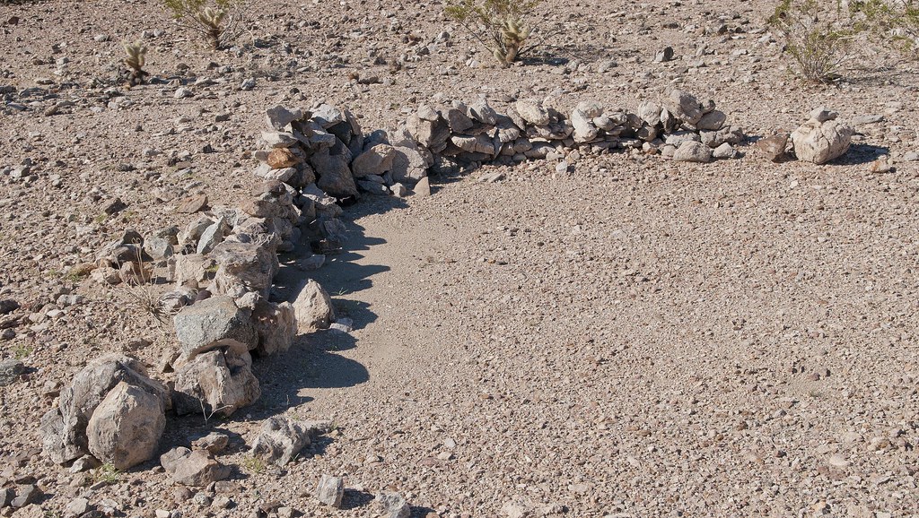
Above the shoreline in an alluvial fan, I found 10-20 circles in a group.
Sleeping Circles by tomteske, on Flickr
Another site up the shoreline had multiple circles and evidence of a previous archaeological investigation.
North Sleeping Circles by tomteske, on Flickr
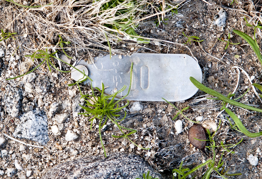
IVC 10 by tomteske, on Flickr
Back home, I noticed a trail arising from this last campsite and heading up into the Fish Creek Mts. Figured it was an old Indian trail and worth another trip.
Fish Creek Trail by tomteske, on Flickr
Here's the trail a couple hundred yards up.
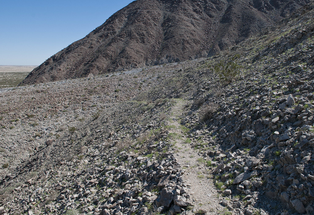
Trail by tomteske, on Flickr
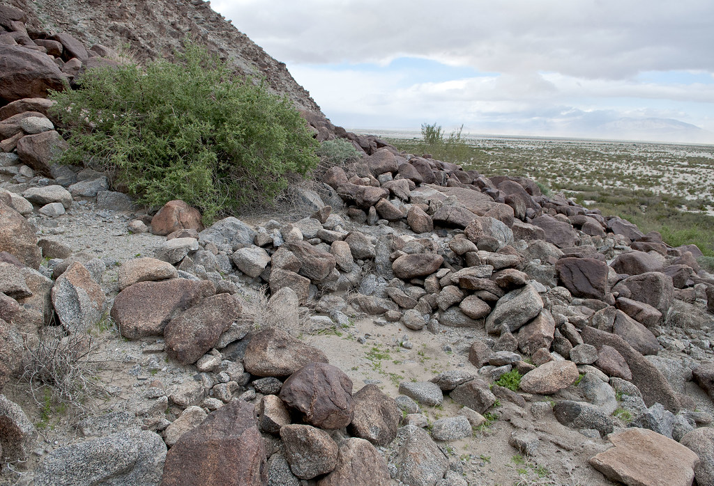
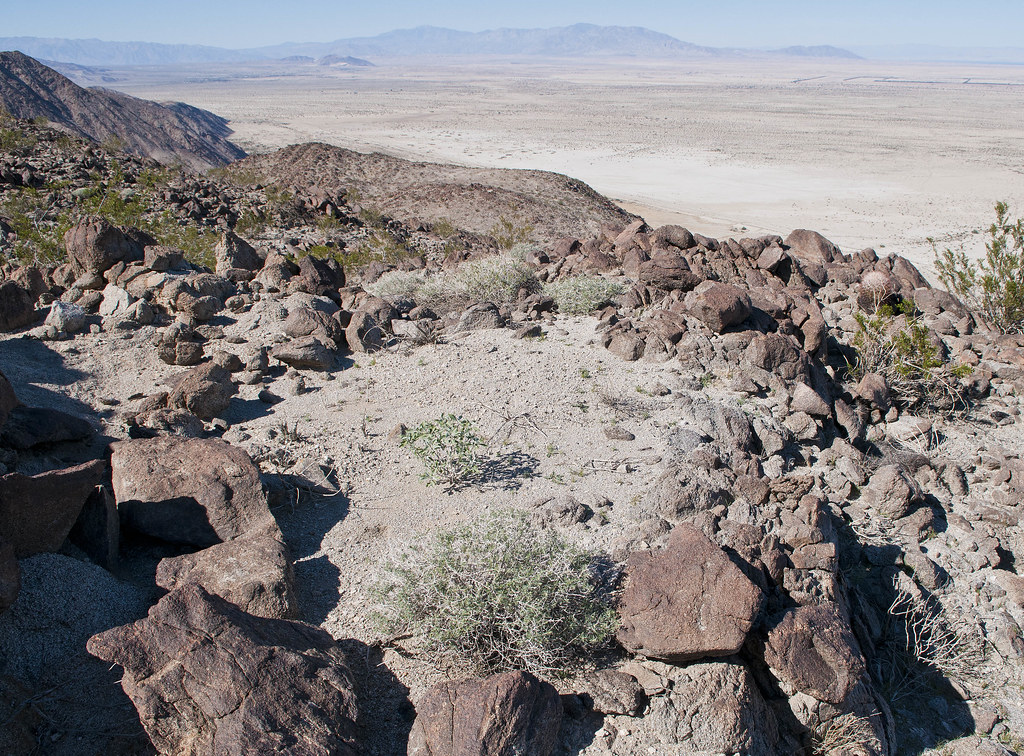
Higher up the trail, a nice view of the shoreline looking toward The Santa Rosas.
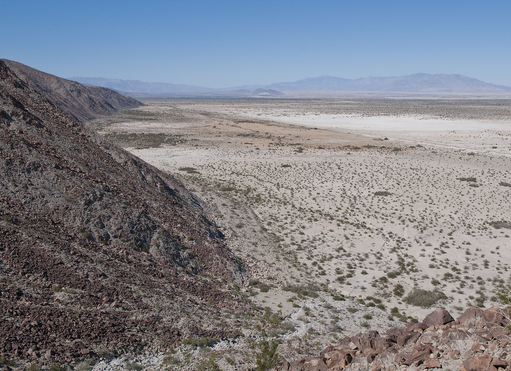
Cahuilla Beach by tomteske, on Flickr
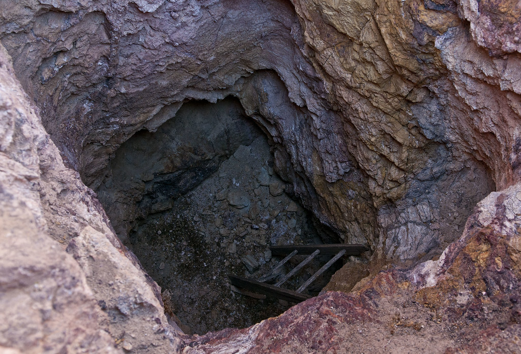
Found a pottery sherd so started thinking this definitely was an old native trail. Then I found several mine pits and realized it was actually an old mining trail.
Mine Pit1 by tomteske, on Flickr
Mine Pit by tomteske, on Flickr
However, found some sleeping circles higher up just off the trail, so who knows.
Two Sleeping Circles by tomteske, on Flickr
The only petroglyph I saw 
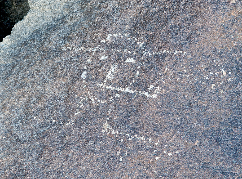
The Pipe by tomteske, on Flickr
On top, several mines. Not sure what they were mining but some of the tailings had pretty colors.
Mine2 by tomteske, on Flickr
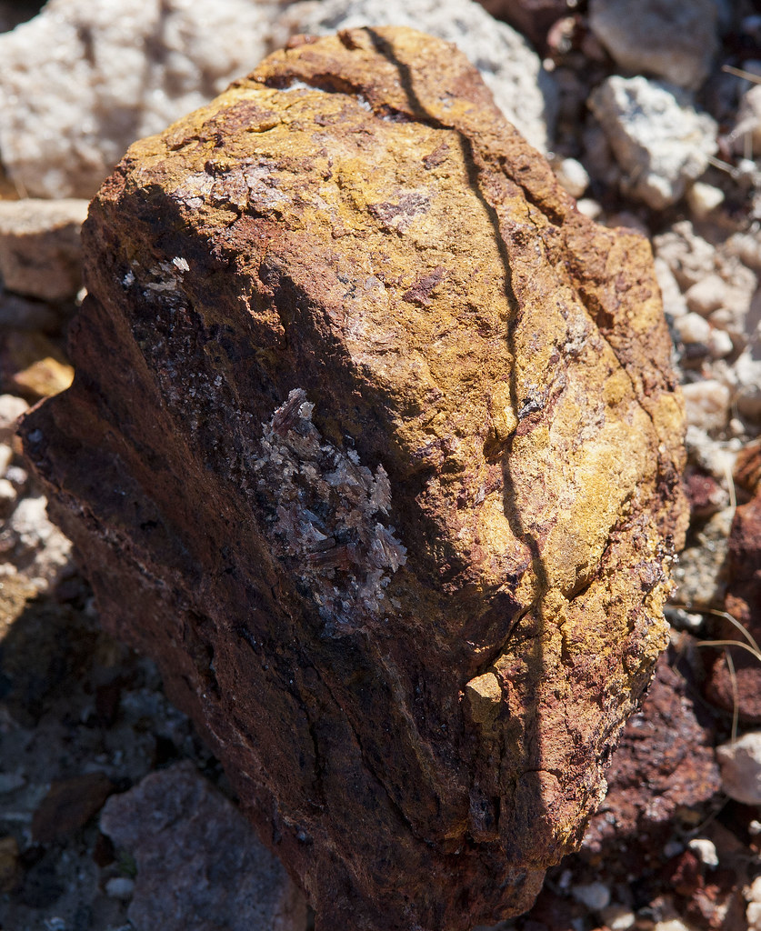
Mine2 Tailings by tomteske, on Flickr
Old windbreak maybe for a tent since no ruins were seen. Lots of old tin cans were strewn about.
Mine1 Windbreak by tomteske, on Flickr
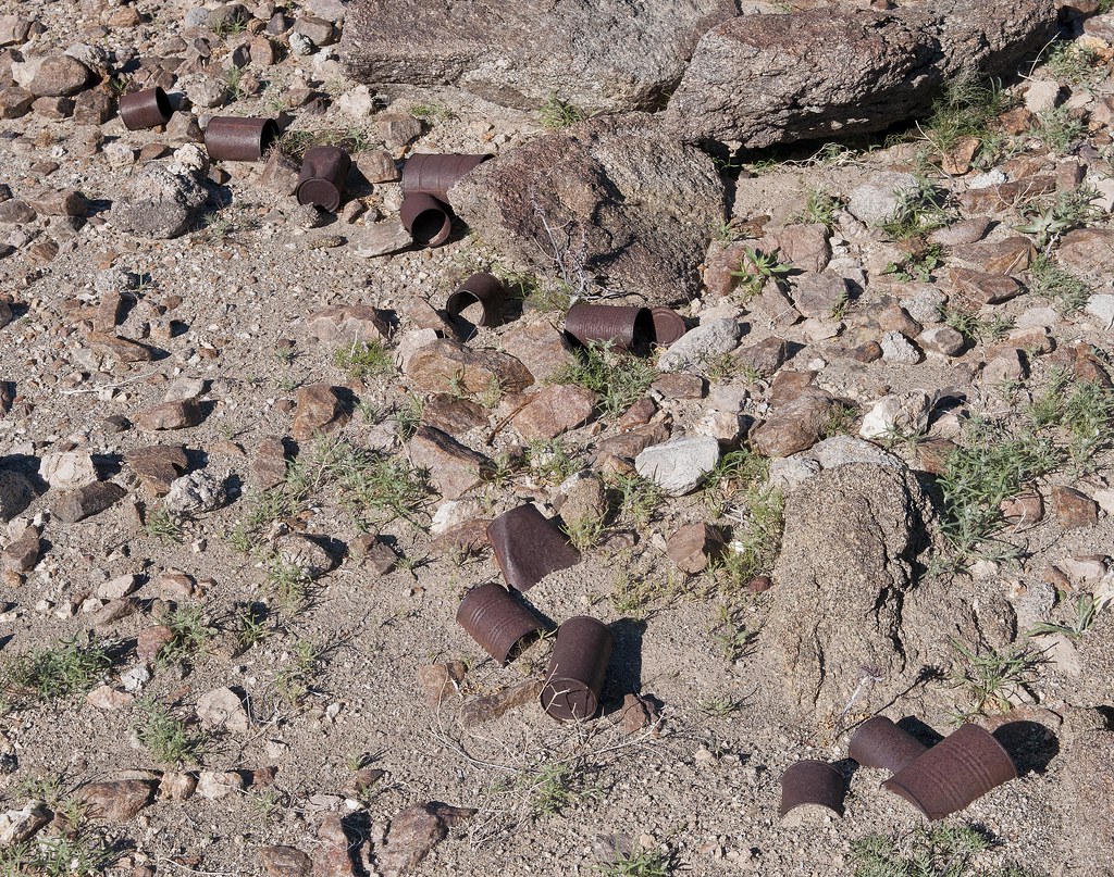
Mine1 Cans by tomteske, on Flickr
Headed further West and came across this in an isolated canyon. Is this what they mean by a "pot drop" as in dropped pot? Think you could piece this olla back together.
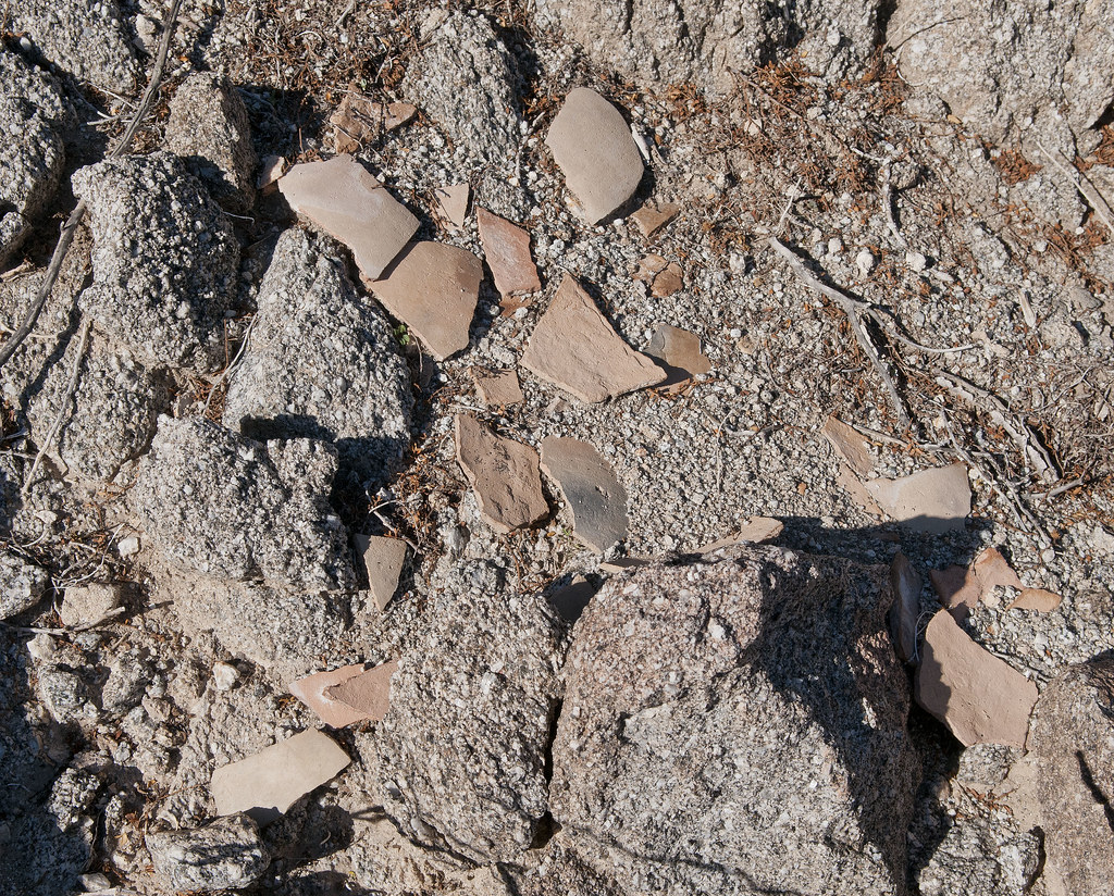
Olla by tomteske, on Flickr
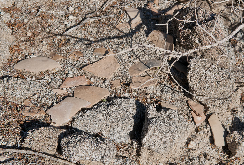
Olla2 by tomteske, on Flickr
A few feet further, a view of BM Eagle in the foreground. The little clearing is the start of Red Rock Canyon to the right and a tributary of Barrett Canyon to the left.
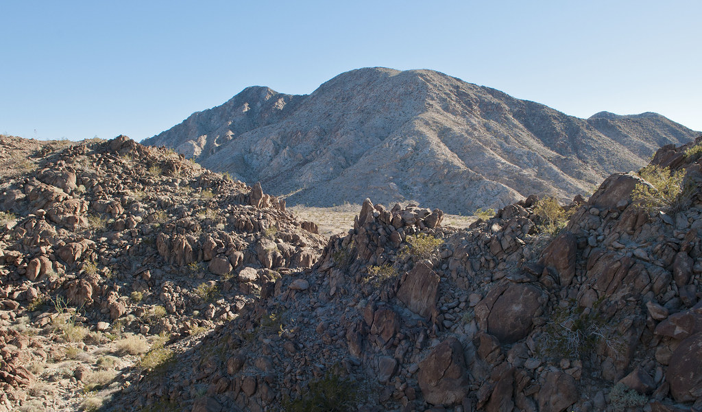
Toward BM Eagle by tomteske, on Flickr
The only traces of ordinance I found on top.
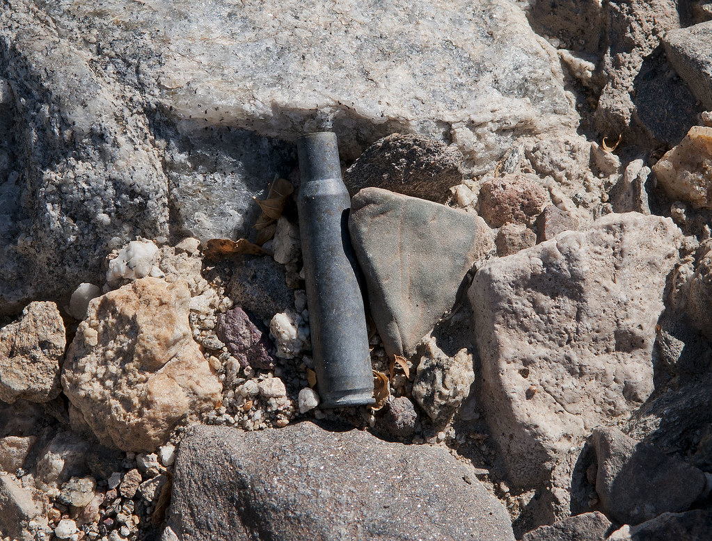
Shell by tomteske, on Flickr
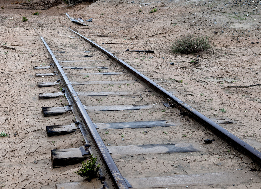
At the Eastern flank of Fish Creek Mts, the US Gypsum mining railroad is still quite active. There are several old spurs on the West side of the tracks in areas that look like beach rock was being mined.
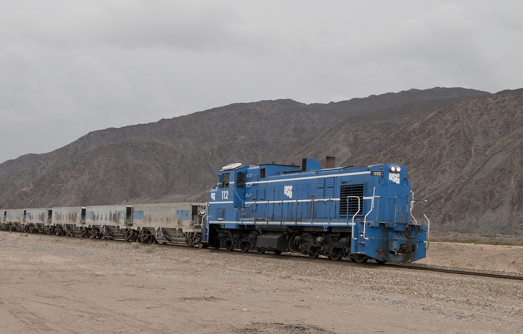
USG Train by tomteske, on Flickr
Mining Railroad by tomteske, on Flickr
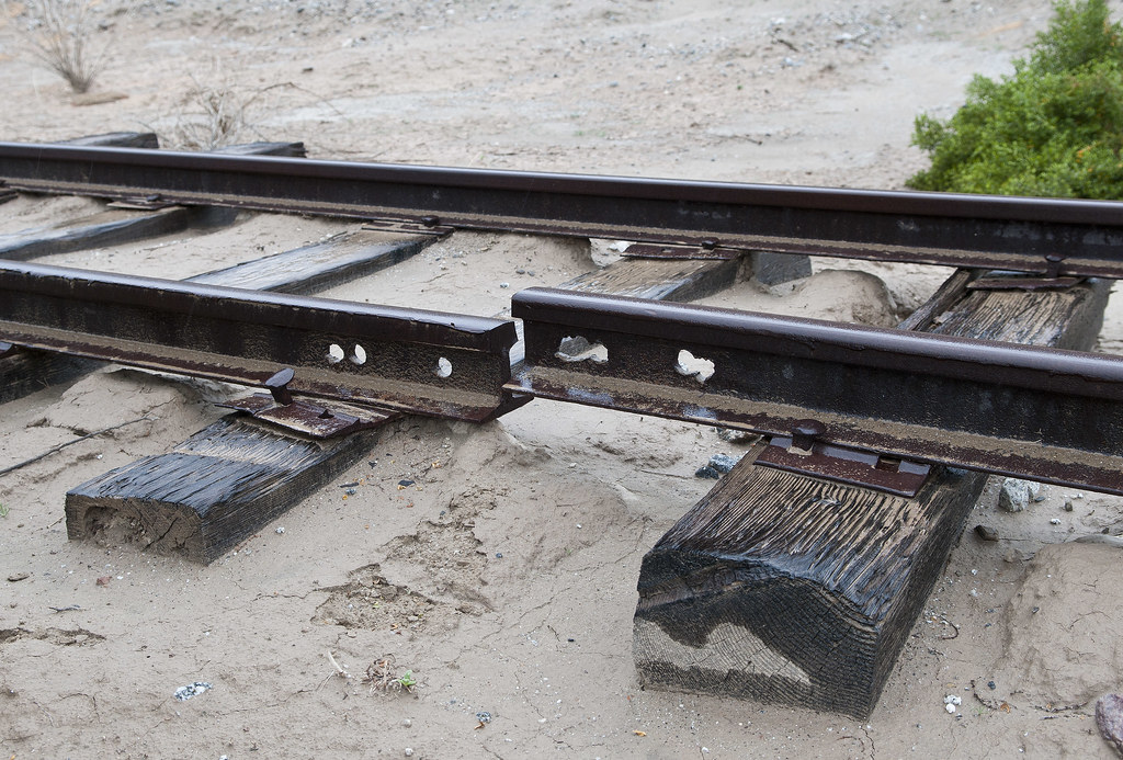
Broken Rail by tomteske, on Flickr
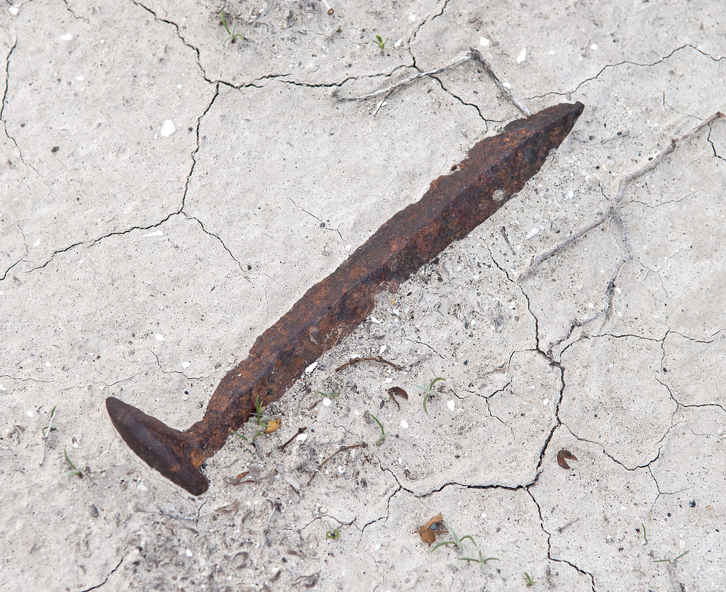
Fish Creek Mts Spike by tomteske, on Flickr
The trestle at Carrizo Creek. Was surprised to see one of the graffiti artists is a client of mine. Tisk, tisk! Enjoy you weekend.
P.S. I promise to never post on Lake Cahuilla again! Tom
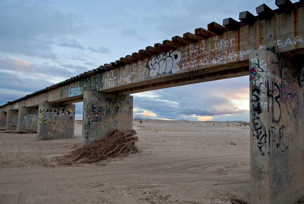
The Bridge by tomteske, on Flickr
|