Talk about a trip you took out to Anza Borrego
Upper Fish Creek
|
tommy750 Posts: 1086
9/29/2013
|
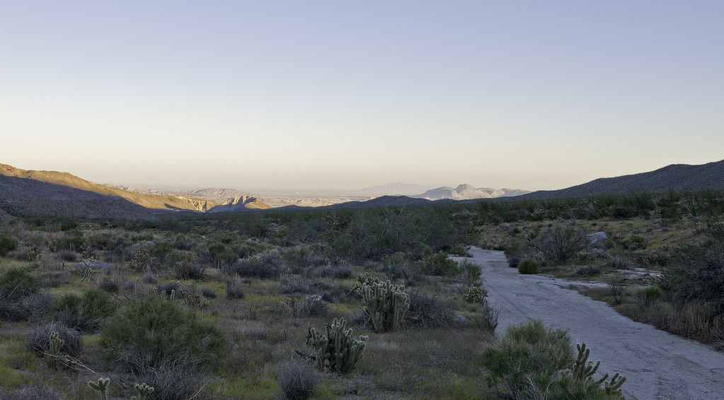
Wanted to see if we could make it all the way to the Pinyon Dropoff yesterday. Only made it to Hapaha Flat where it descends into Pinyon Wash before getting the "it's way past turn-around time" evil eye from my driving buddy. We started at Plaster City so it was already over 50 miles off road. Passed the ranger near Elephant Knees and he said there had been seven flash floods in the last couple months. Really green in Olla Wash and Hapaha Flat area. Lots of flowers, insects and grasses. Fish Creek above Olla Wash was much smoother than I recall but still had some large rocks in areas that added a few more scrapes to the Tundra underbelly. There were no tire tracks past Dave McCain Spring with the road a channelized stream bed.
Olla Wash Ocotillos. My friend Amy noticed the ocotillos are really straight and vertical or really convoluted. Some genetic difference? Who knows.
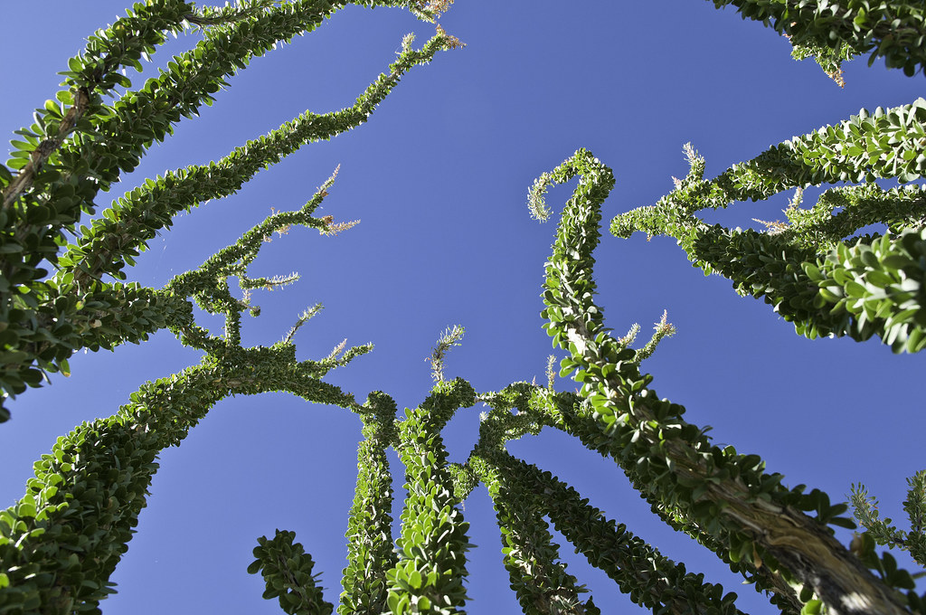
Olla Wash Ocotillos by tomteske, on Flickr
Upper Fish Creek tight spot.
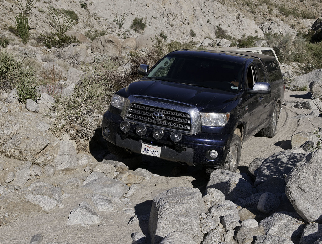
Upper Fish Creek Squeeze by tomteske, on Flickr
Right next to the road, a rock seemed to have a strange motion. Not sure why that rock was special but you'd think the zillion lizards out there would have found it.
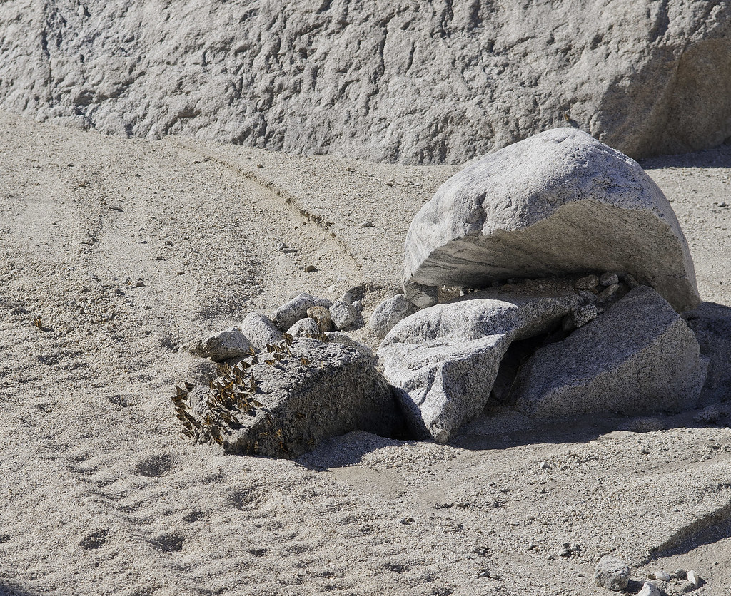
Butterfly Rock3 by tomteske, on Flickr
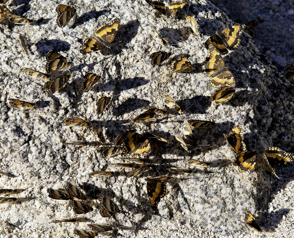
Butterfly Rock by tomteske, on Flickr
Still a few faded glyphs at Split Rock.
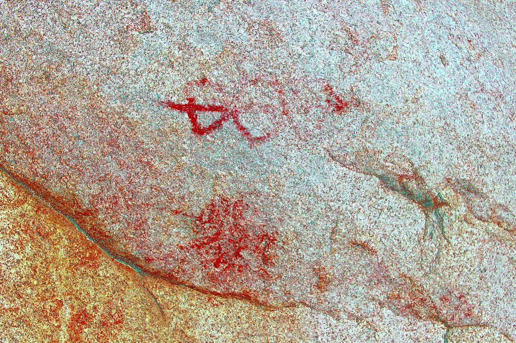
Split Rock Picto_yrd by tomteske, on Flickr
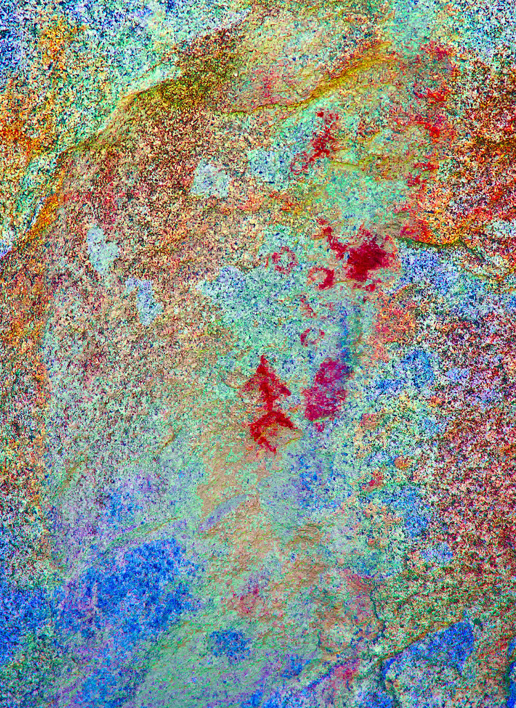
Split Rock Picto2_lxx by tomteske, on Flickr
Not sure if this is a picto or a historical graffito in the bottom center.
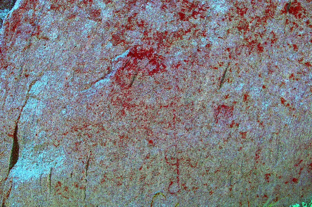
Split Rock Picto3_yrd by tomteske, on Flickr
Caterpillar.
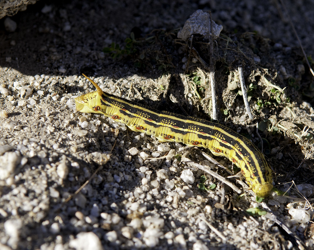
Catepillar by tomteske, on Flickr
Heading home. Enjoy. Tom
Few more pics at: http://www.flickr.com/photos/tommy750/sets/72157636002082846/
Hapaha Flat2 by tomteske, on Flickr
|
|
|
link
|