Talk about a trip you took out to Anza Borrego
Smoke Tree Canyon / Calcite Mine Area
|
dsefcik Administrator Posts: 2634
12/30/2010
|
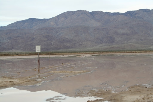
So the first week of winter break was a disaster with the weather but the Sunday after Christmas I packed up and got out of dodge as fast as I could. I was gonna backpack into Rockhouse canyon but as my luck seems to be I could not. Clark "Dry" Lake was flooded and the road was not passable beyond the rock crushing machine. It was getting dark and I needed to camp out somewhere so I kept driving east. I did not camp near CDL because there were already a ton of people, mostly RV's out there. Most of the washes east of CDL were also all muddy and not car friendly looking, there was a jeep stuck floorboard deep on the shoulder at Fonts Point, 2 other jeeps were winching him up and trying to pull him out...3 feet from the road. Goes to show you that anyone can get stuck anywhere, doesn't need to be way off in the back country roads somewhere. I rolled into Arroyo Salado campground and made camp just as it was getting dark. I ended up camping here for 3 nights before driving home Wed morning just as it started to rain heavily.
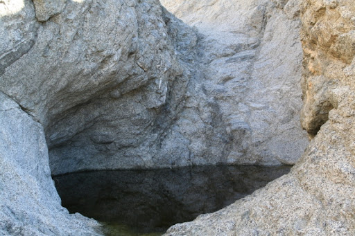
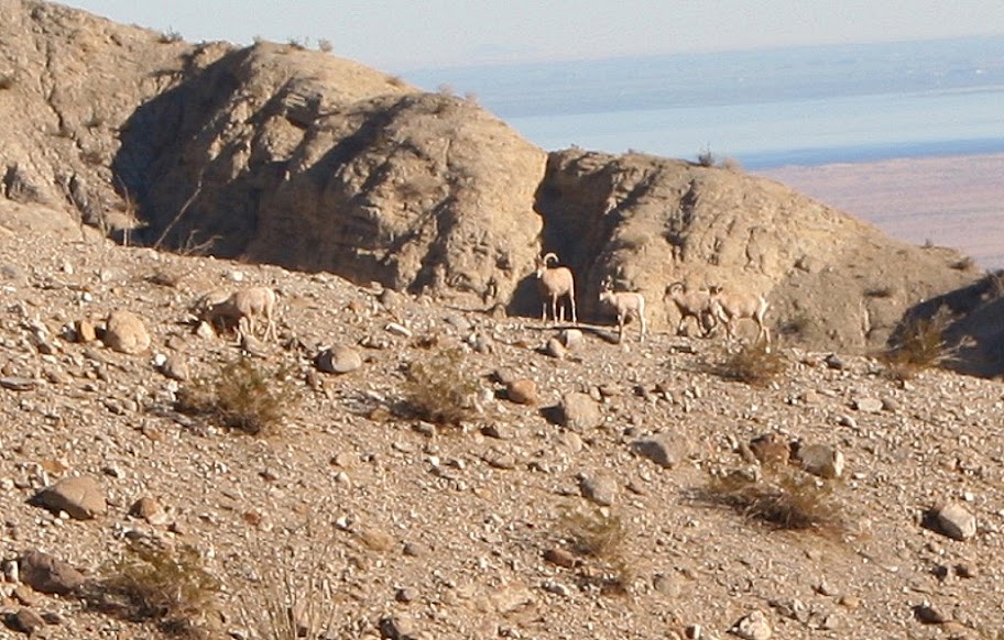
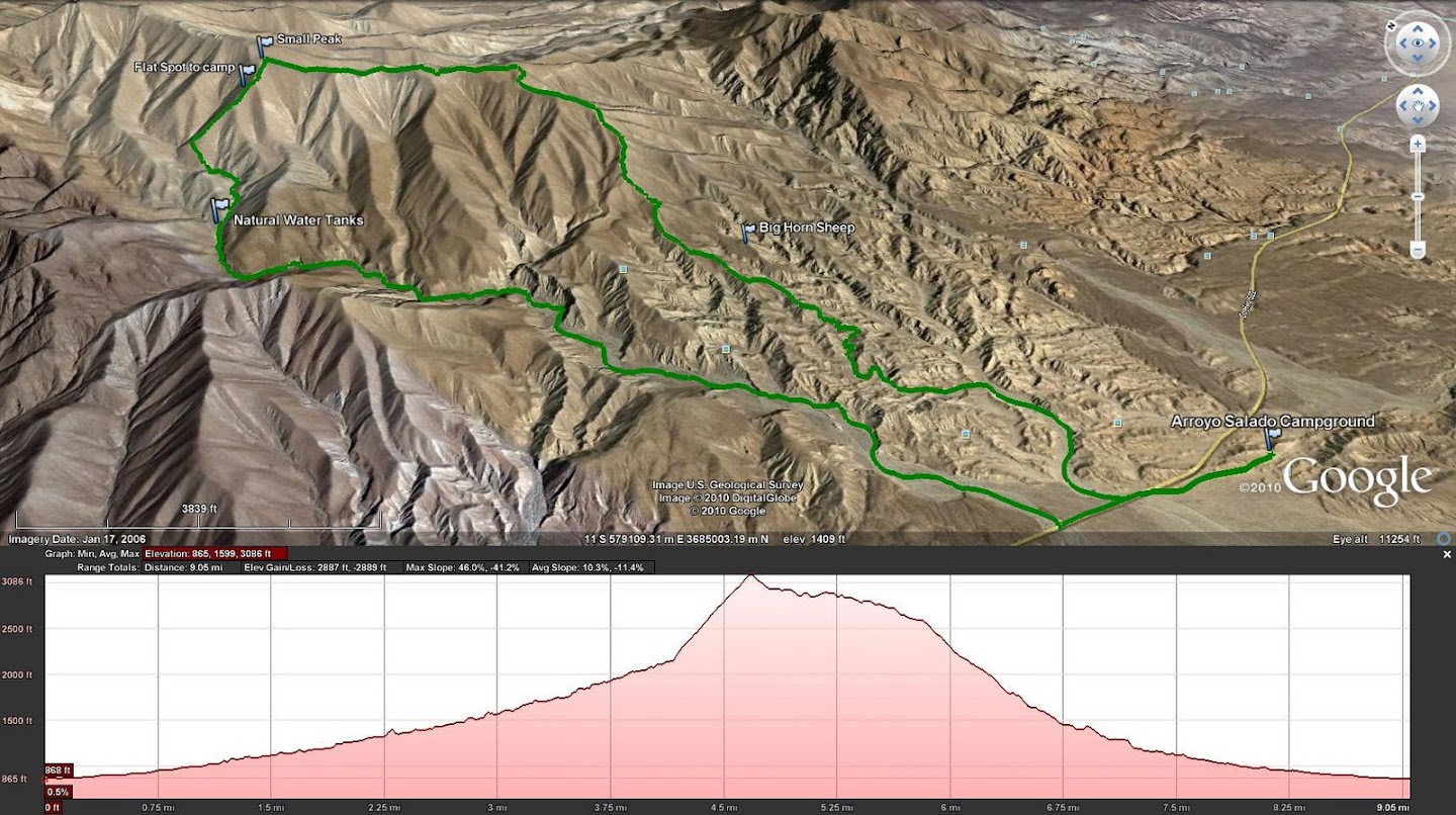
Monday I hiked hiked up Smoke Tree Canyon to check out the Natural Water Tanks (or "Tinaja" as some say) and then free styled it up an unknown peak and back down thru Coachwhip Canyon. This was a great hike of about 10 miles and as a bonus I saw a herd of Bighorn Sheep. It looked like 3 adults and 2 younger ones. The views were awesome from the peak (which I believe was right next to Pyramid Peak). Tuesday I hiked out near the Calcite Mine area and thru one of the slot canyons. I returned back down thru Palm Wash and more slot canyons.
This was the most time I have spent in the north half of ABDSP and 2 things I noticed immediately:
1. No Border Patrol
2. A lot more people, especially the RV and OHV crowd
It was a great trip and I can see tons of great hiking possibilities all thru the Santa Rosa Mtn areas. I also decided to borrow a Canon DSLR from a friend on this trip, while I do not have anywhere near the talent Andy has I tried my best to snap off a few good photos. Without this camera I would not have been able to photograph the Bighorn sheep.
Here are a few pics from the trip;
Clark "Dry" Lake road
Tinaja in Smoke Tree Canyon
Bighorn Sheep on the ridge across from where I was, there are 5, 3 adults and 2 young ones
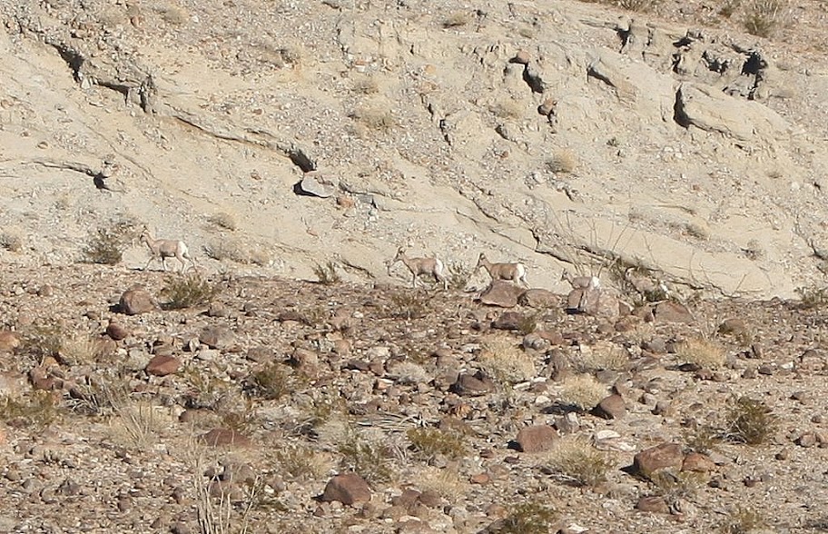
Bighorn Sheep as they mosied off up the hill
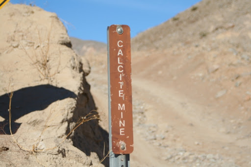
Calcite Mine Rd sign
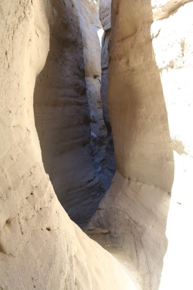
Slot Canyon near Calcite Mine
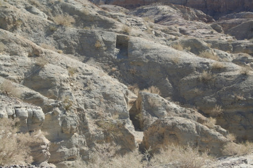
Deep gouges in the earth from the Calcite mining operations during WWII
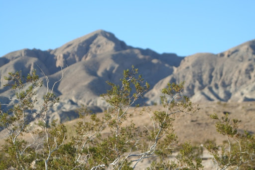
Some Creosote and a view of Travelers Peak from the Calcite Mine road
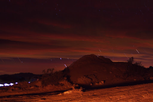
My feeble attempt at star trails from the campground, I had to use 30 second exposures and then then stack them together in a photo editor program. The bright amber lighting is from my campfire blazing behind me and the bright light on the lower left is from a late night camper driving thru camp
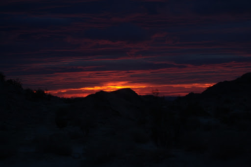
Sunrise Wed morning, the clouds were rolling in all night and it started raining by early AM
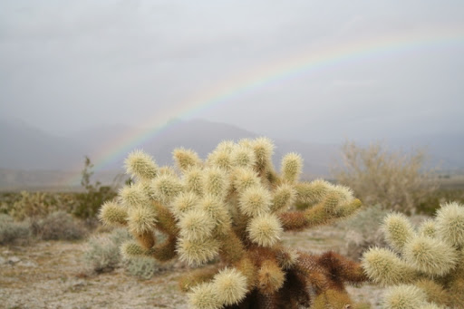
A little cactus and rainbow near the Vallecito Mtns on my drive home
GPS route of the Smoke Tree Canyon Hike
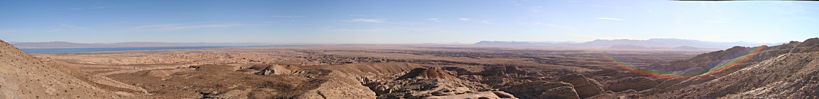
Panorama of the Salton Sea and Borrego Valley from the "Locomotive" rock near the Calcite Mine
--
<em>edited by dsefcik on 12/30/2010</em>
--
http://www.sefcik.com
http://www.darensefcik.com
http://www.carrizogorge.com
|
|
|
link
|