|
tommy750 Posts: 1086
3/29/2013
|
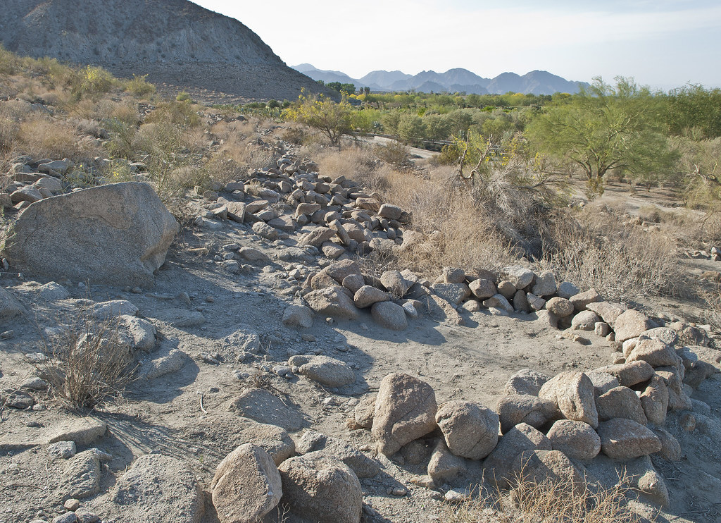
The Indio Fish Traps and petroglyphs are one of those archaeology sites marked on your topo map and definitely worth visiting. Created on the receding rocky shoreline of Ancient Lake Cahuilla, the traps are all well below the maximum lake height. Based on the degree of tufa deposition and recovered artifacts, they were probably created about 400 years ago with the last complete infilling of the lake. Decided to take the drive out last Sunday and stop by Salton Sea Test Base on the way back.
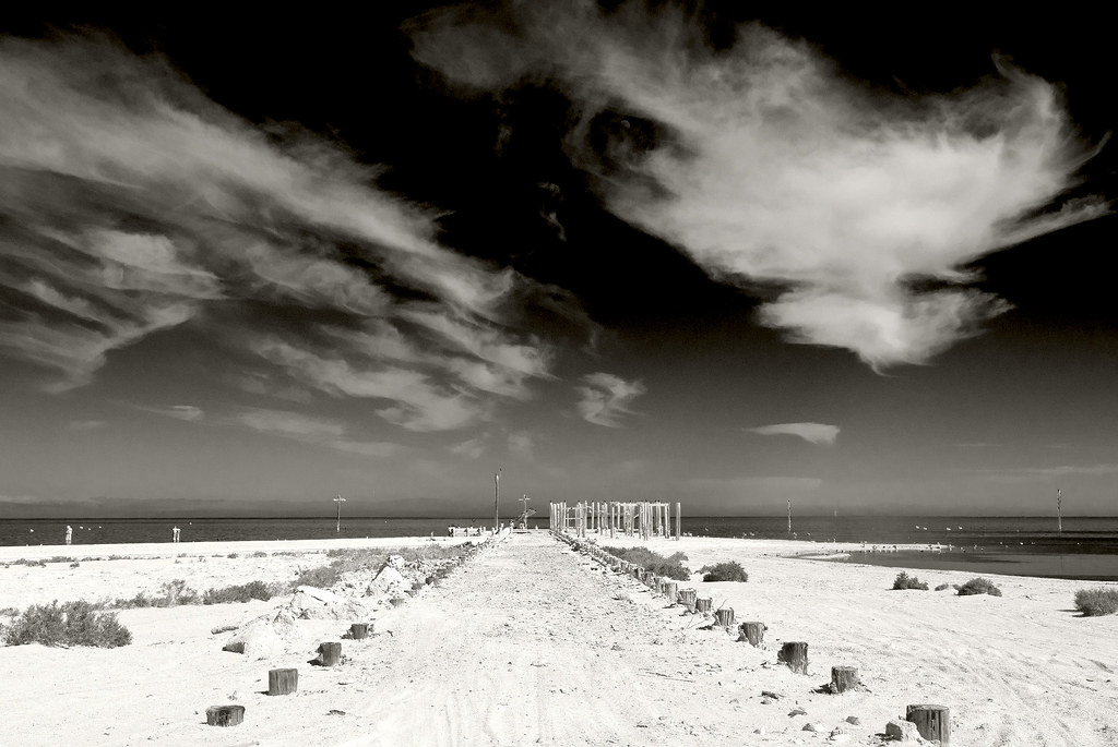
Here's a view northward along the shoreline.

Indio Fish Traps Vista by tomteske, on Flickr
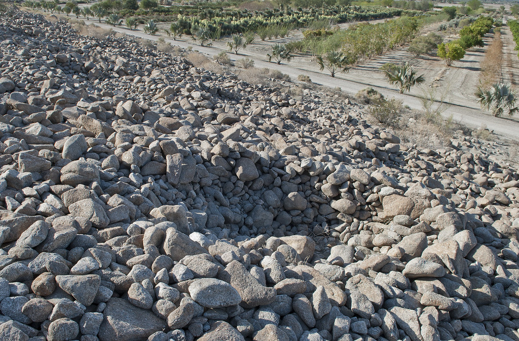
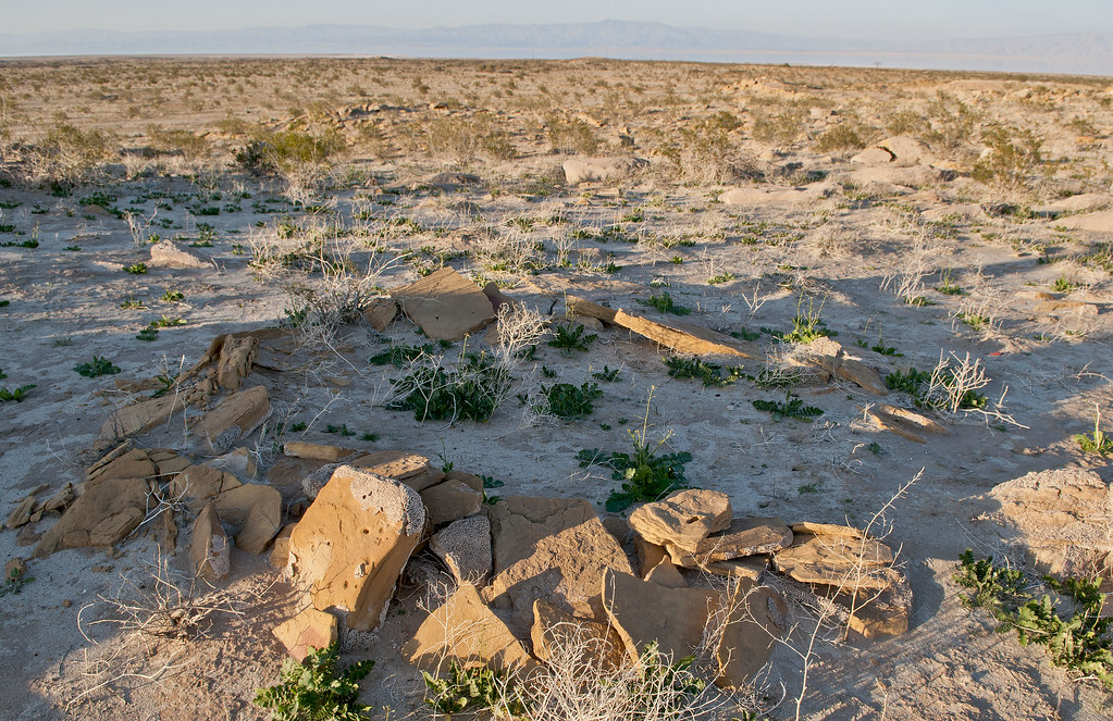
There's several rows of traps and some of them that are farther south look like sleeping circles but simply may be filled in.
Indio Fish Traps by tomteske, on Flickr
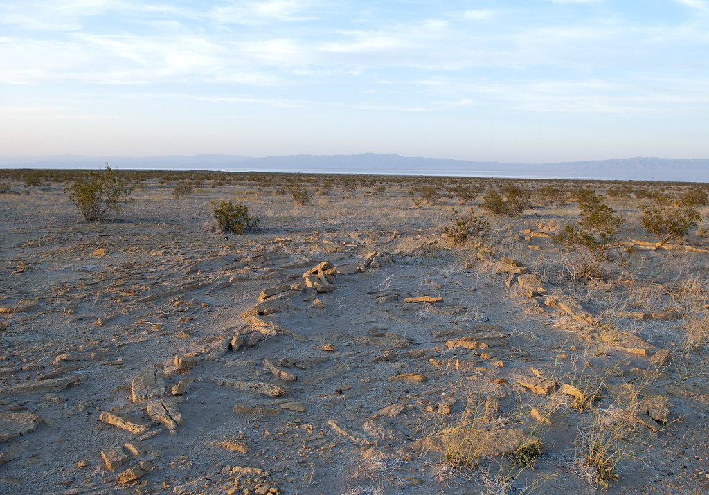
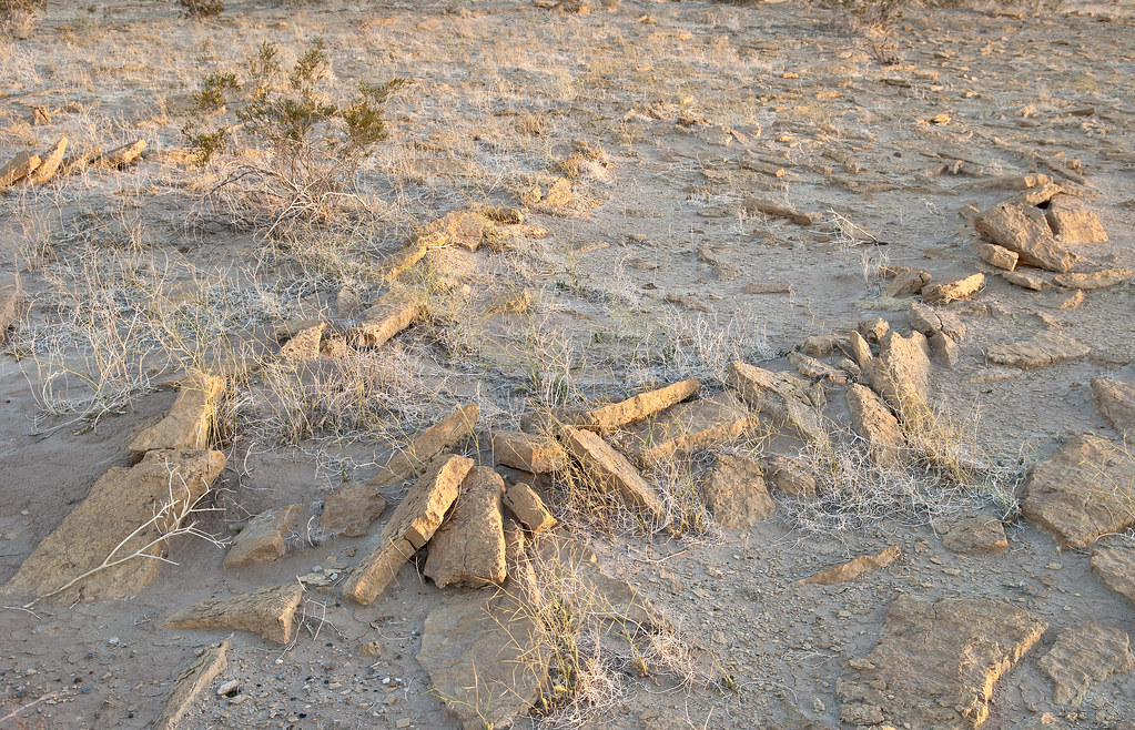
Farther north on the very rocky shore, the rather deep traps.
Indio Fish Traps2 by tomteske, on Flickr
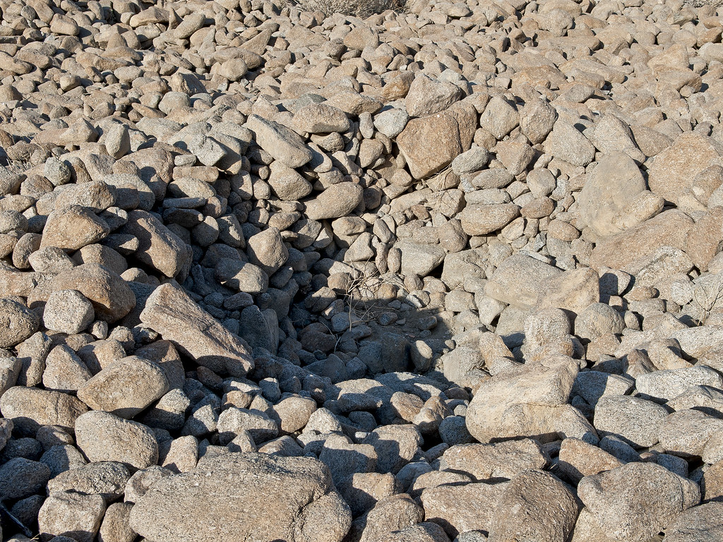
Indio Fish Trap by tomteske, on Flickr
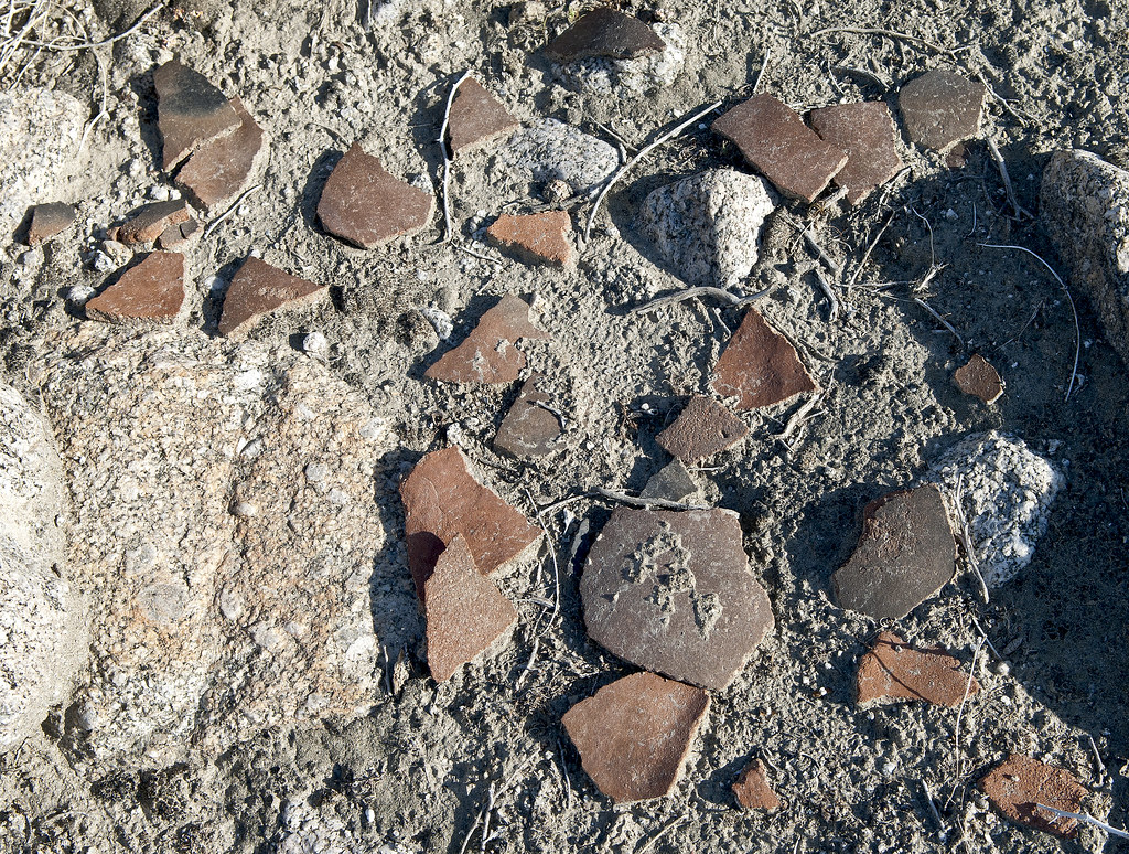
Didn't really find any pottery till stumbling on this one area.
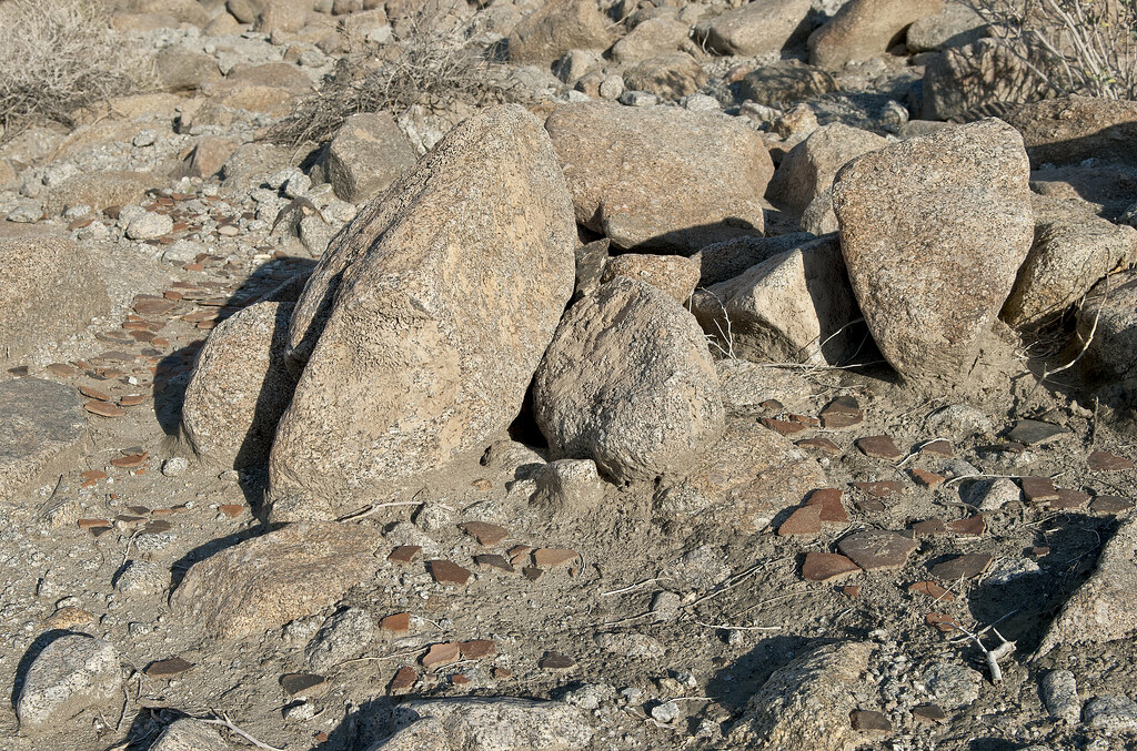
Indio Sherds by tomteske, on Flickr
Vaguely remember reading an article stating someone dumped a bunch of artifacts at this site that were not native for unclear reasons but now I can't seem to find the reference.
Indio Sherds2 by tomteske, on Flickr
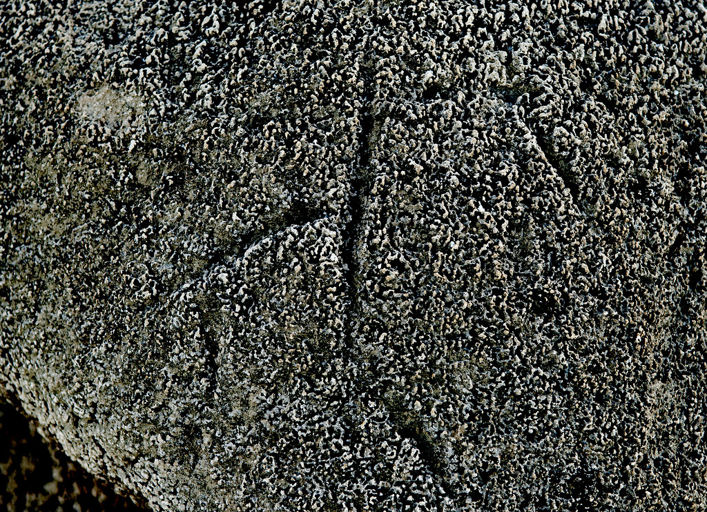
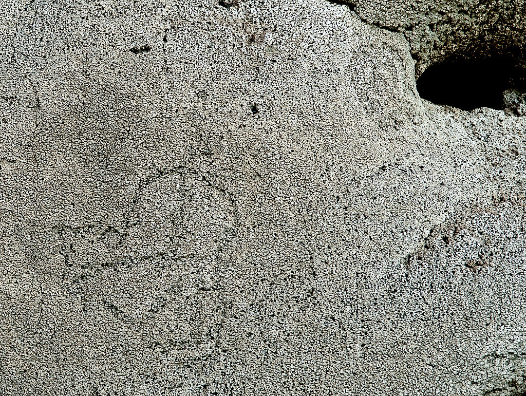
Further south are petroglyphs carved into the tufa coating which are heavily damaged with graffiti. Here's a faint digitate anthromorph.
Indio Digitate Anthromorph by tomteske, on Flickr
More petroglyphs.
Indio Tufaglyph9 by tomteske, on Flickr
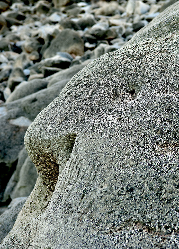
Indio Tufaglyphs by tomteske, on Flickr
Indio Tufaglyphs2 by tomteske, on Flickr
Lots of graffiti
Indio Tufaglyphs5 by tomteske, on Flickr

Indio Tufaglyphs7 by tomteske, on Flickr
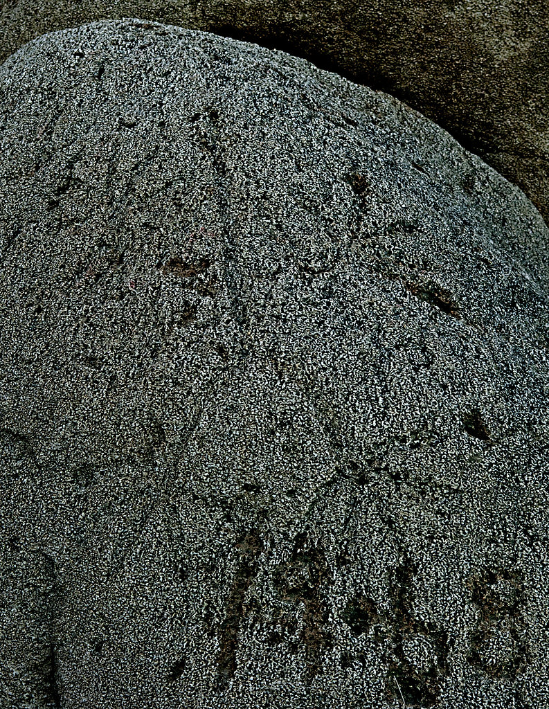
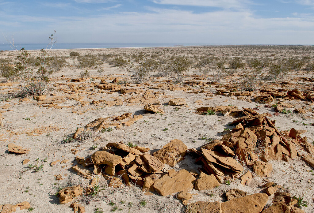
Maybe a mortero.
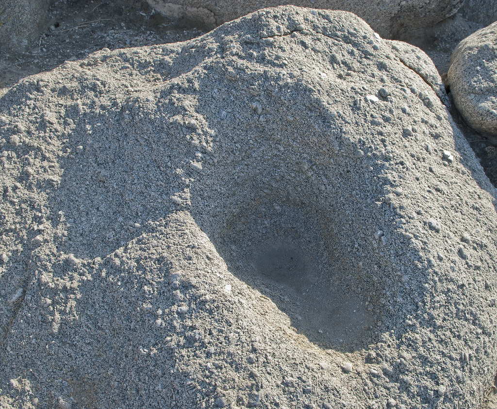
Maybe Morteros by tomteske, on Flickr
On the way back, stopped by Salton Sea Test Base. Have been out there once before looking for fish traps and sleeping circles. Combining a couple maps off the internet led to this rough estimate of some of their locations. The yellow dots are sleeping circles and the green are fish traps.
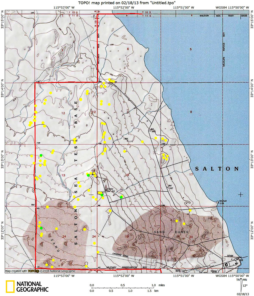
TOPO!map by tomteske, on Flickr
There's a lot of old structures still out there although most have been razed. Here's a couple of the pier in BW.
SSTB Pier by tomteske, on Flickr
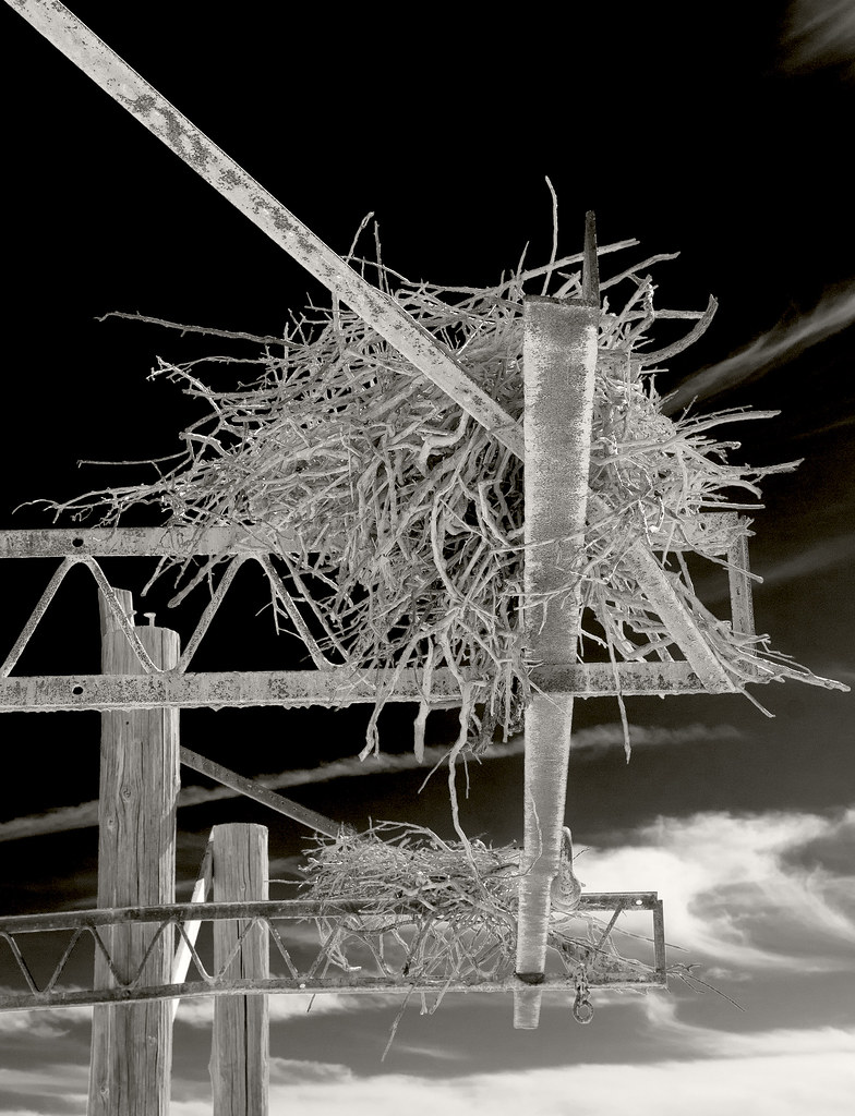
Two Nests2 by tomteske, on Flickr
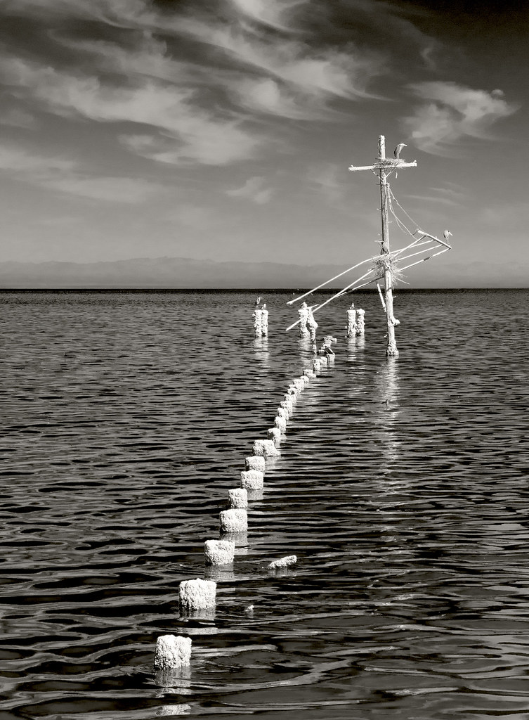
Pier by tomteske, on Flickr
Rusted out jeep dissolving into the ground.
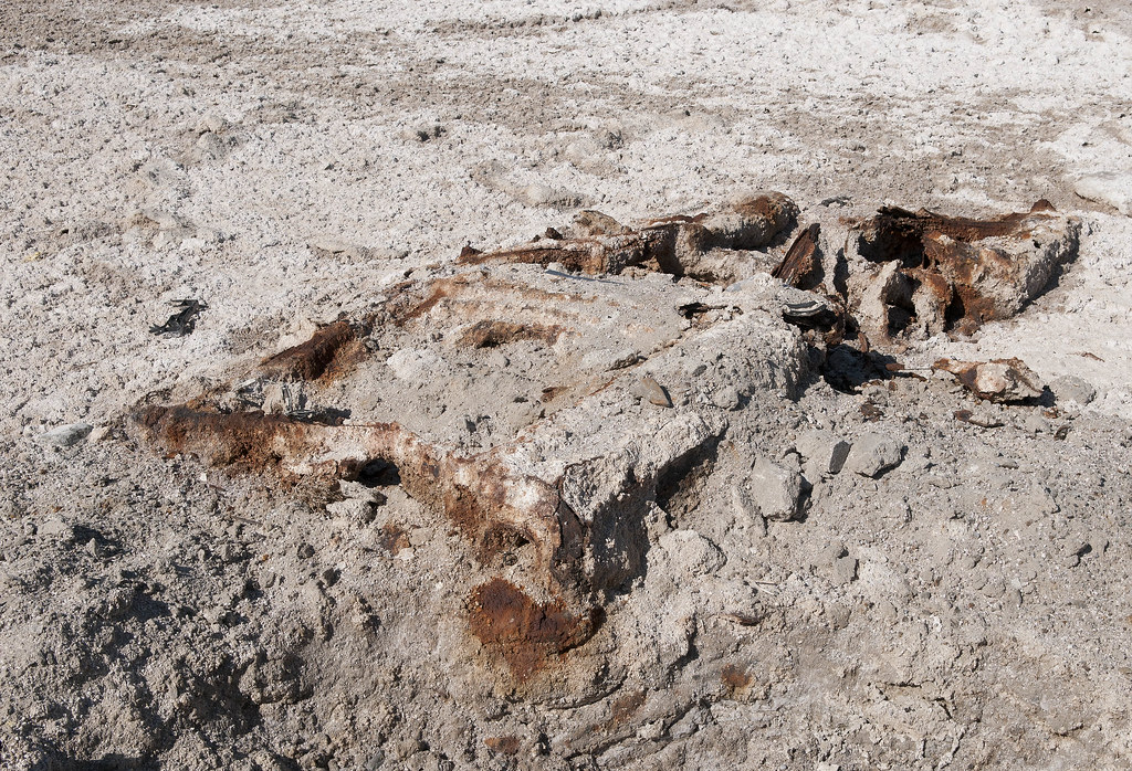
Jeep by tomteske, on Flickr
This guy was on the road heading north.
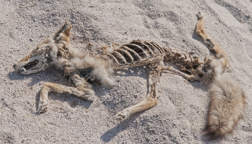
Coyote by tomteske, on Flickr
Finally, some camp circles.
Sleeping Circle by tomteske, on Flickr
SSTB Circles by tomteske, on Flickr
On the second trip out, finally found the iconic triangular fish traps.
SSTB Fish Trap by tomteske, on Flickr
SSTB Fish Trap2 by tomteske, on Flickr
Make sure and bring your 4X4 when you come out here since dunes have covered parts of the access road.
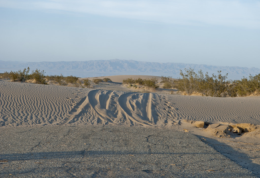
SSTB Road by tomteske, on Flickr
Time to head home. Enjoy. Tom
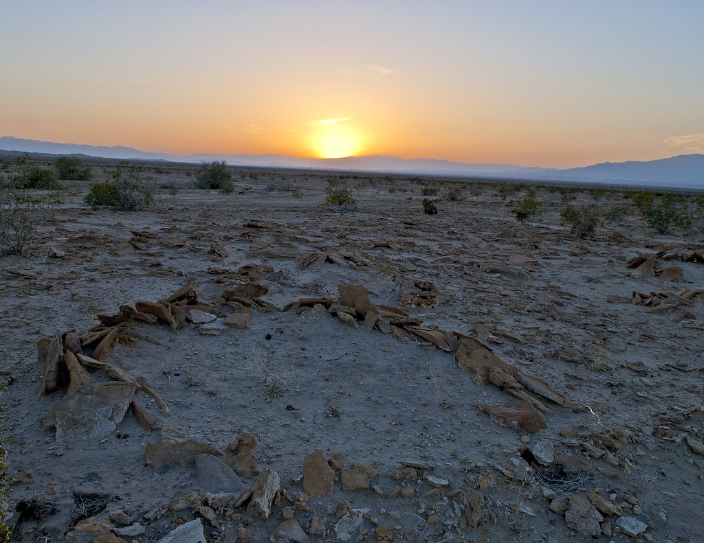
SSTB Sleeping Circle Sunset by tomteske, on Flickr
|
|
|
+2
link
|
|
surfponto Administrator Posts: 1369
3/30/2013
|
What an amazing area!
Very cool that the fish traps are still there.
I really need to check that out.
Thanks for posting that Tom
Bob
--
https://www.anzaborrego.net/


|
|
|
link
|
|
tommy750 Posts: 1086
3/31/2013
|
surfponto wrote:
What an amazing area!
Very cool that the fish traps are still there.
I really need to check that out.
Thanks for posting that Tom
Bob
It's kinda amazing you can still find these artifacts out there since it was a Navy base for decades and most of the ground has been disturbed by roads, buildings, etc. Neat place to visit. Tom
edited by tommy750 on 3/31/2013
|
|
|
link
|
|
anutami Posts: 491
3/31/2013
|
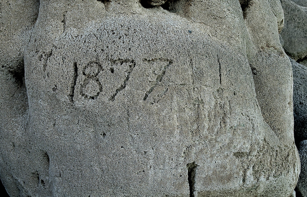
Wow! I can't imagine being out there with a fresh water lake. 1877? Is that real?
Here is what was going on then
Jan 8th - Crazy Horse and his warriors fight their last battle with the United States Cavalry at Wolf Mountain (Montana Territory).
Jun 17th - Indian Wars: Battle of White Bird Canyon - the Nez Perce defeat the US Cavalry at White Bird Canyon in the Idaho Territory.
Aug 12th - Thomas Edison invents Edisonphone, a sound recording device
Nov 21st - Tom Edison announces his "talking machine" invention (phonograph)
|
|
|
link
|
|
dsefcik Administrator Posts: 2634
3/31/2013
|
Great stuff Tom...not sure how you have so much time out there but great to read your trip reports..keep it coming..thanks!
--
http://www.sefcik.com
http://www.darensefcik.com
http://www.carrizogorge.com
|
|
|
link
|
|
tommy750 Posts: 1086
4/1/2013
|
Nolan (anutami) wrote:
Wow! I can't imagine being out there with a fresh water lake. 1877? Is that real?
Here is what was going on then
Jan 8th - Crazy Horse and his warriors fight their last battle with the United States Cavalry at Wolf Mountain (Montana Territory).
Jun 17th - Indian Wars: Battle of White Bird Canyon - the Nez Perce defeat the US Cavalry at White Bird Canyon in the Idaho Territory.
Aug 12th - Thomas Edison invents Edisonphone, a sound recording device
Nov 21st - Tom Edison announces his "talking machine" invention (phonograph)
I completely agree, Nolan. I was under the impression the traps were discovered by a pilot in the 1920's. Here's the earliest photo I found, taken in 1929.
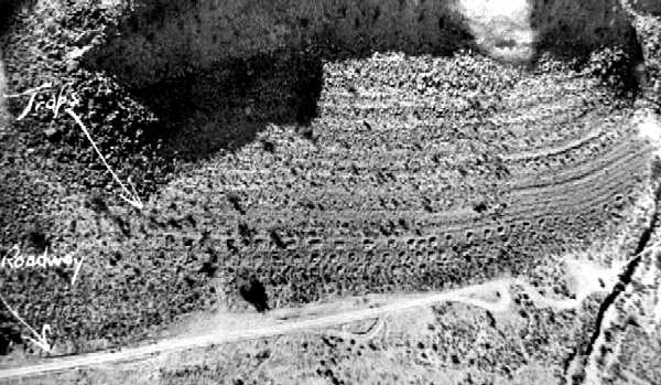
1929 Traps by tomteske, on Flickr
Ancient Lake Cahuilla was also named Blake Sea after this guy, the first geologist to publish a detailed description of the Salton Trough in 1858. It was also called Lake LeConte after a UC Berkeley geologist and early Sierra Club supporter. So there were people poking around in the 19th Century but not sure about this particular spot. Would be curious when it first showed up on a topo map.
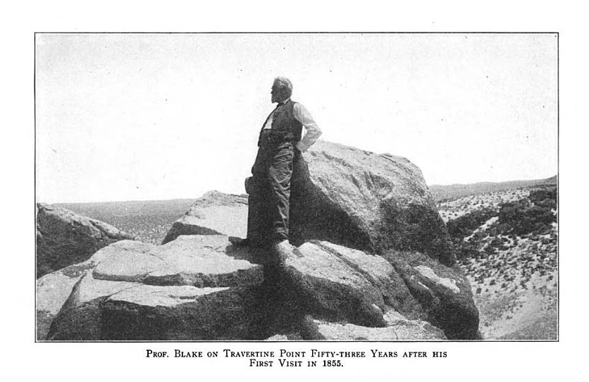
Professor Blake by tomteske, on Flickr
Not to beat this topic to death (actually, have found the lake really really interesting) but here's a view of Travertine Pt and the fish traps as if near the max lake level. Tom

Travertine Point by tomteske, on Flickr
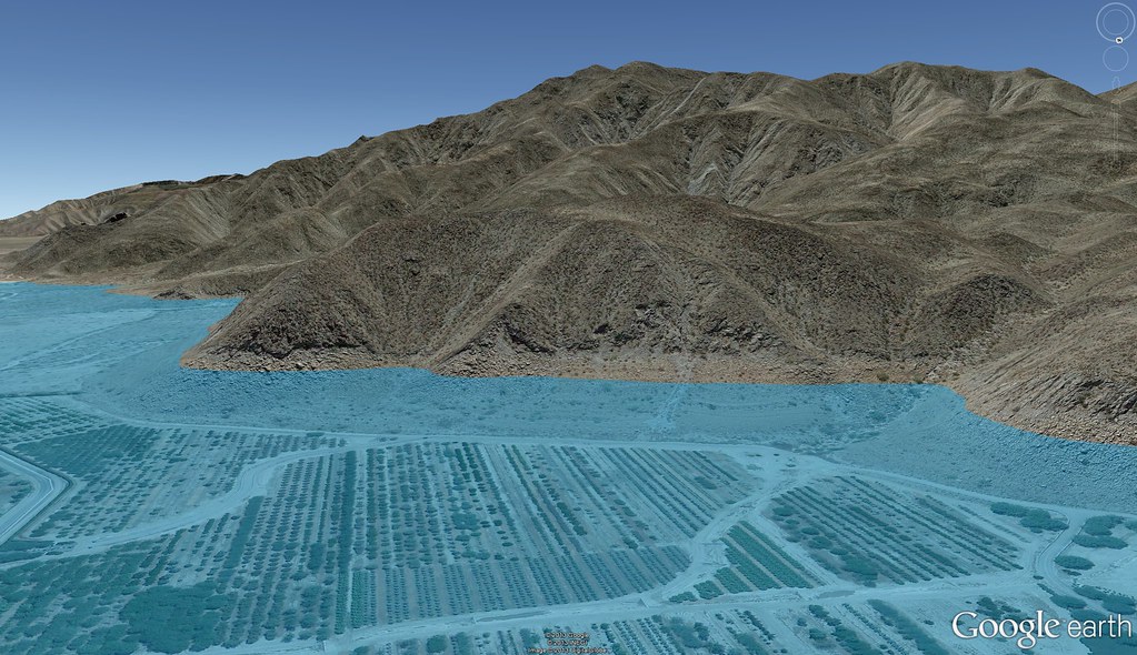
Indio Fish Traps by tomteske, on Flickr
|
|
|
link
|
|
tommy750 Posts: 1086
4/1/2013
|
dsefcik wrote:
Great stuff Tom...not sure how you have so much time out there but great to read your trip reports..keep it coming..thanks!
Daren, while you were out doing epic hikes in the Santa Rosas, I was strolling the ancient shoreline sipping from a red cup 
|
|
|
link
|
|
ziphius Posts: 911
4/1/2013
|
Great photos and tour Tommy. What camera are you using? That digitate petroglyph took a moment to take form for me. Thanks for finding my jeep, forgot where I had parked it.
--
http://www.coyotelearning.org
|
|
|
link
|
|
tommy750 Posts: 1086
4/1/2013
|
Jim (ziphius) wrote:
Great photos and tour Tommy. What camera are you using? That digitate petroglyph took a moment to take form for me. Thanks for finding my jeep, forgot where I had parked it.
Still using my 2008 Nikon D300. Just had the shutter replaced for $250 this month after only 46K shutter releases. Supposed to last 100K but cant' really say I've been gentle with it. Those petroglyphs were pretty hard to see and the pics were tweaked a lot in photoshop to even show as much as they do.
That jeep was pretty funny. We all walked around it knowing it was probably a vehicle but not able to find a clearly discernible part that would prove it. More like a jeep rust mark! That part of the base was flooded for quite a few years when the Salton Sea level was a lot higher after Kathleen and Doreen. Your jeep is at -233 ft and the max sea level was -195 ft after the storms.
|
|
|
link
|
|
waning moon Posts: 34
4/1/2013
|
Incredibly interesting and surealistic photos, how out of touch I am, did not know base was shut down and abandoned, now another place I have to go. I have not see photos of the traps that well done. Shame about the graffiti, last time I drove through grapes were being planted up and over sand dune behind Travertine rock, so much is being lost
[+quote=tommy750]Jim (ziphius) wrote:
Great photos and tour Tommy. What camera are you using? That digitate petroglyph took a moment to take form for me. Thanks for finding my jeep, forgot where I had parked it.
Still using my 2008 Nikon D300. Just had the shutter replaced for $250 this month after only 46K shutter releases. Supposed to last 100K but cant' really say I've been gentle with it. Those petroglyphs were pretty hard to see and the pics were tweaked a lot in photoshop to even show as much as they do.
That jeep was pretty funny. We all walked around it knowing it was probably a vehicle but not able to find a clearly discernible part that would prove it. More like a jeep rust mark! That part of the base was flooded for quite a few years when the Salton Sea level was a lot higher after Kathleen and Doreen. Your jeep is at -233 ft and the max sea level was -195 ft after the storms.
|
|
|
link
|
|
tommy750 Posts: 1086
4/1/2013
|
waning moon wrote:
Incredibly interesting and surealistic photos, how out of touch I am, did not know base was shut down and abandoned, now another place I have to go. I have not see photos of the traps that well done. Shame about the graffiti, last time I drove through grapes were being planted up and over sand dune behind Travertine rock, so much is being lost
The grape vines at Travertine Pt are almost all gone! Now there's young phoenix dactylifera palms in their place. Hear date farming is pretty lucrative these days. The base is pretty surreal. Here's pics of the some of the only remaining buildings. Tom
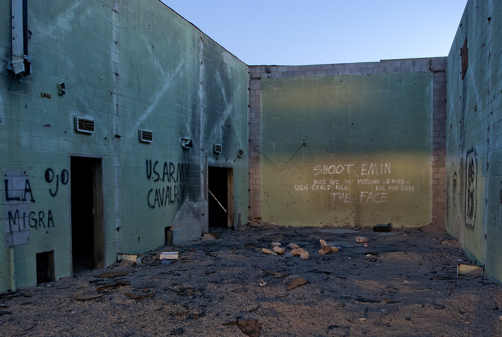
SSTB Building by tomteske, on Flickr
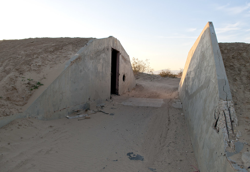
Bunker by tomteske, on Flickr

SSTB Building by tomteske, on Flickr
|
|
|
link
|
|
surfponto Administrator Posts: 1369
4/2/2013
|
I remember camping 20 +years ago in the proximity of the Navy range. (Carrizo Impact Area)
We pulled up in the dark and in the morning realized we were actually in the no-camp zone 
Supposedly there were un-exploded ordinances all over that area at one point, or so I have heard.
tommy750 wrote:
surfponto wrote:
What an amazing area!
Very cool that the fish traps are still there.
I really need to check that out.
Thanks for posting that Tom
Bob
It's kinda amazing you can still find these artifacts out there since it was a Navy base for decades and most of the ground has been disturbed by roads, buildings, etc. Neat place to visit. Tom
edited by tommy750 on 3/31/2013
--
https://www.anzaborrego.net/
|
|
|
link
|
|
hikerdmb Posts: 423
4/2/2013
|
I have camped in the impact area "by accident" also. There are some great canyons out there and some nice ocotillo forests too.
|
|
|
link
|
|
DesertWRX Posts: 135
4/3/2013
|
surfponto wrote:
I remember camping 20 +years ago in the proximity of the Navy range. (Carrizo Impact Area)
We pulled up in the dark and in the morning realized we were actually in the no-camp zone
Supposedly there were un-exploded ordinances all over that area at one point, or so I have heard.
A couple weeks ago the park detonated a found explosive device out there. Also the Navy does live firing out near the sand dunes at the old SS test base. There are no signs saying KEEP OUT!
edited by DesertWRX on 4/3/2013
|
|
|
link
|