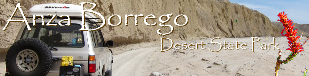

In an effort to escape the Memorial Day beach crowds, Mary and I left Leucadia and pointed the Land Cruiser east. Our destination was Combs Peak otherwise known as Bucksnort Mountain, located in the northern end of Anza Borrego.
At 6193 ft or 1888 m Combs Peak has the distinction of being the highest mountain in the Anza Borrego Desert State Park as well as one of the highest, most remote peaks in San Diego County.
For reference here is a list of the top 10 mountain peaks in San Diego
| Rank | Peak Name | ft | m |
| 1. | Hot Springs Mountain | 6533 | 1991 |
| 2. | Cuyamaca Peak | 6512 | 1985 |
| 3. | Mount Laguna | 6378 | 1944 |
| 4. | Mount Laguna-West Peak | 6299 | 1920 |
| 5. | Monument Peak | 6271 | 1911 |
| 6. | Wooded Hill | 6223 | 1897 |
| 7. | Stephenson Peak | 6200+ | 1890+ |
| 8. | Combs Peak | 6193 | 1888 |
| 9. | Hays Peak | 6160+ | 1878+ |
| 10. | San Ysidro Mountain | 6147 | 1874 |

Our two hour drive led us through some beautiful parts of the San Diego backcountry, and after an additional 5 miles off road we arrived at the junction of Lost Valley road and the Pacific Crest Trail. Lost Valley Road, while unpaved is a fairly easy drive as was made evident by the various assortment of vehicles we saw heading in the opposite direction. At one point we both did a double-take as a SUV towing a huge Airstream camper came bouncing down the road towards us.

We parked next to a Toyota Tacoma with Alaskan plates, grabbed the Delorme GPS and headed north up the PCT. The trail itself is in great shape and we were surprised to see a fair number of wildflowers as we made our way towards Combs Peak.
The hillside was dotted with the burned remains of Coulter pines, their branchless, blackened trunks still standing upright.
After 2 miles the hike turned into a scramble as we veered left off the trail and headed for the summit. There is somewhat of a worn path leading up the mountain, but at times we found ourselves scratching our heads trying to figure out the best approach. Using the various ducks (trail markers) as guides we were able to reach the summit in thirty minutes or so.
Once at the top, we unwrapped our sandwiches and sat down to relax and enjoy the 360′ view… or so we thought. Suddenly I heard “Hey I think these flies are biting me!”. Mary was right, these were not merely annoying house flies but some type of morphed devil flies that were intent on sucking our blood. We quickly wolfed down our sandwiches and high-tailed it back down the mountain.
We will do this hike again at some point, but next time we will bring the bug repellent. 😕